
suspended solids
Type of resources
Available actions
Topics
Keywords
Contact for the resource
Provided by
Years
Formats
Representation types
-
Water turbidity data based on survey (at different stations located inside the Danube Delta) measured in NTU for the period 2003-2004
-
Yearly water turbidity data from 1840 to 2014 from a network of stations located on Danube River and Danube Delta.
-
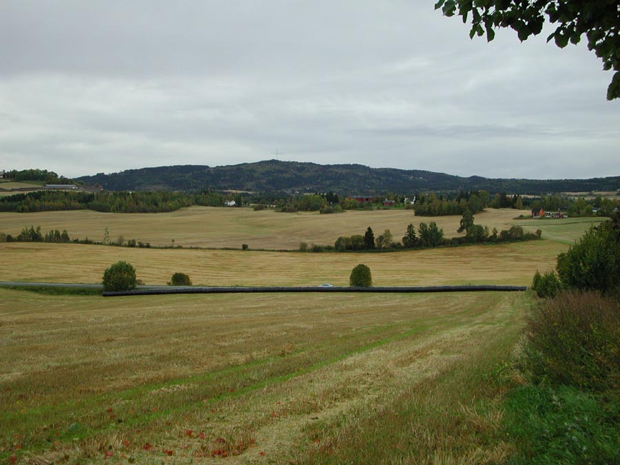
grain and grass dominated catchment located in the south-eastern part of Norway, monitored by The Norwegian Agricultural Environmental Monitoring Programme (JOVA)
-
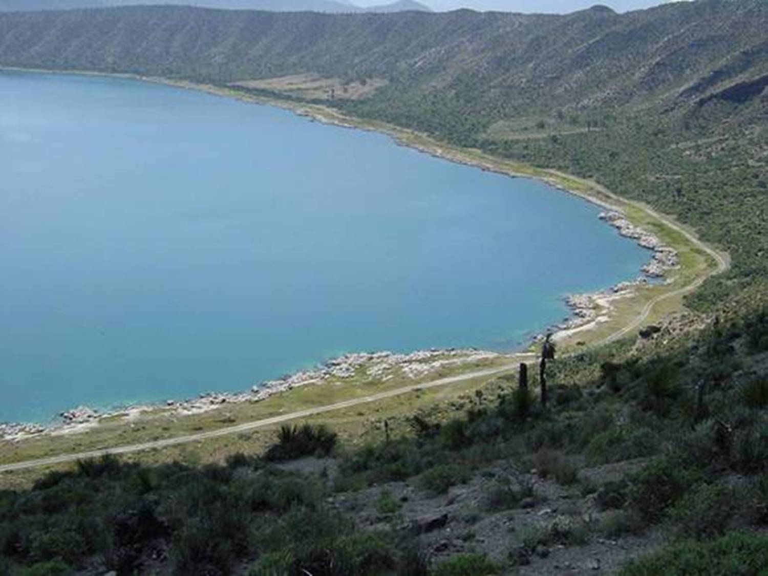
Lago Alchichica se localiza a una elevación de 2300 msnm con una profundidad 62 m y es de agua salobre.Habitan organismos endémicos y se encuentran rocas calizas de particular interés por los microorganismos que viven en ellas. Se encuentra en la Cuenca Oriental de Puebla.
-
HYBAM observatory runs a network of 17 stations for hydrological, sediment and geochemistry sampling in the Amazon basin. The infrastructure is shared between the partners in each country including France, Brazil, Peru, Bolivia, Colombia and Ecuador. ADCPs are used for river water flow measurements. Samples are processed in different laboratories at Manaus and Brasilia University (Brazil), Lima University (Peru) and Toulouse University (GET laboratory in France). For comparisons with other large tropical rivers, one stations is maintained along the Orinoco River (Venezuela) and Congo River (Congo) HYBAM data are used in a large variety of programs in relation to hydrology, geomorphology, geochemistry, climatology, climate change, carbon cycle, remote sensing and isotopic tracers. The data produced by the HYBAM observatory are made available online on its website (www.ore-hybam.org) to provide to the research community long term assessments on the hydrology of world largest basin.
-
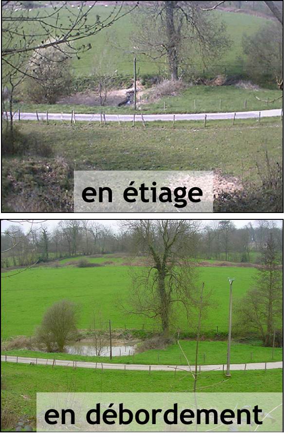
The Chalk Karst observatory groups different karst sites on the Cretaceous Chalk located at the Paris Basin (Norville, Radicatel, Yport, Saint-Martin-Le-Nœud). These karst watersheds range from 10 to 200 km2 and the land use consists of agriculture and grazing under oceanic climate. There are characterized by chalk plateaus covered with clay-with-flints owing to chalk weathering constituting a fairly impervious layer and with quaternary silts. These surficial formations range from 3 to 20 meters depth and are highly susceptible to crusting, compaction, and erosion, particularly during autumn and winter. A numerous swallow holes locally penetrates the chalk through the above-mentioned impervious layer, resulting in a strong connection of the surface with the aquifer inducing infiltration of turbidity releases at spring and well used to drinking water (up to 500 NTU). These Chalk karst sites are one the sites of the French SO-KARST labellised by INSU-CNRS and are a part of the French RBV-Network and ZA Seine.
-
Data refer to on-site measurements and water samples collected in the mesotrophic eastern and eutrophic western basin of Lake Balaton. The data sets covers various physicochemical variables including water temperature, conductivity, pH, total suspended solids, Secchi depth, light extinction coefficient and chlorophyll a concentration for phytoplankton. Samples were collected with a tubular water column sampler.
-
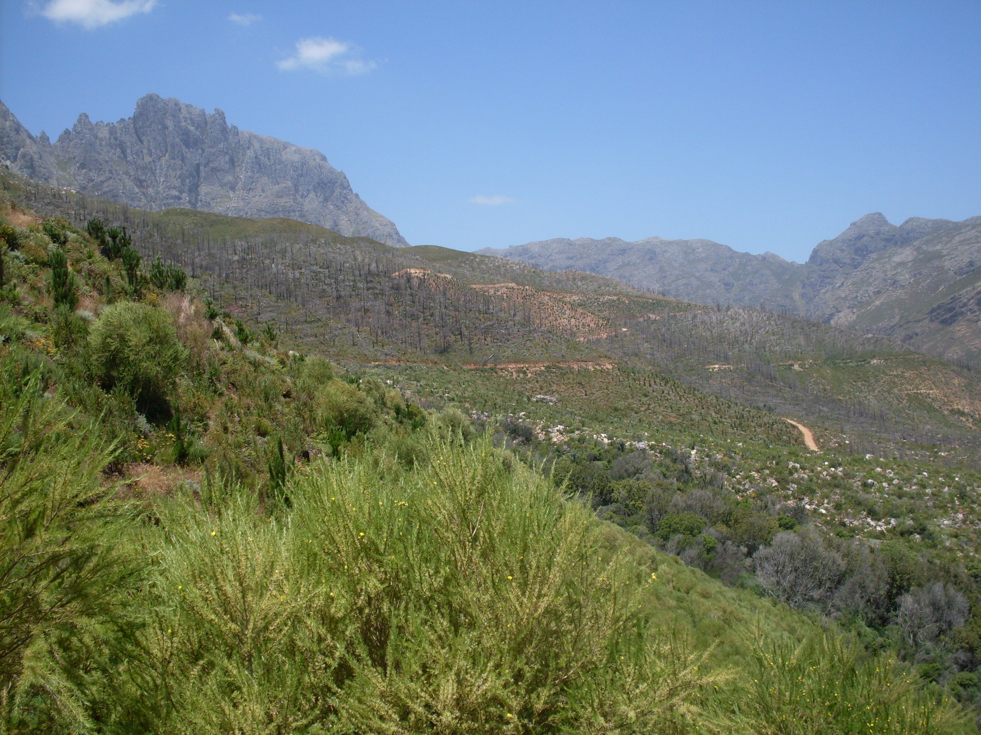
The Jonkershoek Valley site is located in a mountain catchment in the Cape Floristic Region and is the source of the Eerste River. The site was originally dominated by Boland Granite fynbos and Kogelberg Sandstone fynbos with patches of afrotemperate forest. From the 1930s, first order catchment experiments were established in the valley by the Jonkershoek Forestry Research Centre (JFRC) under the auspices of the South African Forestry Research Institute (SAFRI). The catchments were sequentially planted to pine species. Gauged weirs were built in the experimental catchments. Long term records exist for five gauged pine planted catchments and one natural fynbos catchment. The Swartboskloof catchment, located in the Jonkershoek valley, was the site of fire experiments in the 1970s and 80s.
-
grain dominated catchment located in the south-eastern part of Norway, monitored by The Norwegian Agricultural Environmental Monitoring Programme
-
UK ECN site. The River Esk rises on the uplands of the North York Moors National Park and is the only major river in the county of Yorkshire that drains directly into the North Sea. The catchment is sparsely populated without the pressures of industrialisation and urbanisation affecting other rivers in the Region. Open moorland characterises much of the catchment and is an important habitat for a wide variety of wildlife. Within the Esk valley there are six Sites of Special Scientific Interest (SSSIs), two of which extend south and cross the boundary of the Derwent catchment. The source of the Esk is upstream of Westerdale, where a series of small streams (becks) known as the Esklets merge to form the River Esk. Many of these moorland streams are affected by natural "flushes" of acidity, as well as iron run-off from natural ironstone strata and old mineral workings, making some of these becks an ochreous-orange colour after periods of rainfall. The combination of the two factors restrict the invertebrate fauna in these head-streams. The majority of the River Esk downstream of the Esklets has very good water quality, with the diverse invertebrate fauna dominated by mayflies, stoneflies, caddisflies and other pollution sensitive groups. This good water quality is also very important in sustaining other species such as salmon, sea trout, dippers and otters. The ECN site is at Briggswath (NGR: NZ 868 081), approximately 2km upstream of the tidal limit. At this point the river is approximately 15m wide, and in normal summer flows the depths vary between 20cm and 30cm.