
tree diameter at breast height
Type of resources
Available actions
Topics
Keywords
Contact for the resource
Provided by
Years
Formats
Representation types
-
GIS layer - map of forest types. Forest typology based on abiotic habitat parameters such as soil fertility and moisture, widely used by the forestry sector. Also available are thematic GIS layers showing historic forest and forestry data, as well as more current data on forest management (incl. timber harvesting) and such parameters as dominant species: height, age, trunk circumference (standard breast level measurement), proportion of coverage, etc.
-

Uhlířská (Jizerské Mts.) is a typical mountain catchment underlain by acidic bedrock and strongly acidified during the second half of the 20th century. Two thirds of the catchment were deforested in 1980s and subsequently reforested by Norway spruce (Picela abies) monoculture. Research here has been mostly focused on fluxes of ecologically important elements and water. The monitored characteristics include bulk and throughfall precipitation amount and chemistry, runoff amount and chemistry as well as soil chemistry, forest biomass and element pools but also plant community composition. Biogeochemical (MAGIC) and hydrological models (BROOK90) have been applied to predict future chemistry and hydrology under different scenarios of atmospheric deposition, forest growth and climate change. Hydrological processes of surface and subsurface runoff formation are studied in the catchment as a whole and in detail at the experimental hillslope Tomšovka using standard hydrologic and isotopic methods, incl. water transit time evaluation and groundwater age dating. Hydrology research focuses on water and heat flux in soil profile as well as on processes in the soil-plant-atmosphere system. Geophysical methods are used to reveal subsurface structures.
-
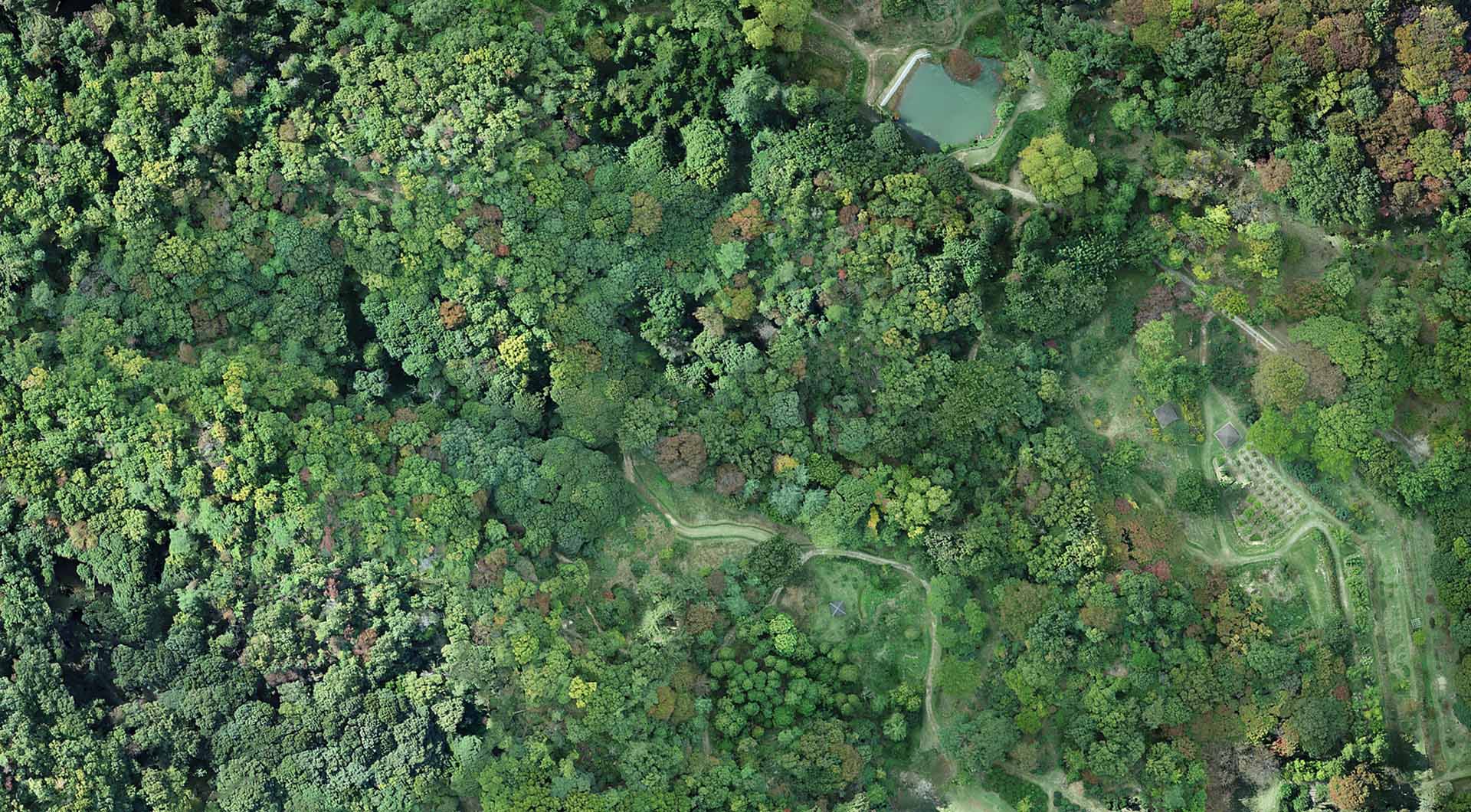
Within the approximately 26 hectare gardens many plant and tree species are cultivated, including 450 species native to Japan growing in the open air and 11 types of Japanese forest.
-
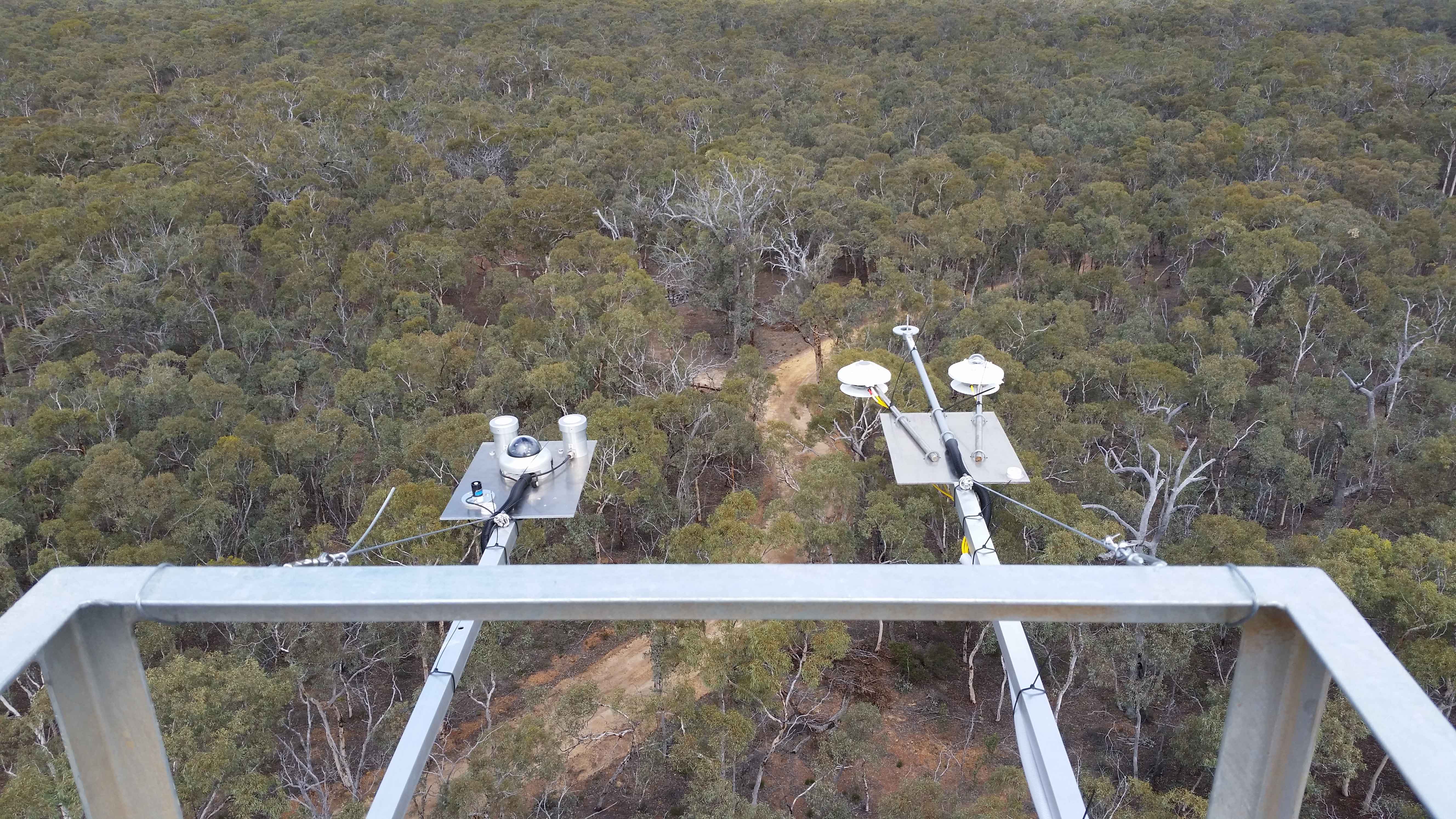
The Boyagin Wandoo Woodland SuperSite was established in September 2017 by the University of Western Australia. Located in the Boyagin Nature Reserve, approximately 12 km west of Pingelly, Western Australia the SuperSite monitoring activities complement the Avon River Catchment Critical Zone Observatory at the UWA Future Farm in Pingelly that focusses on managed landscapes (rotational dryland wheat cropping and grazing pastures for sheep). The climate is Semi-arid (Dry) Warm Mediterranean. The Boyagin SuperSite is collocated with the Land Ecosystem Atmosphere Program (LEAP) - Boyagin. Boyagin SuperSite is located in the Avon Wheatbelt (AW2-Re-juvenated Drainage subregion) and has a high density of rare and geographically restricted flora and supports populations of several marsupials subject to fox predation (Numbat, Quenda, Woylie, Tammar, Red-tailed Phascogale, Brushtail Possum) that have disappeared from most of the Australian or Western Australian mainland. The Noongar people are the traditional owners at Boyagin.
-
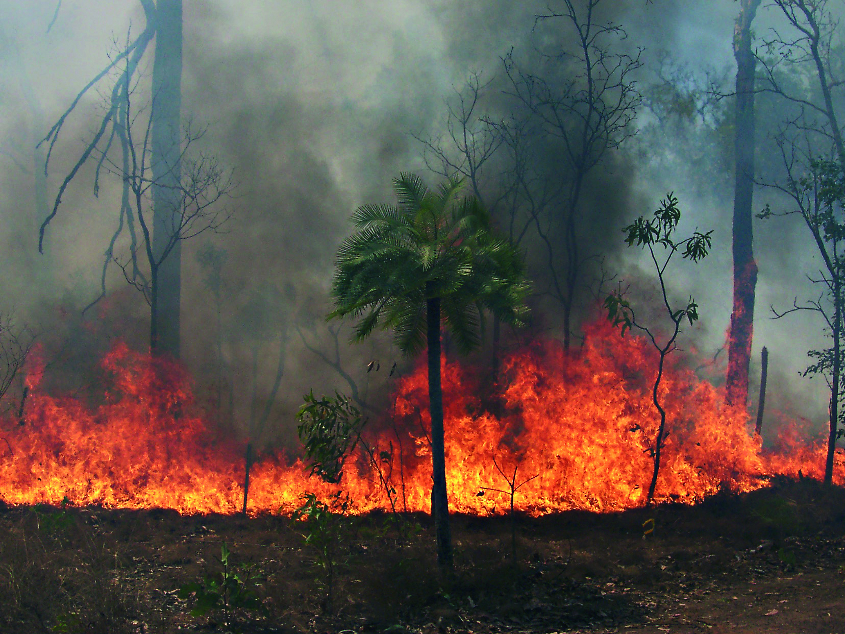
The Three Parks Savanna Fire-Effects Plot Network extends across three national parks (Kakadu, Litchfield and Nitmiluk) in the Top End of the Northern Territory. The fire monitoring program comprises two complementary components: satellite based mapping of fire events and on-ground assessment of change in biota at a set of permanent plots. Temporal visits are as follows: • 6 months (fire occurrence), • 4 months (fire mapping), • 5 years (vegetation), • opportunistic (fauna). Between 2012 and 2018 the Three Parks Savanna Fire-Effects Plot Network was a member of Long Term Ecological Research Network (LTERN), Australia, a facility of the Australian Government's Terrestrial Ecosystem Research Network (TERN).
-
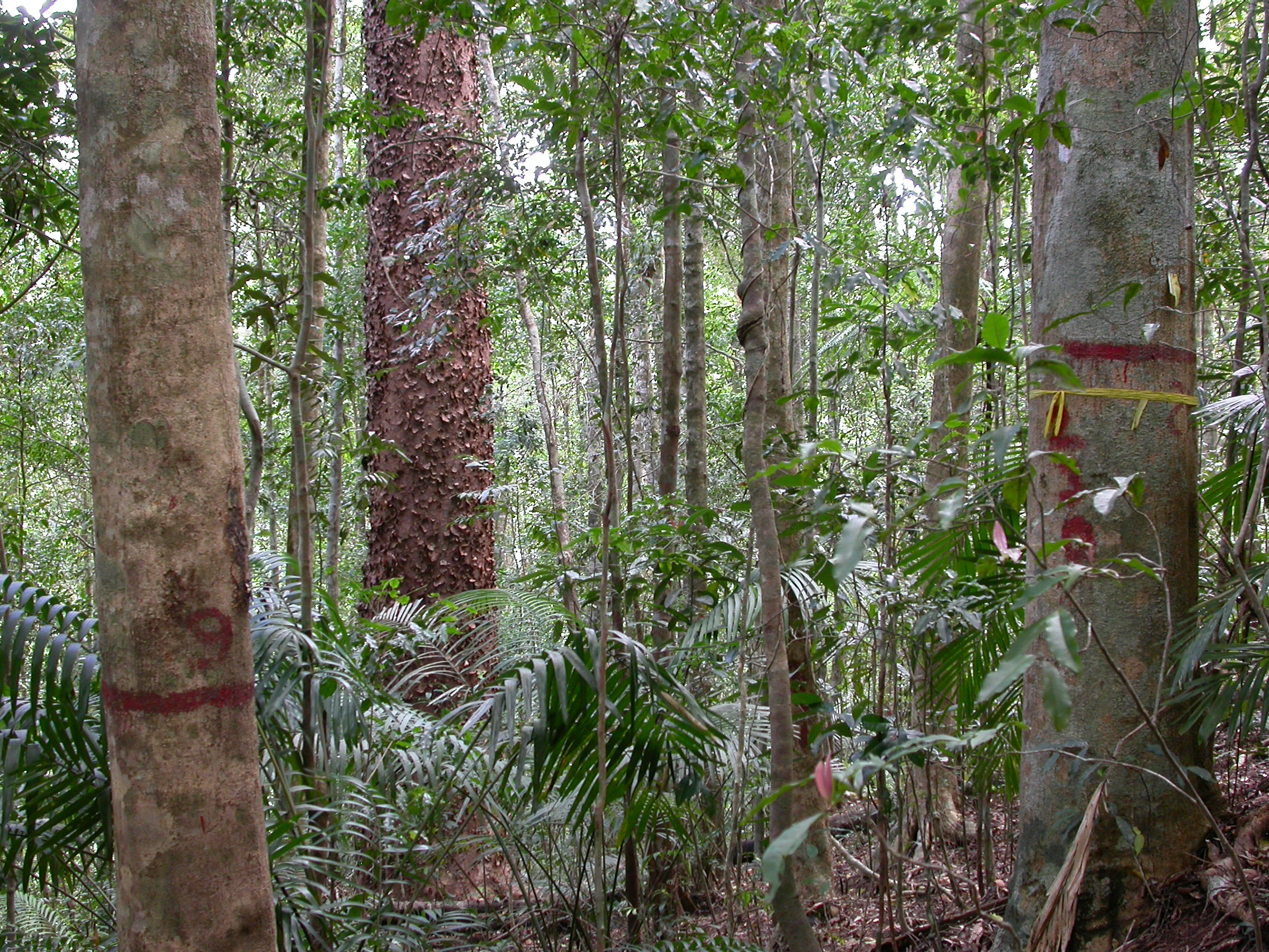
The Connell Rainforest Plot Network long-term forest dynamics plot of Davies Creek is located in the Dinden National Park circa 25 km southwest of Cairns, Northern Queensland. Temporal visits occur between 1 to 6 years. Between 2012 and 2018 the Connell Rainforest Plot Network was a member of Long Term Ecological Research Network (LTERN), Australia, a facility of the Australian Government's Terrestrial Ecosystem Research Network (TERN).
-
The Nanangroe Plantation Plot Network is located in the southwest slopes of NSW west of Lake Burrinjuck and includes four exotic Pine Plantations (Nanangroe, Cotway, East Bungongo and Bungongo), as well as private properties adjacent to those plantations. Its research infrastructure is comprised of an array of stratified 2-ha long-term plots. Temporal visits occur annually / biennially (rotating sampling program). Between 2012 and 2018 the Nanangroe Plantation Plot Network was a member of Long Term Ecological Research Network (LTERN), Australia, a facility of the Australian Government's Terrestrial Ecosystem Research Network (TERN)).
-
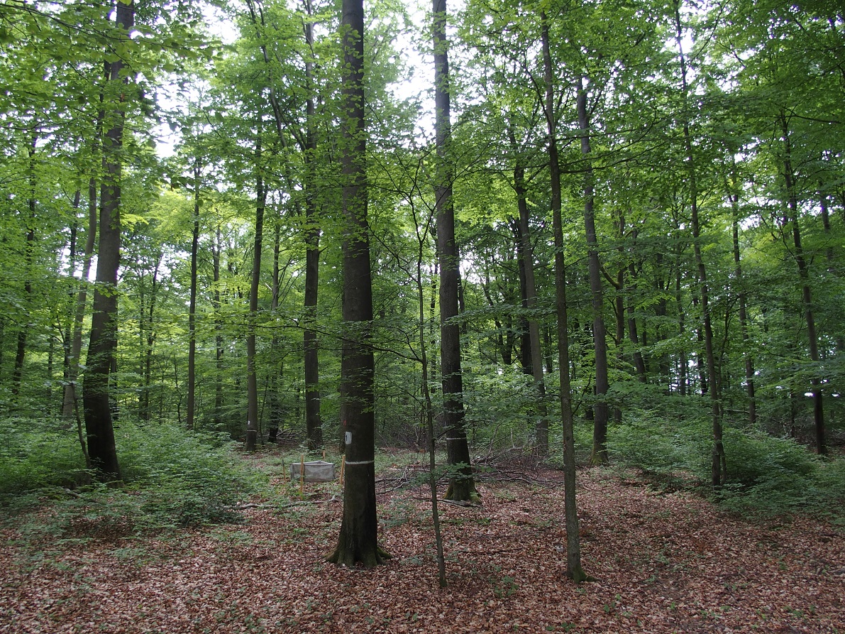
Forest inventory data of LTER Zöbelboden. Beginning in 1992 permanent inventory plots covering the site (64-70) and three intensiv monitoring plots (IP1, IP2, IP3) characterising the main forest types have been recorded approximately every 5 years. The data comprises tree species identity and status, tree height, canopy height, breast diameter among other parameters describing forest structure.
-
ICP forest monitoring plots: 0.5 ha of fenced stand + 20 m buffer area. Managment, data collection and reserch activities carried on by catholic university of Louvain (UCL)
-
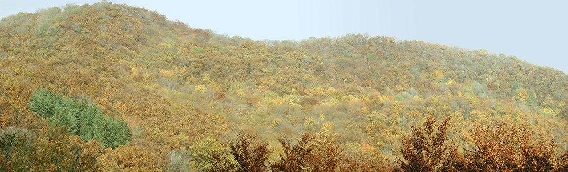
Central Europe maintains a considerable diversity of dry-mesic oak forests as the main representatives of zonal forest vegetation types in Hungary, covering the major part of foothills of the middle-range mountain, Inner Western Carpathians. The 669 m high, Triassic limestone hill called ‘Vár-hegy’ belongs to the Bükk Mountains. The annual mean temperature is about 8◦C and the annual precipitation is about 650 mm. The core area of the reserve (94 ha) is covered mainly by close-to-nature. long untouched oak dominated forests stands: Pannonic woods with Quercus petraea and Carpinus betulus; Pannonian-Balkanic Turkey oak-sessile oak forests; Pannonian woods with Quercus pubescens. It has been set aside for preservation in 1991, though several previous conservation acts had already secured almost spontaneous natural development of the stands. Most of the area was cut around 1880, however, several over-mature trees were retained. The intensive use in the previous centuries and during the world wars left a sessile oak dominated, 120-130-year-old, mostly coppice forest. The abandonment and the precedent severe oak decline contributed to generate a more diverse forest composition and structure developing towards a mixed forest with pronounced ‘old-growth’ characteristics.