
vegetation layer structure
Type of resources
Available actions
Topics
Keywords
Contact for the resource
Provided by
Years
Formats
Representation types
-
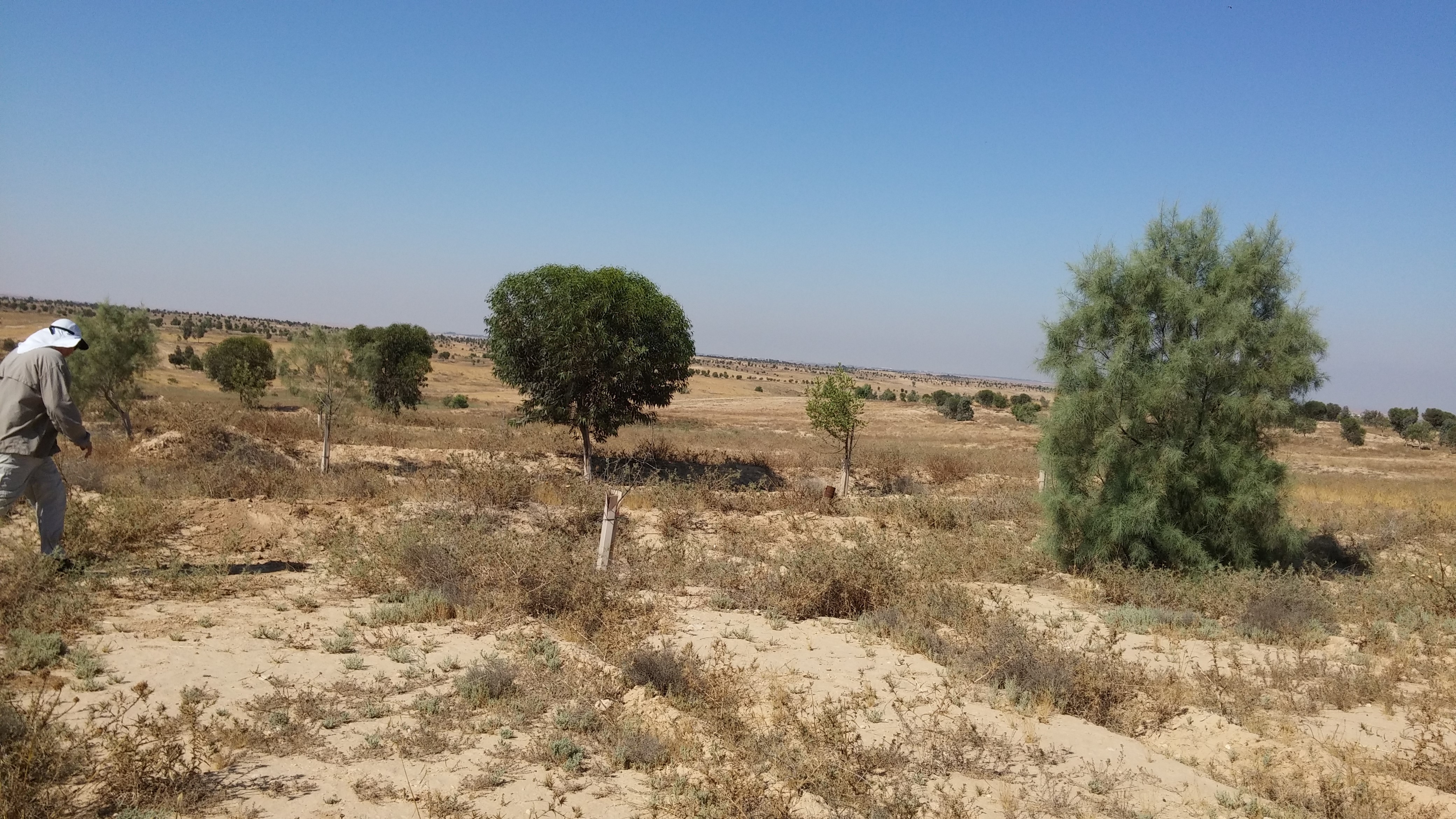
studying runoff water harvesting and its affect on the ecosystem and agroforestry
-
Managed realignment in the brackish part of the Scheldt Estuary. Realised since April 2004. A formal sand stock was removed to allow tidal influence.
-
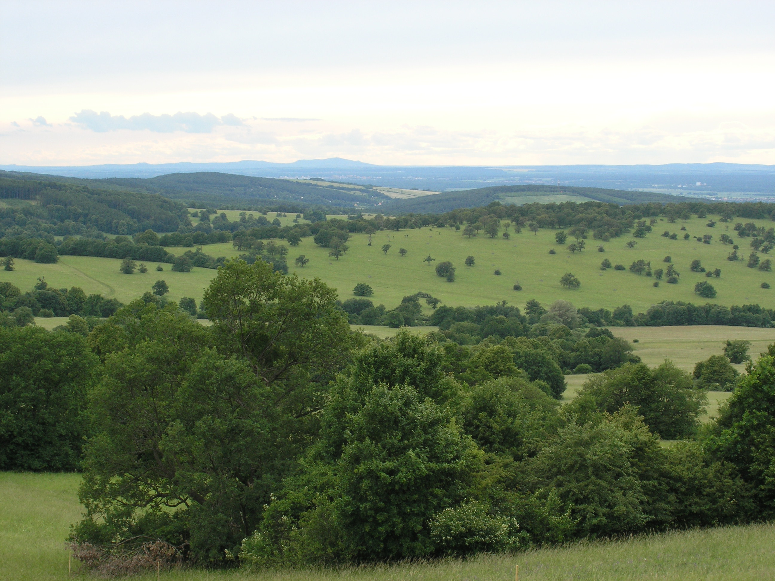
The White Carpathian (Bílé Karpaty) Mts. are important especially for their vast species-rich meadows with many rare and endangered species, often having here very large populations or remarkably isolated occurrences distant from the centres of their natural ranges. Čertoryje Nature Reserve and its buffer zone, which form the majority of the LTER site, is the largest area of this precious habitat in the White Carpathians. Meadows which were not fertilized (or even ploughed up) under socialist agriculture in the second half of the 20th century are the most valuable. These meadows are usually situated on steep slopes which were hardly accessible to the machinery and were thus often totally abandoned and gradually overgrew with expansive grasses and scrub. Their current biological diversity therefore needs resumption of the former extensive management (scrub elimination and subsequent regular mowing without fertilization). These resoration activities started here in the mid 1980s. A fine-scale monitoring of vegetation succession after management restoration at one of these plots is a component of the long-term research here since 1989. The opposite extreme of socialist agricultural management of species-rich meadows was their conversion to arable land. These fields have been gradually re-grassed since 1989. Restoration of the former species-richness is however very slow (or even impossible) and needs special restoration measures. Hence another objective of the local long-term research is the succession on re-grassed arable fields. Spatially detailed observations take place on the eastern slope of the Výzkum hill and are aimed to find out an optimalized economic method of restoring a species-rich meadow (four variants are tested). Except vegetation succession, also the development of several soil fauna coenoses (Testacea, Nematoda, Oribatida, Collembola, Enchytraeidae, Lumbricidae, Oniscidea, Diplopoda, Chilopoda, Opiliones, and Carabidae) has been studied here since 2000. Since 2009, also succession in a broader landscape context is studied, taking into account restored grasslands in a major part of the whole White Carpathian Mountains. More than one tenth of the localities from this landscape study takes place directly in the LTER site, representing about 100 hectares regrassed by a regional species-rich seed mix since 2000 and 30 hectares regrassed by a commercial clover-grass seed mix in the late nineties. The research is focused on both plants (mainly vascular plants, additionally also bryophytes) and animals (Auchenorrhyncha, Heteroptera, Lepidoptera: Hesperioidea, selected phytophagous Coleoptera).
-
The UNESCO-biosphere reserve „Schorfheide-Chorin“ was established in 1990 over an area of approx. 1.300 square kilometres, and is one of the largest protected areas in Germany. Situated in the North-eastern part of Brandenburg, including a major part of the regions Uckermark and Barnim, it represents an impressive cultural landscape with more than 320 lakes, thousands of bogs and mires, extended forests, meadows and arable land. The so-called Schorfheide and the Chorin end moraine curve are two different landscapes, seen under a culture-historical aspect. The Schorfheide stretches along the west side of the motor way A 11 (Berlin-Poland). The Chorin end moraine curve extends East of the motor way. 75 communities and three small towns (Oderberg, Joachimsthal and Greiffenberg) with a total of 35.000 residents are situated in the protected area. The main concept behind the biosphere reserve is the consideration of human impact on the land. It is meant to encourage producers to work in a sustainable manner. Thus, 79 % of the area can be used by man. To protect natural resources, priority is given to organic agriculture and forestry and to an extensive-pasture economy. One of the most important supporting partners is the association “Kulturlandschaft Uckermark e.V.” (For promotion of the Cultural landscape Uckermark)
-
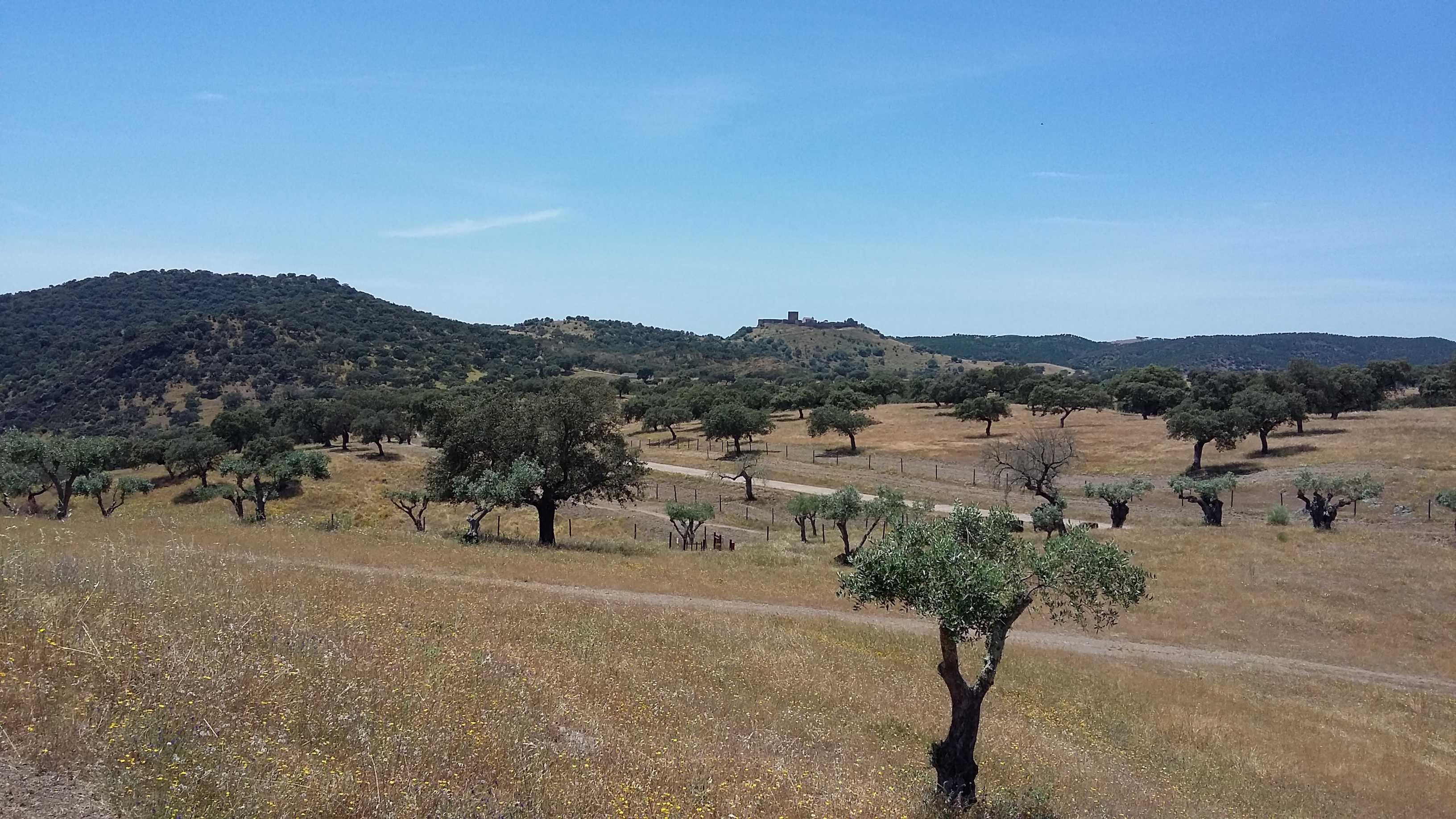
Herdade da Coitadinha is one of the six research and monitoring stations of LTER-Montado, an umbrella site located in the Alentejo province in south Portugal (southwestern Iberia). The "Montado" represents an unique agro-silvo-pastoral ecosystem (named "dehesa" in Spain) found only in the Mediterranean basin. These savannah-like landscapes are dominated by evergreen cork and/or holm oaks and were shaped over millennia of traditional land use practices. These multi-use forests are two-layered systems that combine, in a single space, forest harvesting, extensive livestock husbandry, pastures and/or cereal cultivation (the most evident economical revenues), with other traditional uses (hunting, beekeeping and mushroom picking). Recently, increasing awareness arose on their benefits as biodiversity reservoirs, recreation grounds, and other ecosystem services providers, but these non-productive functions are not equally perceived and valued by users, as they tend to be conflicting with productive ones. Herdade da Coitadinha is a state-run property, located in the bank tributary of the Guadiana River, in the Alentejo province, 200 km south-east Lisbon and 8 km from Barrancos (38º10’32’’N – 7º02’22’’W). Holm oak (Quercus ilex) is the dominant tree type. The site was bought by EDIA as a biodiversity offset to the building of the Alqueva dam, and so it is currently managed as a nature protection area (Parque Natureza de Noudar; www.parquenoudar.com). Management is made to promote biodiversity, while demonstrating the compatibility with land uses such as cattle grazing (0.5 livestock units/ha), winter fattening of black pigs, hunting (mostly wild boar), and eco-tourism. Holm oak woodlands are managed to promote natural regeneration, increase acorn production and maintaining tree health. In the foreseeable future the site will maintain its current land use, and so there are no imminent threats to the montado system. The main problem is the spread of oak tree diseases and mortality, which in the mid-term may impair the health of the ecosystem. Fire is a permanent threat, but there is thorough fire surveillance during the periods of high risk.
-
Herdade da Ribeira Abaixo is one of the six research and monitoring stations of LTER-Montado, an umbrella site located in the Alentejo province in south Portugal (southwestern Iberia). The "Montado" represents an unique agro-silvo-pastoral ecosystem (named "dehesa" in Spain) found only in the Mediterranean basin. These savannah-like landscapes are dominated by evergreen cork and/or holm oaks and were shaped over millennia of traditional land use practices. These multi-use forests are two-layered systems that combine, in a single space, forest harvesting, extensive livestock husbandry, pastures and/or cereal cultivation (the most evident economical revenues), with other traditional uses (hunting, beekeeping and mushroom picking). Recently, increasing awareness arose on their benefits as biodiversity reservoirs, recreation grounds, and other ecosystem services providers, but these non-productive functions are not equally perceived and valued by users, as they tend to be conflicting with productive ones. Herdade da Ribeira Abaixo is a state property, located on the left bank of Sado River, in Baixo Alentejo province, 100 km south of Lisbon and 7 km from Grândola (38.06° N – 8.35°W). Cork oak (Quercus suber) is the dominant tree type, with an average of 43 adult trees per hectare. Since 1990, there is a single main economic output - cork, which is harvested in a 9-year cycle, with an average production of 450 kg (dry weight) per hectare per year. Since 1998, cattle herding was abandoned and substituted by sheep, with an average stocking of 0.1 animals per hectare. Recently (2003 and 2004) the property was subject to management actions aiming to foster the natural regeneration of cork oaks; cork oak saplings were also planted in a recently burned area. The shrub layer is cleared heterogeneously across the property every 4-5 years. A serious tree decline is observed, especially in the high plateaus. Natural regeneration is not uniform, being concentrated in north facing slopes with a dense shrub layer. Ovine grazing, though of low intensity, is partly responsible for lack of regeneration. Holm oaks are rare in the property, but are increasing. Parts of the property were burnt repeatedly (the more recent fires happened in 2001 and 2003); however some of the north facing slopes maintain a luxurious mixed oak forest and were not burnt in the last 30 years. In these areas, shrub cover and height are increasing.
-
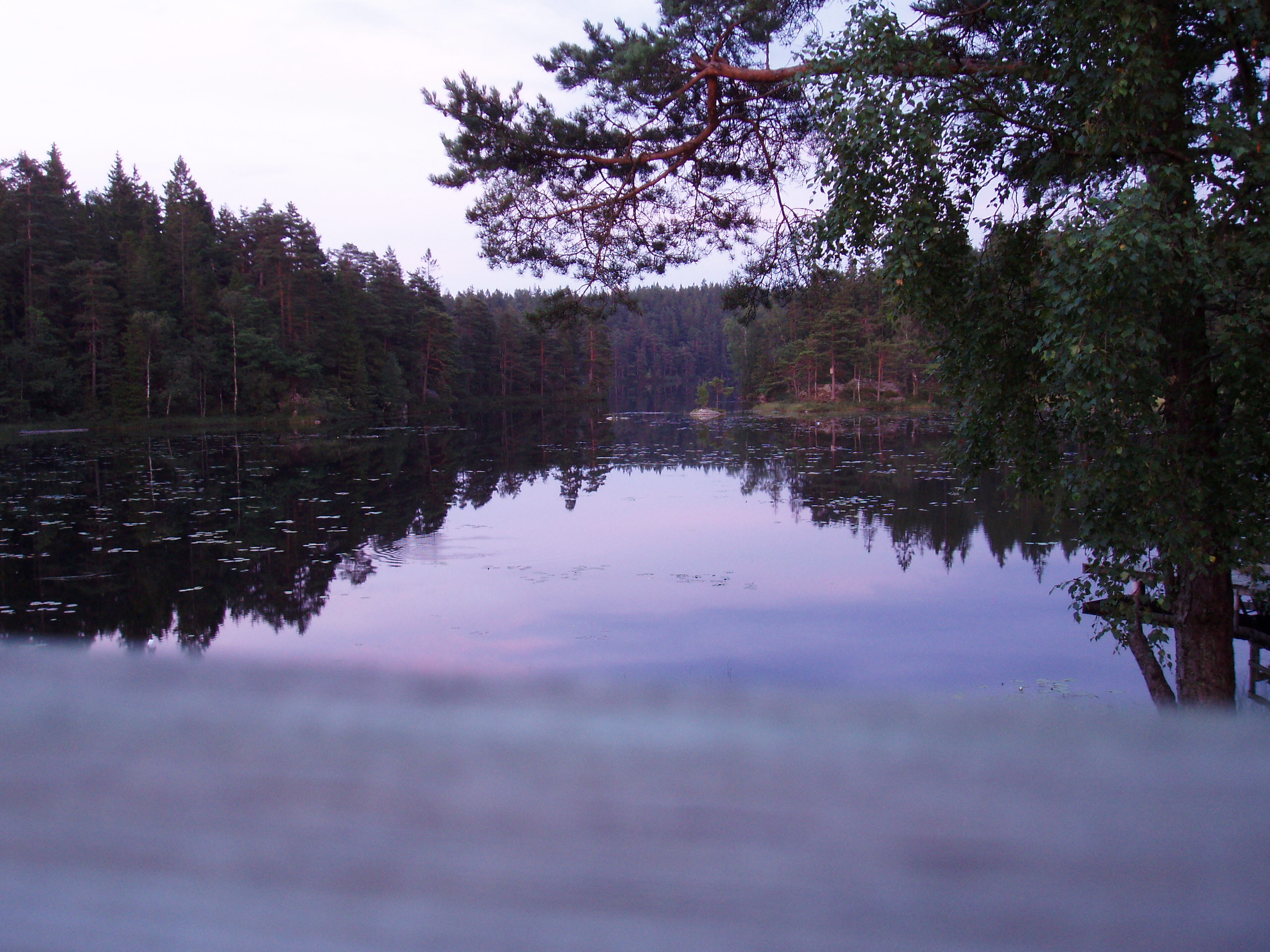
The lake Gårdsjön catchment is 2.1 km2 and includes 5 lakes and a number of headwater streams. It is located 50 km north of Göteborg. The whole area has been intensively studied for the last 30 years by scientists from IVL and from other institutes from Sweden and from abroad. Since 1979 several both national and international projects have been carried out. Smaller sub-catchments were used for experiments ranging from clear cutting, liming, fertilisation, sulphur addition and a combination of these treatments. In 1989 two large manipulation experiments were initiated. In the “Roof” experiment catchment G1 was covered by a transparent plastic roof and for 10 years the polluted precipitation was substituted with clean artificial precipitation sprinkled under the roof in a de-acidification experiment. The adjacent catchment G2 has been fertilised with NH4NO3 since 1991 to study several aspects (soil, water, vegetation) transition from N limited to N saturated conditions. Research at Gårdsjön resulted in three books and a large number of publications, covering different environmental problems, a range of pollutants, aquatic and terrestrial parts of the catchment, soils, vegetation and organisms. The site has served as an educational centre with countless visitors both from Sweden and abroad.
-
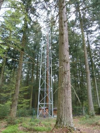
The site is a mixed mature forest composed mainly of Fagus Sylvatica, Pseudotsuga menziesii and Picea abies. The soil (100-150 cm deep) is a silty and stony soil with B structural horizon composed by schist and phyllades. Fluxes of CO2 and water vapour and micrometeorological measurements are performed above the forest by an eddy-covariance system installed on a tower since 1996. During the successive measurement years, several complementary campaigns have been organised : forest inventory, automatic soil respiration measurements, advection, ecosystem water budget, diffusion of CO2 and stable isotopes in soil, volatile organic compounds fluxes, soil carbon content inventory, monthly evolution of nitrogen deposition... Research activities are carried out by the University of Liège (GxABT) and the Université catholique de Louvain (UCL) within the ICOS infrastructure.
-
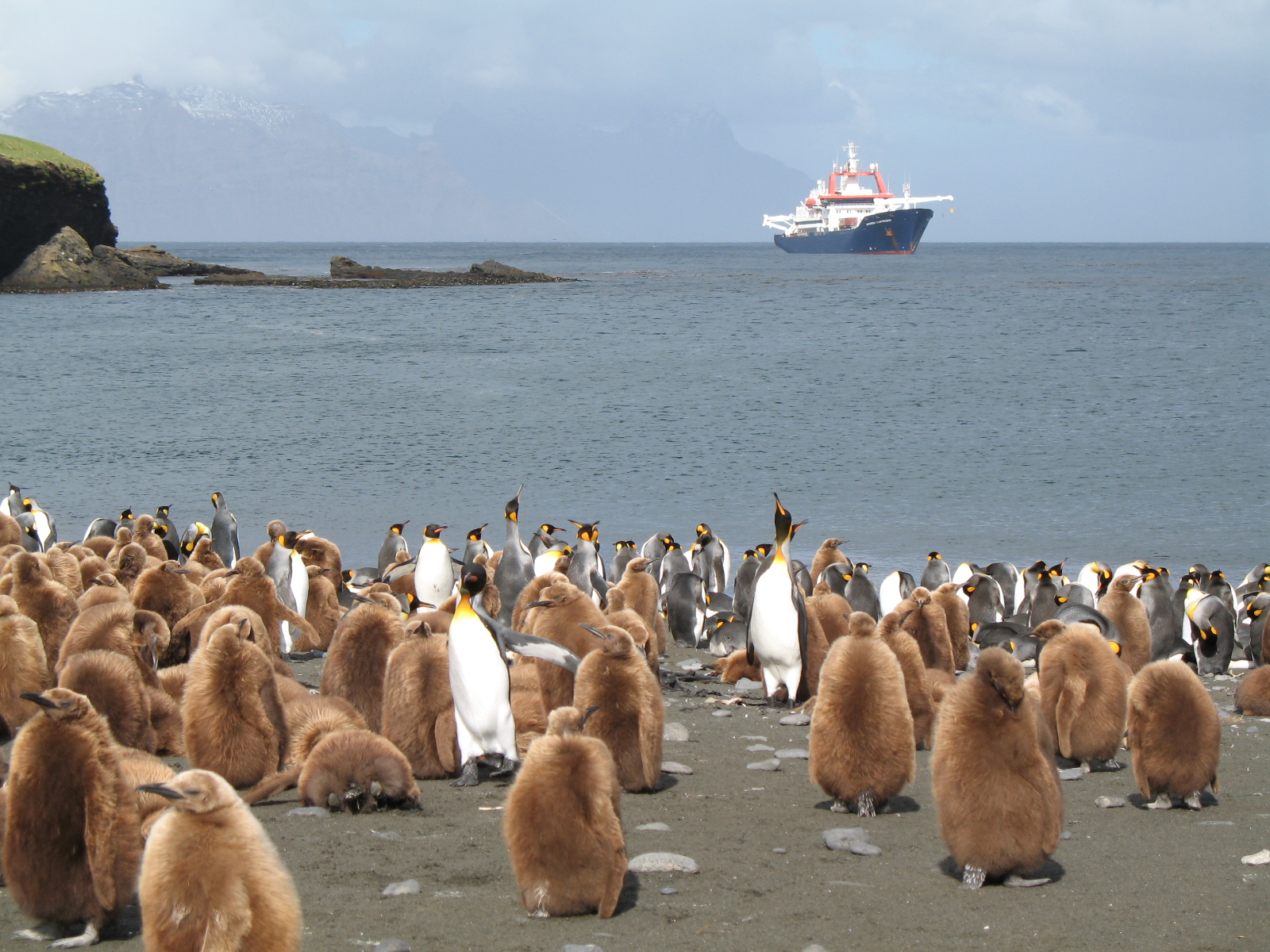
The LTSER Zone Antarctique belongs to LTER-France network and is located in Antarctica (Adelie Land), French sub-Antarctic Islands (Crozet archipelago, Kerguelen Islands, Saint-Paul et Amsterdam Islands) and southern ocean. General information below concerns Kerguelen Islands. The ZATA measures the impacts of climate change and human activities on antarctic and sub-antarctic ecosystems.
-
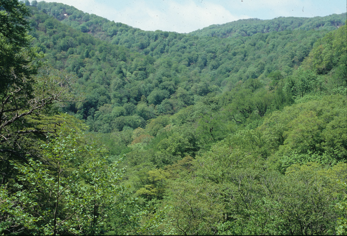
A 4.71-ha site in a beech-dominated landscape, with montane creek stand (2.48 ha) as well as adjacent terrace stand (1.08 ha) and steep slope connecting between them. Deciduous species-mixed stand, without evidence for logging, under temperate climate with heavy snow (max. depth: 1.8 m) in winter. Characterized by canopy breakage and fluvial transport of sedimentation, as well as bumpy ground surface with a mixture of boulders and deep soils. As a result, a diverse array of tree species coexist, with rich ground layer vegetation, in the riparian stand, whereas beech is the dominant species in the terrace stand. Intensive monitoring for seedfall and tree community dynamics since 1990's.