
water table
Type of resources
Available actions
Topics
Keywords
Contact for the resource
Provided by
Years
Formats
Representation types
-
In Doñana official groundwater level and recharge monitoring is done by the Guadalquivir Water Authority (Confederacion Hidrografica del Guadalquivir CHG). Levels are recorded monthly at 195 measurement points distributed throughout the whole area (unsaturated zone) with starting dates between 1974 and 1994. Additional measurements related with groundwater recharge and chemical composition, covering different periods and areas, are made by research entities. Geological and Mining Institute of Spain (IGME) installed soil moisture sensors and piezometers in the sandy soils of Doñana in 2008 and one lysimeter has been installed in 2016
-
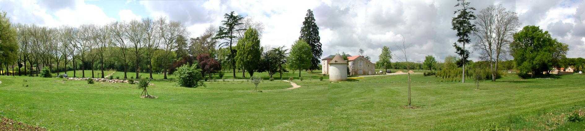
Located 2 km east of the Science Campus of the University of Poitiers, the Hydrogeological Experimental Site (HES) occupies an area of 12 hectares on land belonging to the University. From the geologic viewpoint the SEH occupies the north flank of the “Seuil du Poitou”, a huge Mesozoic carbonate plateau marking the transition between the Aquitaine and Paris sedimentary basins. The studies conducted at the SEH focus mainly on the Dogger Aquifer. The experimental layout now comprises 35 boreholes, including two vertical and two inclined cored holes.
-
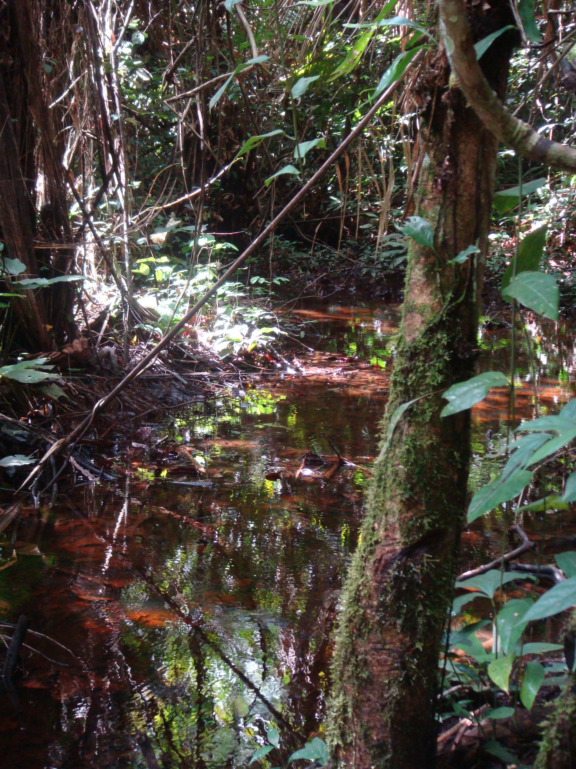
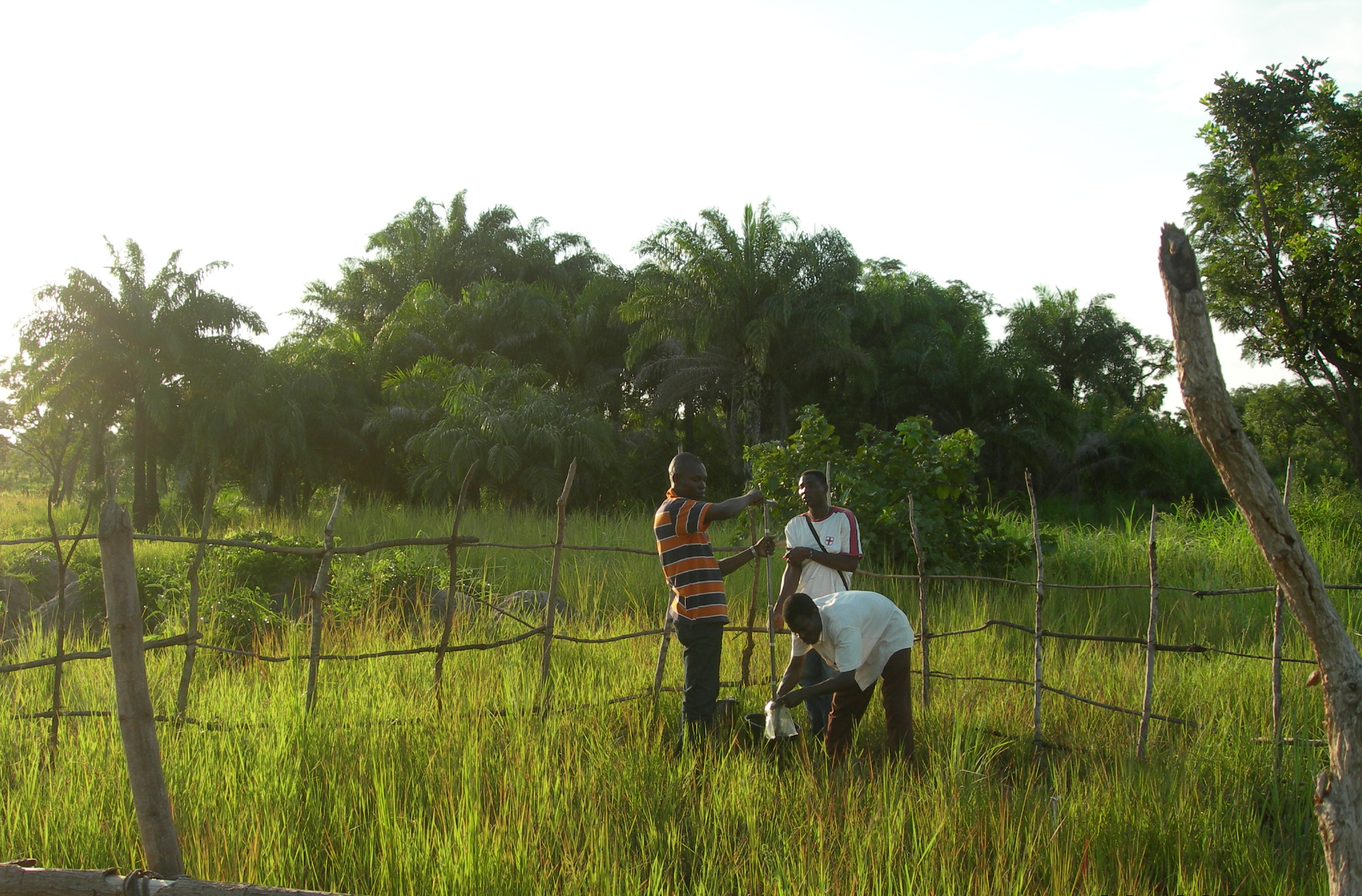
National Network Name : rbv_czo Nested watersheds in humid tropical forest of Cameroon from the Mengong experimental watershed (0.6 km2) to the Nyong River at Olama (18500 km2) Granitoid bedrock secondary forest low anthropogenic pressure Monitoring initiated in 1994 for some parameters more details at : https://mtropics.obs-mip.fr/
-
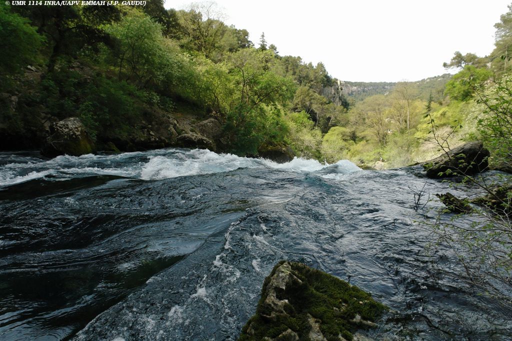
The Environmental Research Observatory Site of Fontaine de Vaucluse – LSBB is an observation and experimental site located in south-eastern France. Observation and experimentations are performed by UMR EMMAH (AU/INRAE) at two different scales: at catchment scale since 1981 (these observations and experiments are reported within the SNO KARST) and at micro-site scale since 2002 at the Low Noise Underground Laboratory (these measurements are reported within the SNO H+ network). Fontaine de Vaucluse is both outstanding and typical of the mediterranean context. This spring is one of the largest springs in Europe with an average discharge over 20 m3/s. It is the main outlet of a large limestone catchment (~ 1160 km2), that extends mainly over natural land, with thick unsaturated zone (800 m in average).
-
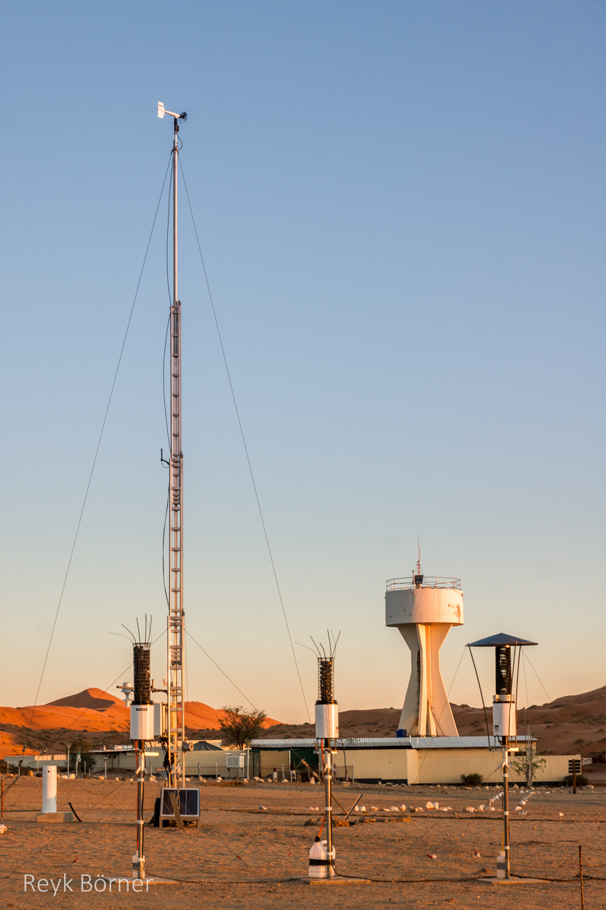
Gobabeb is a Research Centre with accommodation, conference, laboratory and teaching facilities in Namibia's Namib-Naukluft National Park, about 65km from the coast on the northern bank of the ephemeral Kuiseb River. It is located at a point where three main habitats meet (ephemeral river, gravel plain and the Namib erg) and lies within the inland edge of the fog zone. It is the designated monitoring and research centre for the Namib Sand Sea World Heritage Site.
-
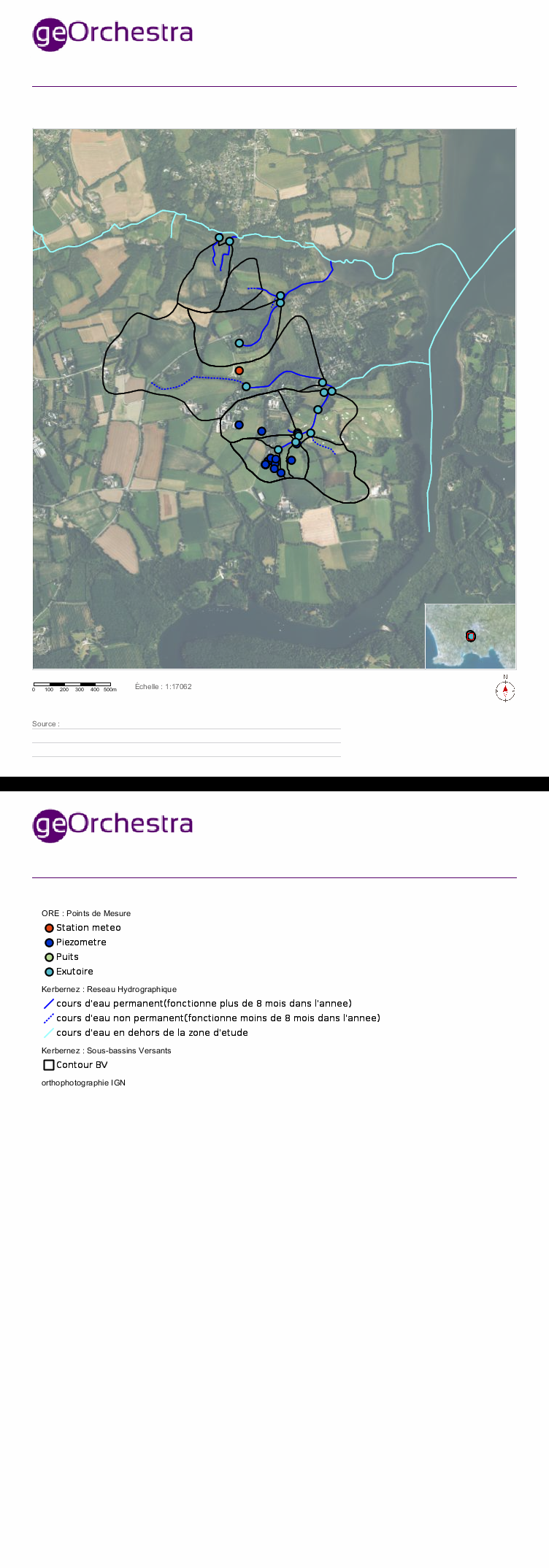
Located in South West of Brittany, western France, the elementary catchments of Kerbernez are underlain by old bedrock and is characterised by a oceanic, humid and temperate climate and by an intensive agriculture. In every catchment, the hydrology is controlled by a shallow aquifer made of the unconsolidated weathered bedrock. The water table in the aquifer is close to the soil surface in bottom land areas of catchment. During storm event, surface runoff occurs mainly over the saturated soils of bottom lands. The Environmental Research Observatory (ERO) AgrHyS focuses on the response times of changing Agro-Hydro-Systems (defined as a catchment influenced by agricultural activity) for hydro-chemical fluxes.
-
The Oueme mesoscale site (Benin) is part of the AMMA-CATCH observation network. Its characteristics are as follows a 14000 km² basin in sudanian climate on a crystaline basement. The studies focus on the hydrological cycle, the water budget and the hydrological processes.
-
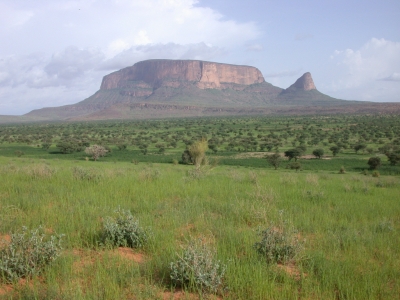
The Gourma mesoscale site (Mali) is part of the AMMA-CATCH observation network. Its characteristics are as follows :a 30000 km² endoreic area in semi arid climate. The studies are dedicated to vegetation monitoring in a pastoral environment.
-
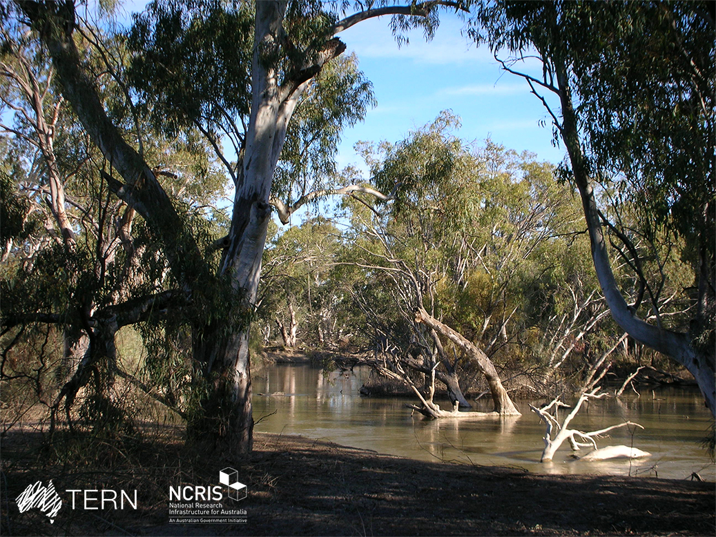
The Calperum Mallee SuperSite is a member of the Australian SuperSite Network (SuperSites, http://www.supersites.net.au/), a facility within the Australian Terrestrial Ecosystem Network (TERN, http://www.tern.org.au/). The SuperSite is located on Calperum Station, near Renmark, South Australia with research plots located in mallee woodland, Callitris woodland and floodplain black box, river red gum and lignum ecosystems. The property was a pastoral grazing lease for nearly 150 years, so it has suffered grazing-induced modifications to its ecosystems that are now being actively restored. The Native Title for the area is held by the First Peoples of the River Murray and Mallee. Key research objectives include: • What are the fundamental energy, carbon, water and nutrient stocks and flows in the Mallee, Callitris woodland and river floodplain ecosystems? • How are these stocks and flows responding to the management interventions (reduced and controlled grazing, controlled fire, controlled floods on the floodplain)? • How are the biota changing in form, frequency and distribution as climate changes and management interventions are imposed? • How important is the connectivity between these ecosystems for hydrology, faunal movement and as refugia in times of drought?
-
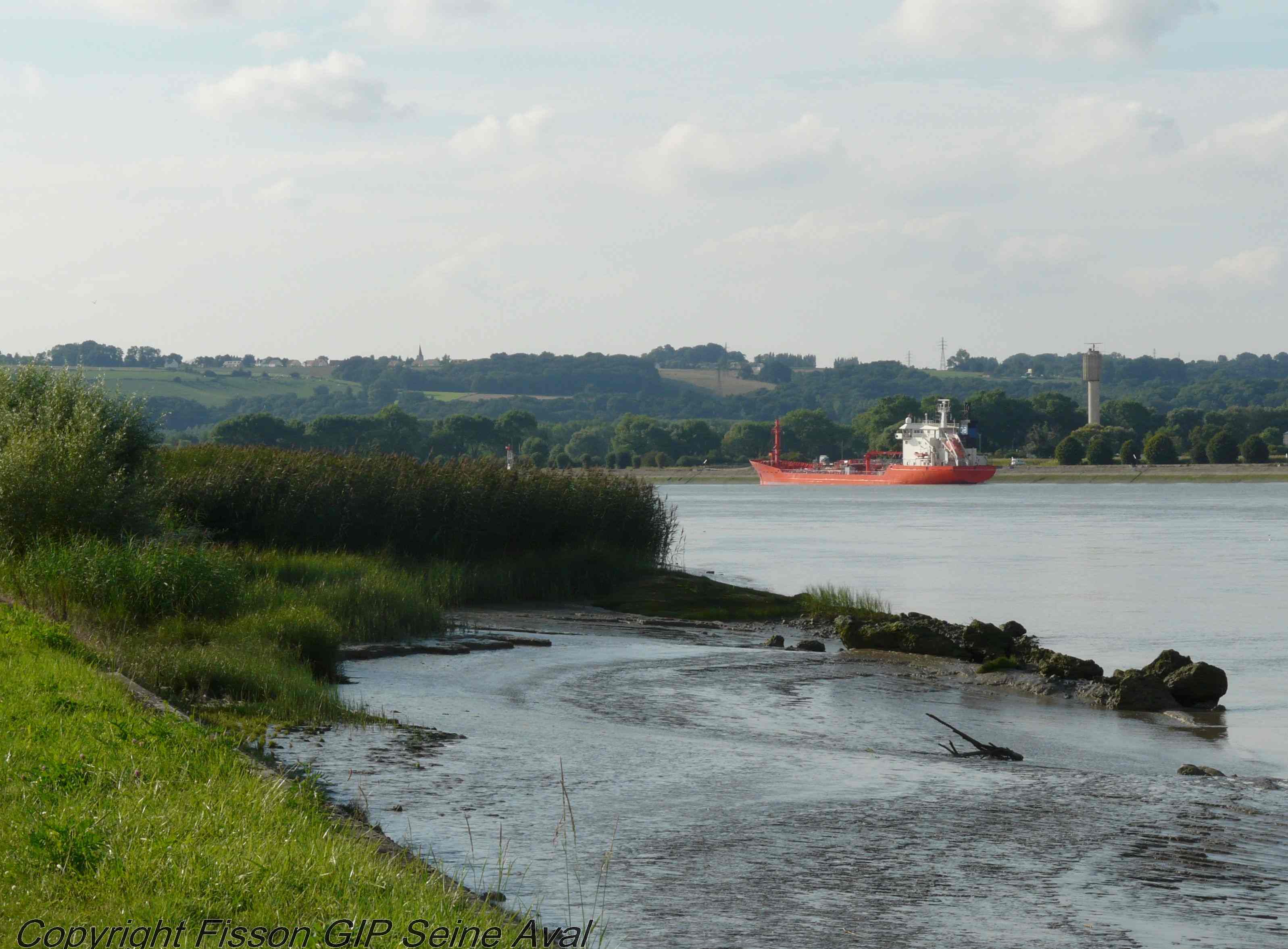
The LTSER Zone Atelier Seine belongs to LTER-France network and is located in Seine River Basin. The ZA Seine general aim is the study of a whole region. How its inhabitants construct the aquatic environment, as well as the quality of surface- and ground-waters may be seen as the dominant scientific question. The question is posed at various scales in space (from sub-catchments to the whole basin), and in time (from historical analysis starting in the Middle-Age to prospective studies for the next century).