
Czech Science Foundation (GACR)
Type of resources
Available actions
Topics
Keywords
Contact for the resource
Provided by
Years
Formats
Representation types
-
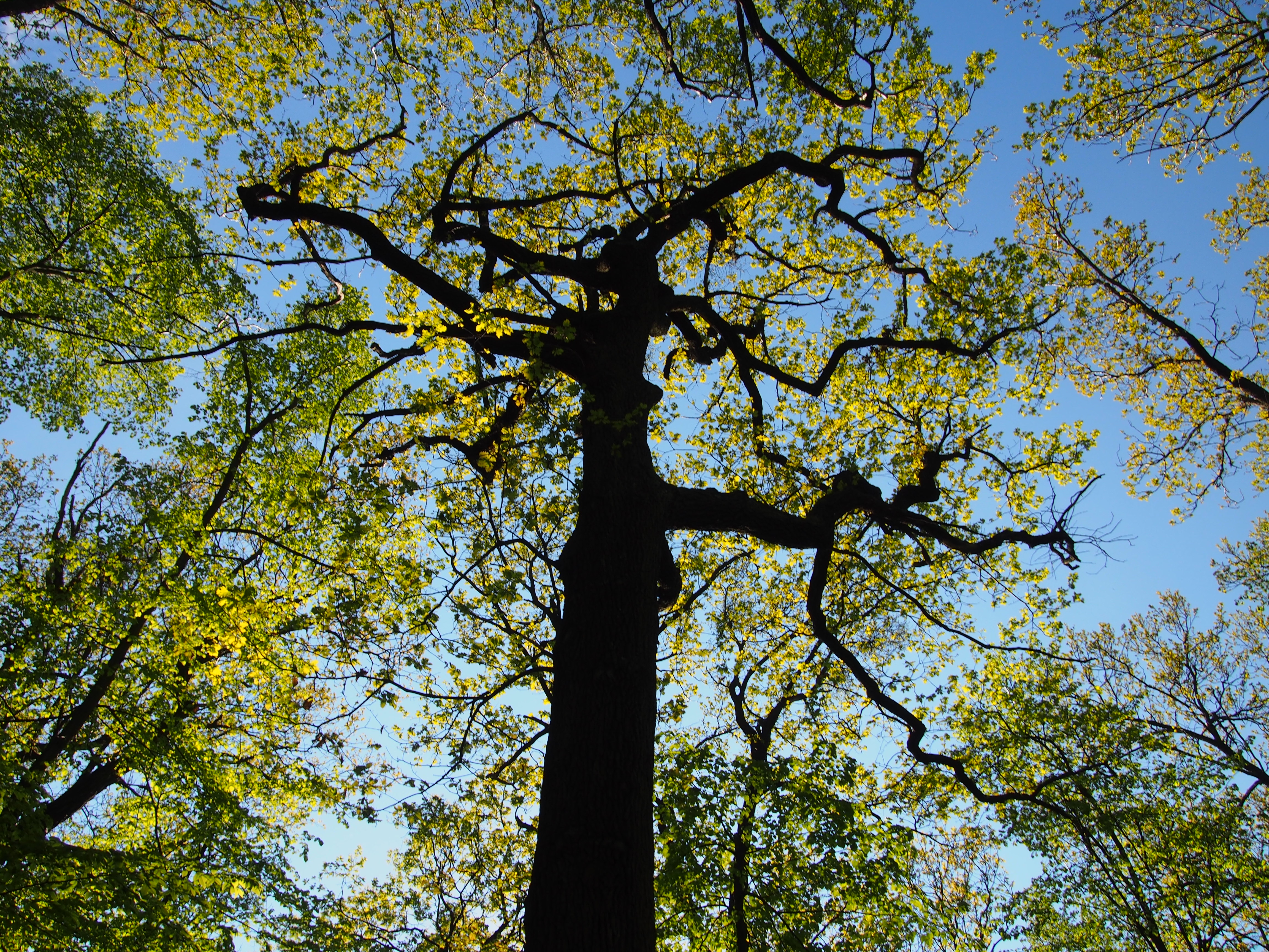
The Šumava Biosphere Reserve, which includes the Šumava National Park, was established as a Czech LTSER platform in 2008. Its territory covers most of the Czech part of the Bohemian Forest (Šumava in Czech, Böhmerwald in German) along the historical border of Bohemia with Bavaria (Germany) and Austria. The Bohemian Forest creates the most extensive forest landscape in Central Europe, where primeval mountain forest remnants, glacial lakes, peat bogs, and mountain secondary grasslands are home to various communities of vegetation and animal species. The centre of this region is preserved as the Šumava National Park (680 km2). Human colonisation and exploitation of the Bohemian Forest has a long history accelerated during the Middle Age and caused gradual changes in land use. Deforestation and agriculture as well as local population peaked before the beginning of the last century (before the World War I), while after the World War II came to a significant reduction of the settlement. In consequence of historical and economical changes in the region, dramatic land use changes, such as land abandonment or boom of tourism, have largely affected regional development in the recent past. Due to the serious changes in settlement and land use, this region is worth to study also socio-economic issues, e.g., land abandonment and secondary succession, current changes in farming, sustainable forest management, tourist and transport pressure (parking, biking and skiing facilities), etc. In particular, developers’ plans for new downhill-skiing areas or large-scale die out of mountain spruce forests may be considered as serious social-economic conflicts. The Bavarian Forest National Park (242 km2) is the nearest partner of the Šumava NP. More and more research and monitoring projects are operated transboundary following the natural distribution of biotopes as well as natural migration of wild animals in the region of both NPs. The main focus of long-term research and monitoring is on ecosystem processes such is natural regeneration of mountain forests after wind storm disturbances and spruce bark beetle outbreaks, as well as on changes of water regime and species diversity in response to climatic changes. Changes in ecosystem services and better awareness of the National parks for public are the most discussed topics of currently emerging socio-economical studies. Common Czech-Bavarian LTSER platform Silva Gabreta has been initiated. A name was adopted from the peer-reviewed journal Silva Gabreta (silvagabreta.npsumava.cz) published by the Šumava NP since 1996, which is a joint publication base for regional studies (mostly in English, partly in Czech or German with English summary).
-
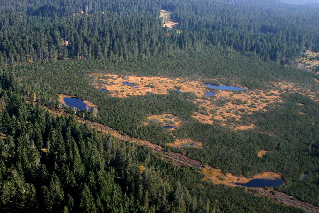
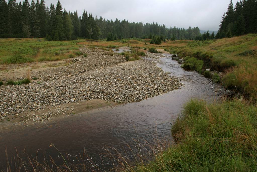
The peat bogs are the most valuable as well as most sensitive biotopes of the Bohemian Forest. Its mystery and old-time stories are indissolubly connected trough this unique world on edge of dry land and water. For the Bohemian Forest, as for the other Central European forested landscapes, peat lands or mires are relict ecosystems, being more typical for northern tundra and taiga. In the Bohemian Forest, the mire types range from the typical dome-shaped raised bogs that are fully dependant on the rainfall, to the forested or open fens fed mainly by the groundwater. Both types of bogs are often surrounded by waterlogged spruce forest or birch forest on peaty soils. They host rare orchids, such as lesser twayblade (Listera cordata) and coral-root orchid (Corallorhiza trifida). Non-forested sedge mires are usually smaller and can be either natural (located on springs) or secondary (developed as the results of deforestation and traditional land use). They are important for their high biodiversity (both plants and insects). The largest Central European complex of peat bogs and marshlands covering over 10,000 ha has been designated as the Ramsar site since 1990. About 70% of mires in the Bohemian Forest have been influenced by past drainage for variously forestry, agriculture and peat extraction. Since 1999, a comprehensive "Mire Restoration Programme" has been implemented in the Šumava National Park, primarily focused on the disturbed hydrology. Selected drained and intact mires are monitored with the aim: i) to characterise the degradation changes induced by the disturbed hydrology; and ii) to evaluate the success of restoration. Water-table fluctuations, hydrochemistry of groundwater, surface-water outflow, amount of precipitation and the vegetation on permanent plots have been monitored.
-
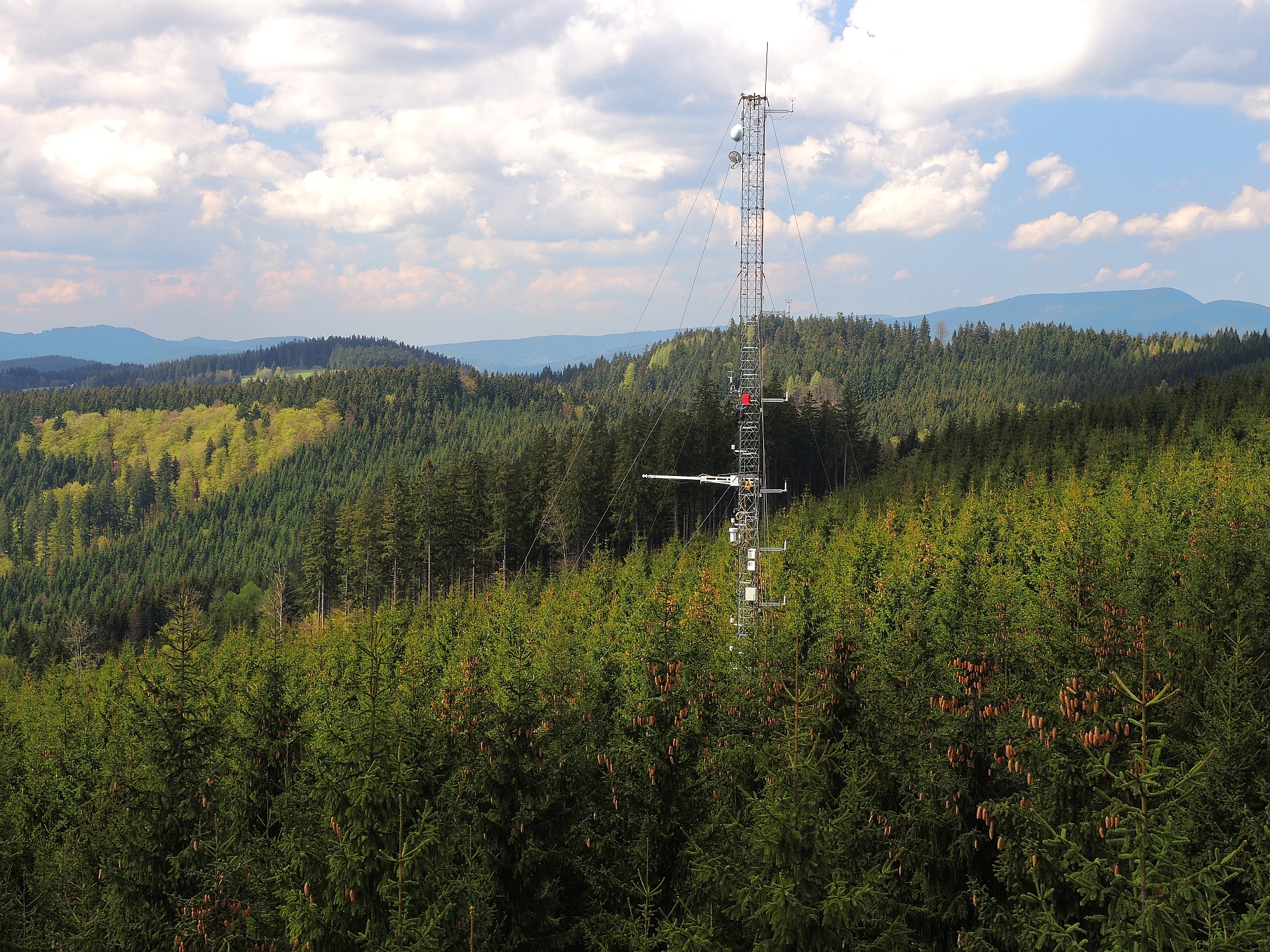
The catchment of the Modrý Potok stream belongs to the network of 14 small catchments (GEOMON), where effects of the changing environment (acidification, eutrophication, global change) on catchment biogeochemistry are studied. The catchment represents unique alpine ecosystem (alpine meadows with limited forest cover). Similarly to the rest of the Czech Republic, a marked decrease in acid deposition has been observed since the 1980s. The measured precipitation chemistry revealed the decrease in sulphur deposition by 80% and moderate decrease in nitrogen deposition (by 50%) since 1994. The decline in acid deposition was caused by reductions of SO2, NOx, and NH3 emissions from heavy industry and thermal power plants (desulphurization). Mountain ecosystem responses to these changes in precipitation acidity were immediate – among other parameters, stream water pH as well as acid neutralizing capacity have increased since 1994. Concurrently, nitrogen retention within the catchment has increased (see the plot below) suggesting that recovery of soil environment has started. These profound changes might have further positive impacts on terrestrial biodiversity.
-
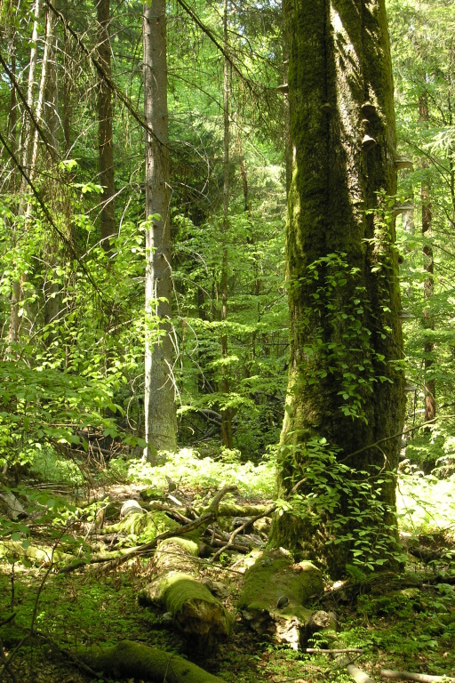
Nearly one hundred hectares of natural spruce-fir-beech forests have survived in the former Nové Hrady domain, owing to the enlightened owner count Buquoy, who founded here the Czech oldest natural forest reserves as early as in 1838. Similarly to the Bohemian Forest (Šumava in Czech), human colonization came to remote forests of the Novohradské Mts. as late as in the 15th century and, during the 18th century, abundant glassworks caused the most intensive pressure on the forests. For centuries, ship builders visited the utmost mountains’ corners to find tall and straight fir stems suitable for ship masts. Both Žofín and Hojná Voda were declared as reserves at the same time in 1838, yet timber had been taken from these sites even in the half of the 19th century. Both sites have been left to spontaneous development since the 1880s. Remarkable disturbance in the natural forests became in January 2007 when the hurricane Kyrill blew over. Substantial southern and south-western parts of the Žofín natural forest got down. Now we can study large-disturbance dynamics, the potential of bark beetle resistance in mixed forest, and many other unanswered questions.
-
LTER plot Thermophilous forests includes five regions and sixteen localities in Central Bohemia and Southern Moravia, where ecosystems of thermophilous forests, including adjacent natural treeless vegetation, have been studied for a long time. The monitoring is run jointly by the Institute of Botany of the Czech Academy of Sciences (coordination R. Hédl) and the Silva Tarouca Research Institute for Landscape and Ornamental Gardening (coordination D. Adam). The main focus is on the plant community, including trees and herbs, which are monitored by using sets of permanent plots, or as continuous forest stands. Data are collected at the level of individuals (plants), plant communities (species composition and biodiversity) and ecosystem (soil, canopy, microclimate and other variables). The backbone of the monitoring system consists of nearly 500 long-term monitoring plots. These are supplemented by several dozens of short-term monitoring plots, and historical plots resurveyed only once after several decades. The monitored forest stands share similar natural conditions and management history. They cover a wide range of thermophilous forest communities, mainly thermophilous oak-hornbeam forests, various types of oak and ravine forests, occasionally beech forests and the adjacent open habitats (rocky steppes). The dominant type of management was coppicing in most sites, mainly as coppices-with-standards. The historical management was abandoned during the 19th and early 20th centuries, and the monitored ecosystems were managed with a decreasing intensity in about the past half a century. Some of the localities or their parts are subject of non-intervention regime at present. This has affected the age of the forest stands, which has increased by several times. Today, many stands are 100+ years old. All monitored localities are parts of conservation areas, often multiple combinations - national nature reserves (NNR), national nature monuments (NNM), nature reserves (NR), national park (NP), protected landscape area (PLA), EU Site of Community Importance (SCI). The main strategy of the nature conservation is the management reduction at most sites. In several cases, however, restoration of the traditional ways of forest management has been introduced in the past years. The Thermophilous forests site consists of the following five areas and sixteen localities: 1. Křivoklátsko Protected Landscape Area Monitoring of the dynamics of tree communities (including 3D scanning), vegetation including the communities of vascular plants, fungi, saproxylic beetles and soil processes. Data are available from 1976, 1999, 2004 and annually since 2004 (localities Velká Pleš and Týřov), or since 1993 (locality Červený kříž) - Velká Pleš: 10 ha of continuous forest stand monitoring, 400 microplots (20 x 20 cm) and monitoring of game impact on rocky steppes (pleše = balds). - Týřov: 400 microplots (20 x 20 cm) in xerothermic treeless habitats and in enclosures. - Červený kříž: focus on the impact of game on the diversity of plant communities. 2. Český kras Protected Landscape Area Monitoring of the dynamics of plant communities, soil and tree overstory in five-year intervals, using a network of 190 permanent plots. Microclimatic measurements in part of the plots. Data from 2005, 2009, 2014, 2019. Focus on the tree dynamics at one locality (Doutnáč). Part of the area left for spontaneous development, part subject of the traditional management restoration. Additionally, 57 historical vegetation plots resurveyed after 50 years. - Karlštejn NNR: three localities Prostřední vrch, Vysoká stráň and Doutnáč; collective area 166 ha. - Koda NNR: three localities Tobolský vrch, Za lípou and Kodská stěna, collective area 95 ha. 3. Podyjí National Park Monitoring of the dynamics of several forest ecosystem components, focusing on natural processes and the restoration of traditional management forms. Continuously measured tree stands, yearly monitoring of plant communities, invertebrates, bryophytes, snails, fungi and soil variables by using a network of plots. Data available from 2010 and 2014-onwards. A network of 50 permanent plots with five-year monitoring interval was established in 2018. - Four localities in the eastern part of the national park: Lipina, Šobes, Popice and Hnanice, collective area 309 ha. 4. Pálava Protected Landscape Area Monitoring of the dynamics of plant communities, soil and tree overstory in five-year intervals, using a network of 160 monitoring plots. Microclimatic measurements in part of the plots. Monitoring of spider, beetle and ant communities in addition to that. Data available from 2008-onwards. Next to it, about 230 historical vegetation plots resurveyed after 50-60 years, and a detailed research on the management history. - Děvín NNR: 380 ha, 85 permanent plots and about 180 resurveyed historical plots. - Milovický les: 2051 ha, 75 permanent plots a 46 resurveyed historical plots. 5. Dúbrava Monitoring of the dynamics of plant communities, soil and tree overstory in five-year intervals, using a network of 75 monitoring plots. Data from 2011, 2012 and 2017. In addition to that, 56 historical vegetation plots resurveyed after 50 years, covering a larger area. Detailed research on the management history and a paleoecological research covering the entire Holocene. - Hodonínská Dúbrava: 4820 ha, 75 permanent plots and 56 resurveyed historical plots.
-
The site Bily Kriz (Bílý Kříž) is located in Moravian-Silesian Beskids Mountains. Ecosystem type: Managed secondary pure Norway spruce stand. Prevailing species: Norway spruce (Picea abies [L.] Karst.) Height of the stand: 17 m (2016) Understory: Vaccinium myrtillus L. Year of plantation: 1981 by 4 years old seedlings
-
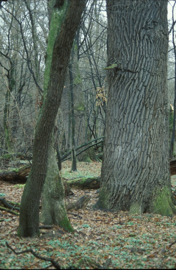
The central Europe’s largest complex of floodplain forest covers an area between the Morava River and Dyje River upstream their confluence. Permanent high water table and (more or less) periodical floods on either river have determined this phenomenon. As the Morava River was channelized and the Dyje River was dammed (the Nové Mlýny reservoirs), common floods have been replaced with the simulated flood regime right on the Dyje River. The LTER sites Ranšpurk and Cahnov–Soutok represent hardwood alluvial floodplain forest. European hornbeam, ash, and field maple have substituted formerly dominant species – pedunculate oak and smooth elm. As the oaks formed the grazed forest framework, their recent generation has spent the rest of their lives. Both sites have been left to spontaneous development since 1932. Because the plots, situated inside of a deer and fallow deer game-park, offered quiet spot for game stalls and natural regeneration became absolutely blocked, the reserves have been fenced.
-
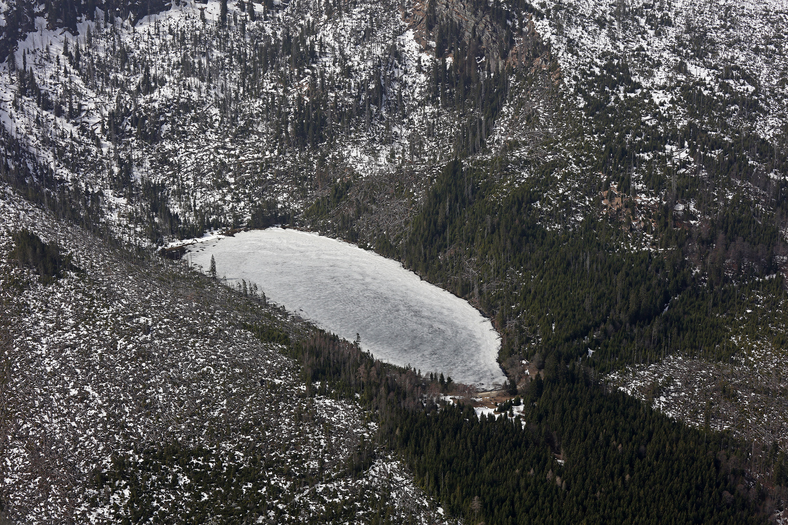
The Bohemian Forest in Central Europe is among the most acidified lake districts in the world. Deposition of sulphur and nitrogen compounds in the area rapidly increased between 1950 and 1980, and reached a maximum in mid the 1980s. Owing to long-term occasional hydrobiological research and palaeolimnological studies, we are able to document the significant changes in the lake water chemistry and biodiversity (in particular the conspicuous reduction in crustacean and/or insect species in some lakes, as well as the extinction of fish). During the 1990s, acidic deposition decreased substantially, and its current levels are comparable to the early 20th century for SO42– and NH4+, and to the mid 1960s for NO3–. The decline in acidic deposition has resulted in a partial recovery of the Bohemian Forest lakes, as well as in an improvement of the Norway spruce physiology in their catchments. Therefore, the Bohemian Forest lakes represent excellent LTER sites. Available historical data (biota since 1871) and regular monitoring (biota and chemistry since 1984) provide a valuable background for long-term ecological research of the catchment–lake ecosystems that currently focuses on (i) chemical reversal and biological recovery of the lakes, (ii) acidification effects on in-lake nutrient cycling, (iii) climatic effects on water chemistry, and (iv) catchment processes, including soil biogeochemistry and acidification impacts on vegetation (mountain spruce forests). Two of the lakes, the most acidified Čertovo Lake and the mesotrophic (phosphorus rich) Plešné Lake, have been selected for detail mass-budget studies since 1998. Hydrology, water and precipitation chemistry, soil and sediment biochemistry, litter composition, and climatic variables have been regularly monitored with the aim to evaluate cycling of nutrients (C, N, P, Si) and ecologically important metals (Al, Fe) within the catchment–lake ecosystems.
-
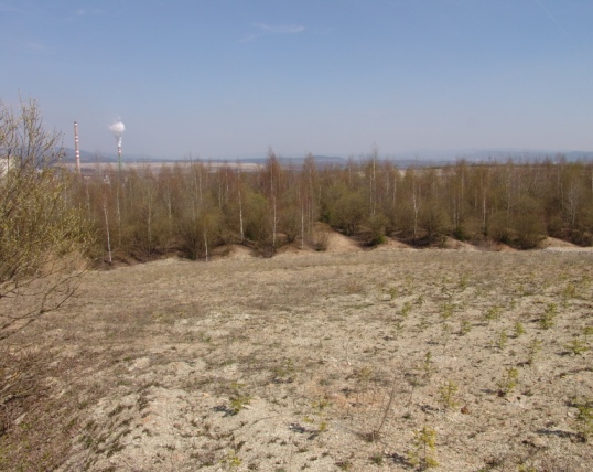
Sokolov post-mining ecosystems represent a unique LTER study area comprising forest and non-forest ecosystems developing after reclamation or by spontaneous revegetation on heaped overburden from brown coal mining. Several 1 ha sites are studied since 1992 (10 sites intensively and over 50 sites occasionally). Research has been focused on interactions between soil, plants and soil organisms and their role in soil formation and biogeochemical cycles restoration. Great attention has been paid to comparison of long-term development of reclaimed and non-reclaimed sites and to the effect of different tree species, types of substrates and heaping technique used during reclamation. Series of sites of known age (15–70 years) developing on similar substrate represent a great opportunity for ecological research using a chronosequence approach.
-
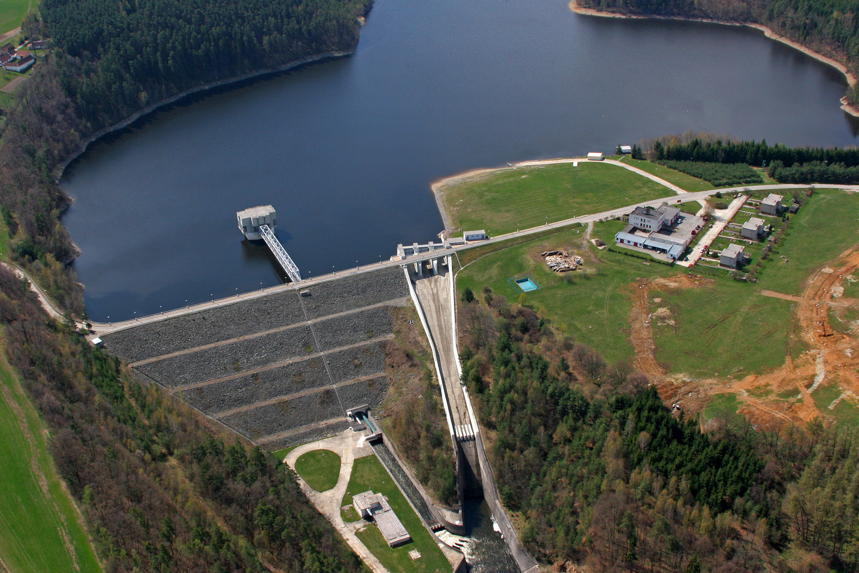
The Římov Reservoir was constructed in 1971–1978 at 21.85 km of the Malše River (tributary of the Vltava River), downstream its confluence with the Černá stream. The reservoir serves as an important drinking water supply for South Bohemia and helps to maintain a minimum flow downstream. The dam is 47 m high and 290 m long. Reservoir volume is 34.3×10⁶ m3, the catchment area is 489 km2.Mean annual flow is 4,3 m3 s-1 and mean theoretical water retention time 92 days. The Římov Reservoir is a canyon-shaped impoundment with steep banks, the „tower“ for drinking water input is at 5 m distance from the dam. Being a drinking water source, Římov Reservoir is protected and no other uses are allowed. Regular investigations of the Římov reservoir in its lacustrine part started in 1979 and have continued at three-week intrevals up to now. Since 1997, the Římov reservoir has been a part of the Czech LTER network. The parameters studied include physical, chemical and biological data on pelagic organisms like bacteria, protists, phytoplankton and zooplankton. Once per year, the abundance and species composition of fish is investigated. Besides regular monitoring, a lot of extensive studies were done of pelagic organisms, their diversity, interactions and functions as well as chemical processes in water and sediment, both in the lacustrine part and in the canyon-shaped riverine part near the inflow. Such intense studies were possible due to the vicinity of well equipped labs in České Budějovice and the construction of a field station at the dam (in 1994).