
ELKH Centre for Ecological Research
Type of resources
Available actions
Topics
Keywords
Contact for the resource
Provided by
Years
Formats
Representation types
-
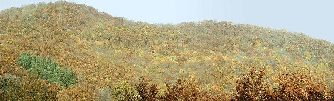
Central Europe maintains a considerable diversity of dry-mesic oak forests as the main representatives of zonal forest vegetation types in Hungary, covering the major part of foothills of the middle-range mountain, Inner Western Carpathians. The 669 m high, Triassic limestone hill called ‘Vár-hegy’ belongs to the Bükk Mountains. The annual mean temperature is about 8◦C and the annual precipitation is about 650 mm. The core area of the reserve (94 ha) is covered mainly by close-to-nature. long untouched oak dominated forests stands: Pannonic woods with Quercus petraea and Carpinus betulus; Pannonian-Balkanic Turkey oak-sessile oak forests; Pannonian woods with Quercus pubescens. It has been set aside for preservation in 1991, though several previous conservation acts had already secured almost spontaneous natural development of the stands. Most of the area was cut around 1880, however, several over-mature trees were retained. The intensive use in the previous centuries and during the world wars left a sessile oak dominated, 120-130-year-old, mostly coppice forest. The abandonment and the precedent severe oak decline contributed to generate a more diverse forest composition and structure developing towards a mixed forest with pronounced ‘old-growth’ characteristics.
-
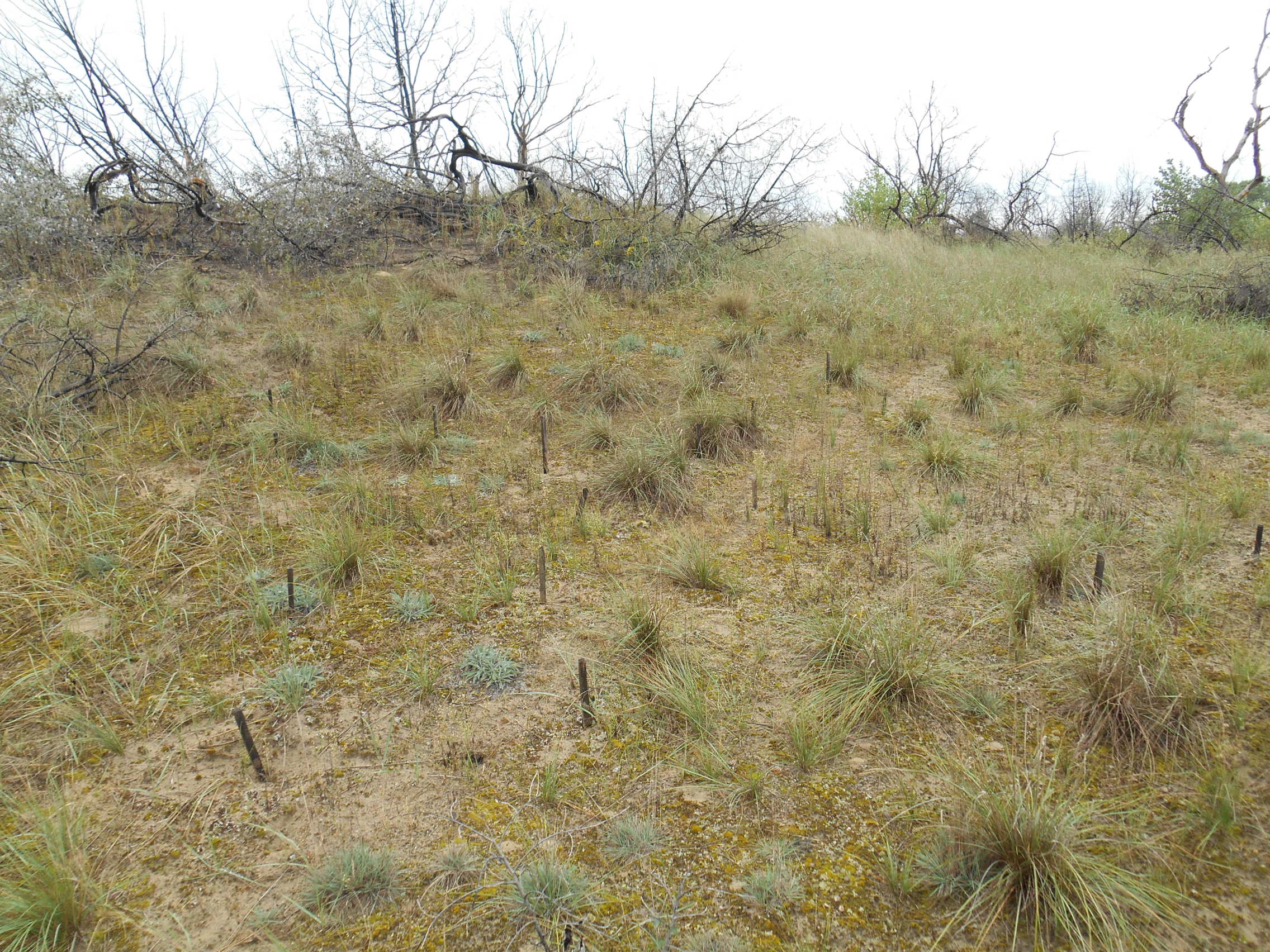
3 sites with 10 ha altogether; follow the long-term changes on sand steppe gaps of juniper-poplar forest in order to study the effect of fire
-
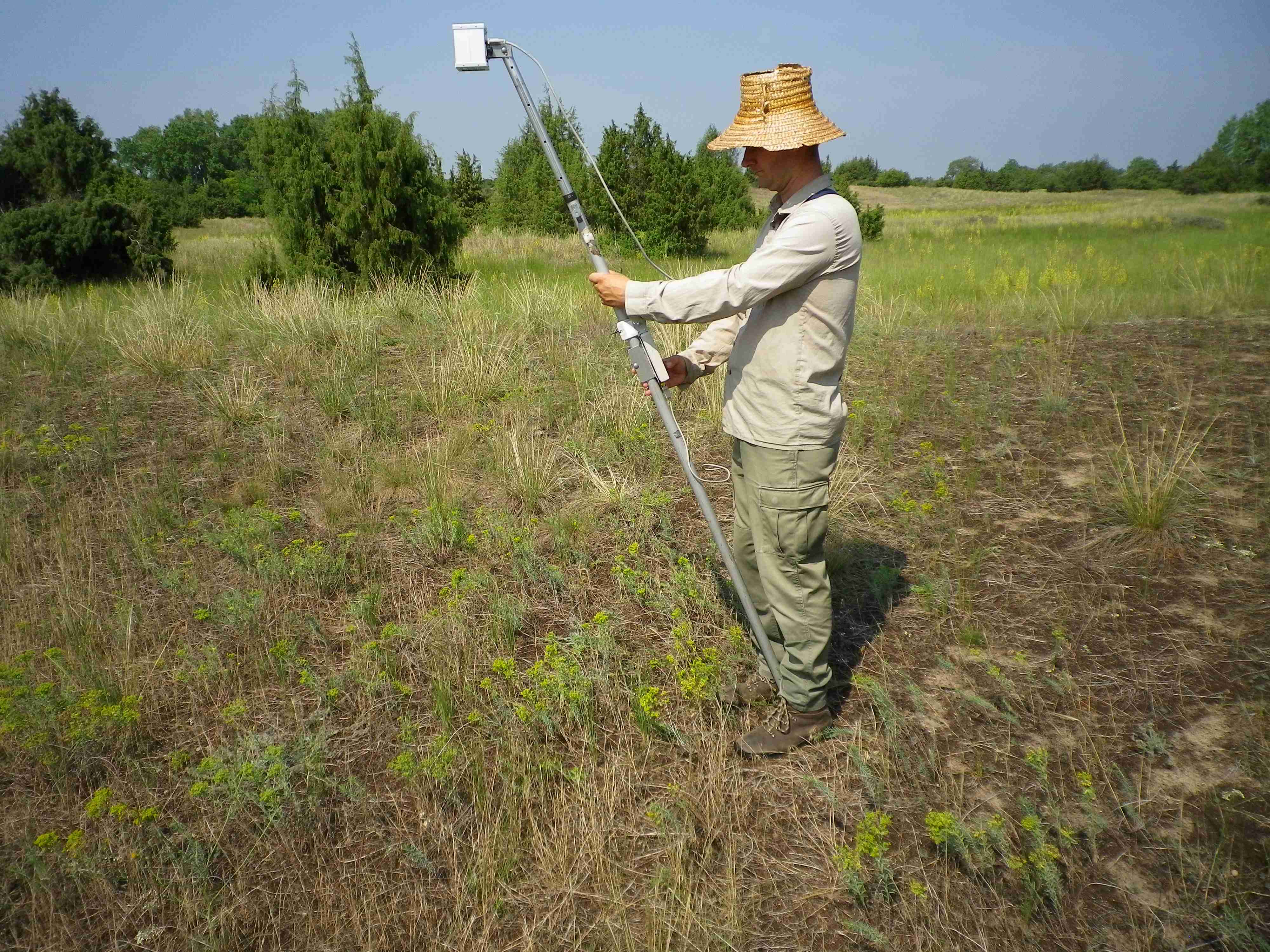
Network of 16 sites for the examination of land use effect on biodiversity
-
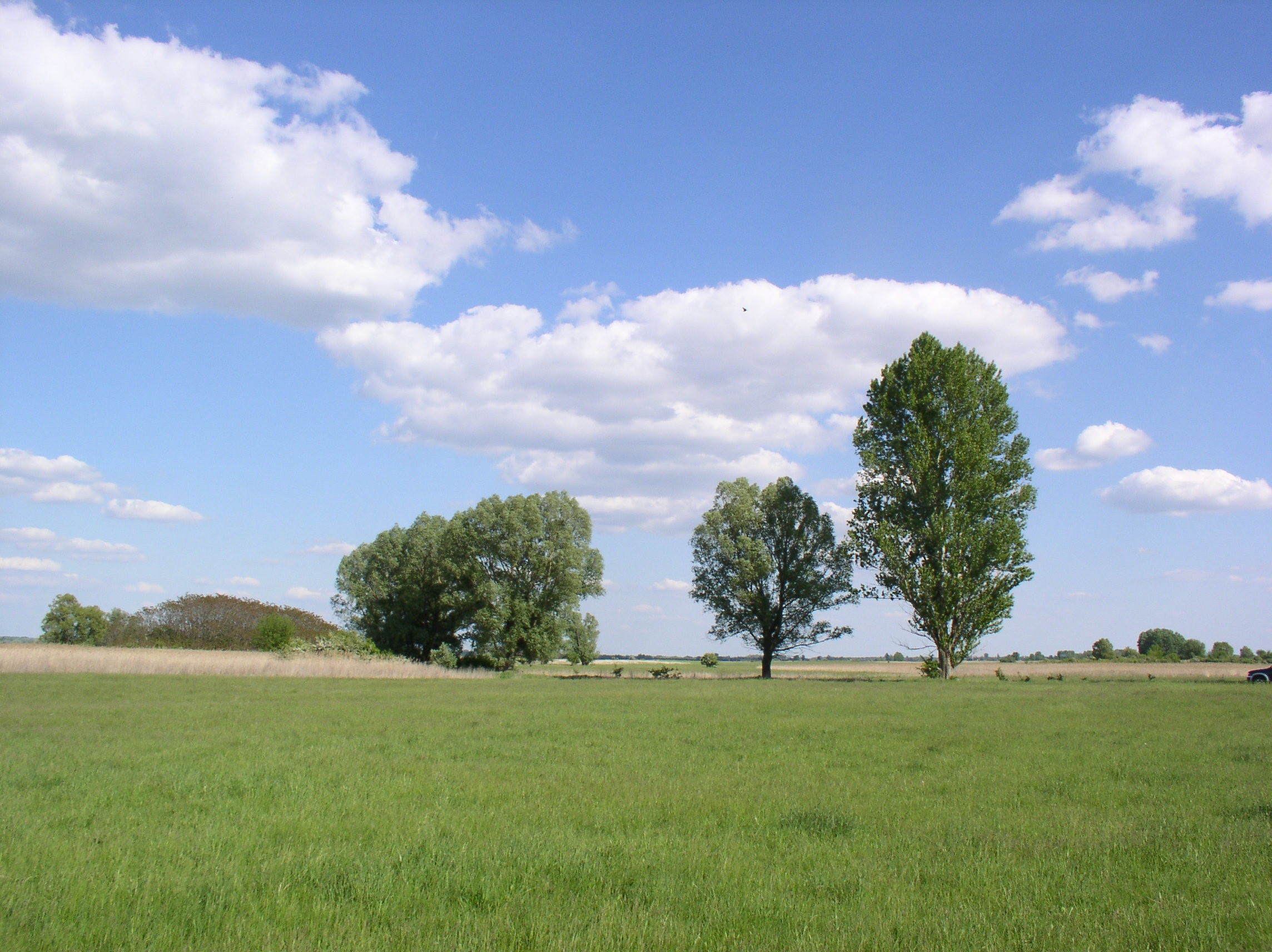
Orgovany-Agasegyhaza site for studying production-diversity relations and weather effect of productivity.
-
KISKUN LTER was established in 1995, together with the Hungarian LTER Network. Its study area is the Kiskunság Sand Ridge and its periphery, 14000 km2 altogether, 17% of the area of Hungary. The primarily sandy area is extremely heterogeneous. It consists of arable lands, planted forests, meadows, abandoned fields, settlements, alkaline lakes, wetlands, and species rich remnants of forest steppe. It is also very varying in time: ploughing and setting aside, extensive plantation of alien trees, drainage, wild fires, biological invasions, and fast demographic movements have been happening in the last 100 years, and beyond all those, the area is particularly sensitive to the climate change.
-
The restoration sites are located in abandoned arable land and clear-cut tree plantations mostly, but not entirely within LTER Fulophaza that is a high diversity site, both in terms of habitats and species, in the Kiskunság Sand Ridge. It uses some of the central facilities of the KISKUN LTER, such as the meteorological station and the field research station with accommodation opportunities, and a couple of long term monitoring sites and field experiments.
-
The area was used as small-scale ploughland and vineyards between app. 1900 and 1960. From 1960 it was gradually abandoned and became a part of the Kiskunsag National Park. We distinguished 4 age-groups of old-fields according to the time of the abandonment: 1–6, 7–11, 12–25 és 26–35 years old abandoned fields in year 2000. In every age-group 10–10 (total 40) 4 m × 4 m large permanent vegetation survey plot were established. We made vegetation survey (presence and cover of every vascular plant species) in the year 2000, 2008, 2010, 2015, 2017 and 2020.
-
The aim of the dataset is studying the effect of land-use on the plant species richness of different dry habitats. The field site network consists of 16 sites, of 5 km 5 km each, representing all major land-use/land cover types characteristic to the region (agricultural land, abandoned agricultural land, tree plantation, semi-natural grassland, and forest) in varying proportions. The first survey was made between 2006-2008, the second between 2019- 2021.
-
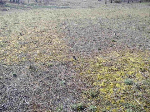
The aim of the dataset is to monitor the changes of the vegetation of a selected dry grassland area. There are no grassland management, neither grasig nor mowing. We follow the changes of plant species composition in 200 4m x 4m large semi-permanent plots from 2000. There were survey in the years 2000, 2002, 2004, 2006, 2010, 2015 and 2021.