
Ecology, Monitoring and Sustainable Use of Wetlands (MAUA)
Type of resources
Available actions
Topics
Keywords
Contact for the resource
Provided by
Years
Formats
Representation types
-
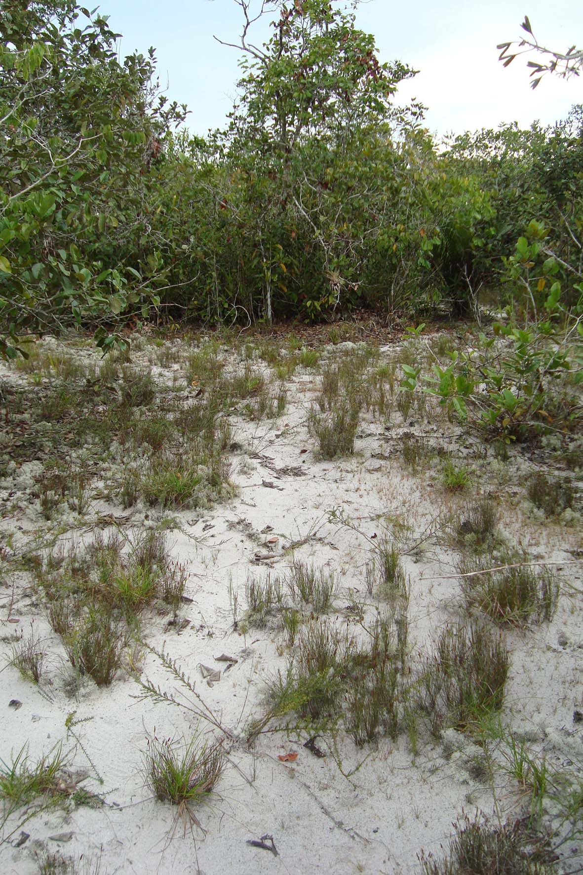
USDR extends over 4.244 km2, and is located 150 km NE of the city of Manaus, at approximately -02º10’ and -59º00’. It includes upland forest (terra firme), white-sand forest (campinarana) and black-water inundation forest (igapó) along the Uatumã River and smaller tributaries. The campinarana forest under study is composed of small trees and shrubs that undergo episodically inundations through upwelling groundwater during the rainy seasons. It is relatively poor in species in comparison to surrounding upland forest, but contains elevated numbers of endemic tree species. The study of hydrology, soils and the monitoring of tree growth, mortality, and regeneration are the main goals of our project to understand how climate seasonality and climate change affect abiotic factors, biomass, net primary production, species populations, and biodiversity.