
Foundation for Research Support of the State Alagoas (FAPEAL)
Type of resources
Available actions
Topics
Keywords
Contact for the resource
Provided by
Years
Formats
Representation types
-
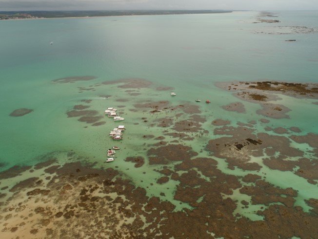
The Marine Protected Area Costa dos Corais (APACC) created in 1997 is the largest marine/coastal protected area (MPA) in Brazilian coast. The APACC cover about 400,000 ha area including natural systems as coral reefs, estuaries, mangroves, seagrass banks, sand beaches and Atlantic forest as well as traditional fishing and tourism activities.
-
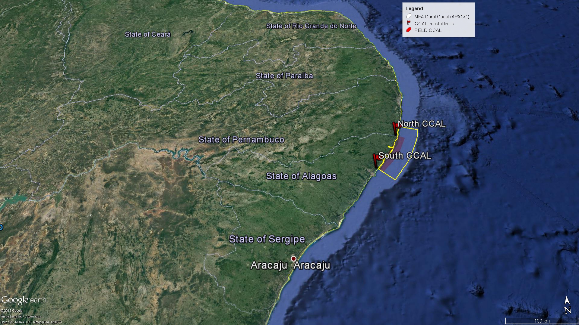
The Site comprises the Coastal Alagoas State portion of the Marine Protected Area Coral Coast (APACC), starting at the mouth of the Meirin River (Maceió, geographical coordinates: 9 ° 32'51 "S and 35 ° 36'59" W), following the preamar meanline, in the general northeasterly direction, bypassing and including the mangroves in all their extension to the left margin of the Persinunga River, on the border between Alagoas and Pernambuco States, geographical coordinates: 8 ° 54'49.04 "S and 35 ° 9'10.13" W, and advancing towards the direction of the Atlantic Ocean to the limit of the 10m isobath, according to the bathymetric chart of the Brazilian Navy. In this section, we can find significant samples of the main ecosystemic features present in APACC: estuaries, beach formations, marine angiosperm meadows, coralline reefs, and beach rocks.