
Institut de Recherche pour le Développement (IRD)
Type of resources
Available actions
Topics
Keywords
Contact for the resource
Provided by
Years
Formats
Representation types
-
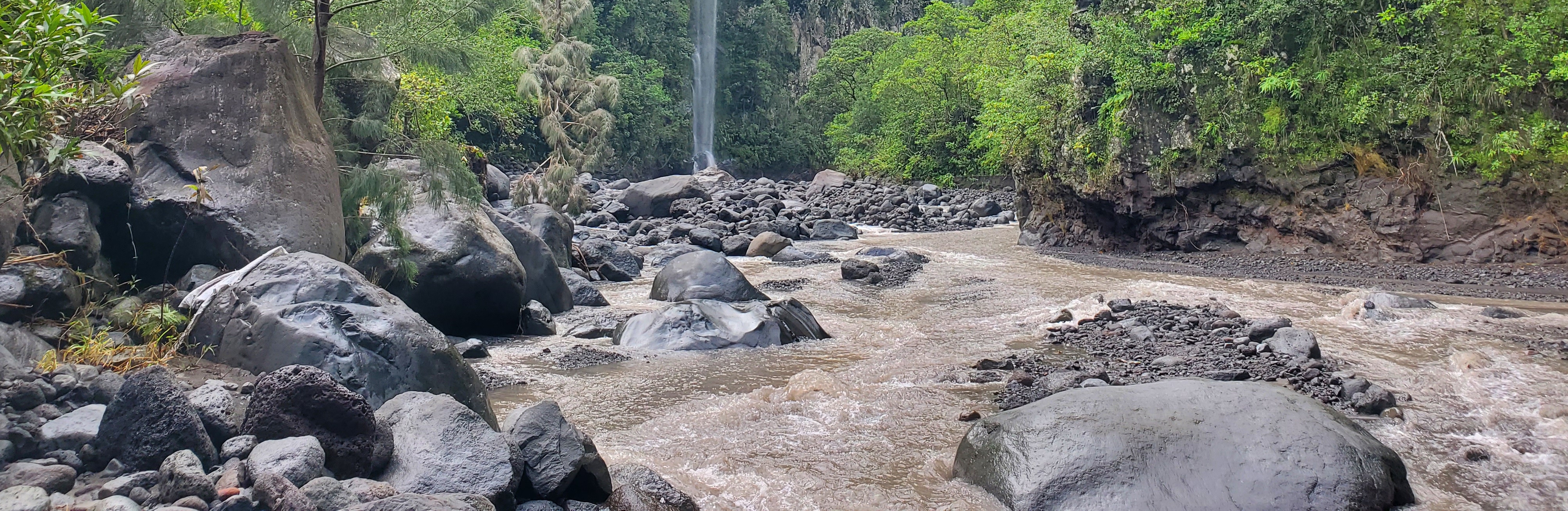
The Bassin de la Rivière des Pluies is located on Réunion Island (French Overseas, Indian Ocean). This volcanic island results from the emission of basaltic products from the Réunion hotspot that initiated 65 Myrs ago with the development of the Deccan traps. Rivière des Pluies drains a watershed of 46 km2 located on the windward side of the dormant Piton des Neiges volcano, from 2276 msl to the sea shore. The Rivière des Pluies catchment is mainly composed of lava flows and breccias aged from 1.4 Ma to 200 ky. The overall watershed is made of a main canyon deeply incised in the volcano flank and a large planeze covered by the deposits of the last explosive eruptions of Piton des Neiges. The combined action of the vegetation and alteration along a strong altimetric gradient produced a wide range of soils typically ranging from 0.5 to 6 meters. Vegetation is dominated by tropical rainforest. The hydrologic regime is torrential: flow rate is characterized by abrupt variations due to tropical rains. Storms and cyclones only occur during the rainy season from december to april.
-

Mare Longue Forest is located in the South East of the island of La Réunion (French overseas, Indian Ocean) on the municipality of Saint-Philippe. It is the last remnant of lowland tropical rainforest for the Mascarene archipelago, located on a 364 year-old lava flow. The climate is warm (annual mean temperature ranges from 19 to 25 °C) and humid ( in summer reaching 90 to 95 % of relative humidity), precipitation varying between 408 mm at 130 m a.s.l to 18 000 mm at 1600 m a.s.l. Since 1958, a biological reserve of 21 ha has been established, which was then extended into a natural reserve in 1981, it is now since 2007 under the protection of the National Park of Réunion. The site is composed of a variety of forest habitats, from a primary forest with high diversity in woody plants (more than 50 species of indigenous and endemic species) and epiphytes with a 20 m canopy height, to planted forests of monospecific indigenous species, plantations of vanilla in forest, coastal vegetation. The forest of Mare Longue, in the only corridor land to sea on the island between 0 to 2600 m, with uninterrupted vegetation and where the impact of human is recent (from 1665). In the native forest 3 ha permanent plots have been monitored (MALO1 since 1990, MALO2 since 1999 and MALO3 since 2003) where all trees (> 50 000) are inventoried, tagged and measured for their diameters. A climatic station in the native forest at 250 m has been operating since 2011. In the closest town, the Research forest station of Mare Longue is welcoming researchers and students for their scientific stay on the island with all needed facilities.
-
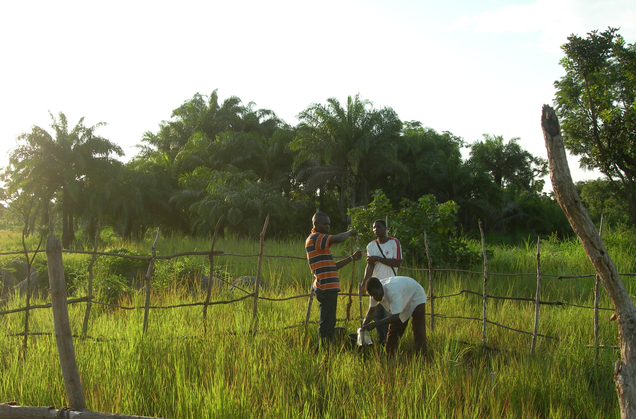
The Oueme mesoscale site (Benin) is part of the AMMA-CATCH observation network. Its characteristics are as follows a 14000 km² basin in sudanian climate on a crystaline basement. The studies focus on the hydrological cycle, the water budget and the hydrological processes.
-
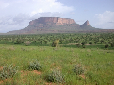
The Gourma mesoscale site (Mali) is part of the AMMA-CATCH observation network. Its characteristics are as follows :a 30000 km² endoreic area in semi arid climate. The studies are dedicated to vegetation monitoring in a pastoral environment.
-
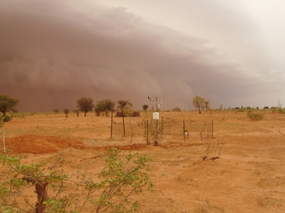
The Niamey Square Degree mesoscale site (Niger) is part of the AMMA-CATCH observation network. Its characteristics are as follows :a 10000 km² endoreic area in sahelian climate. The studies focus on the hydrology of endoric basins and on rainfall/vegetation interactions.