
LTER Serbia
Type of resources
Available actions
Topics
Keywords
Contact for the resource
Provided by
Years
Formats
Representation types
-
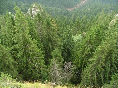
Kopaonik is the largest and the longest mountain range in Serbia located in its central part. It is proclaimed a national park in 1981. The observatory site in Kopaonik is located in strictly protected spruce forest, on the lower distribution of spruce zone on the border zone with beach forest. The mountain is characterized by alternating climate conditions; from warmer sub-mediterranean climate in the lowest part of the mountain to cold subalpine climate in high elevation areas. Vertical profile of the mountain with different climate zones and geological diversity resulted in high habitat diversity. The largest part of the area is covered by climatologically adapted mixed deciduous and coniferous forest having obvious zonal transition. A large number of endemic and relict plant species makes Kopaonik one of the most significant biodiversity centers in Serbia. Main threats to the area besides soil erosion present logging, deforestation and tourism.
-
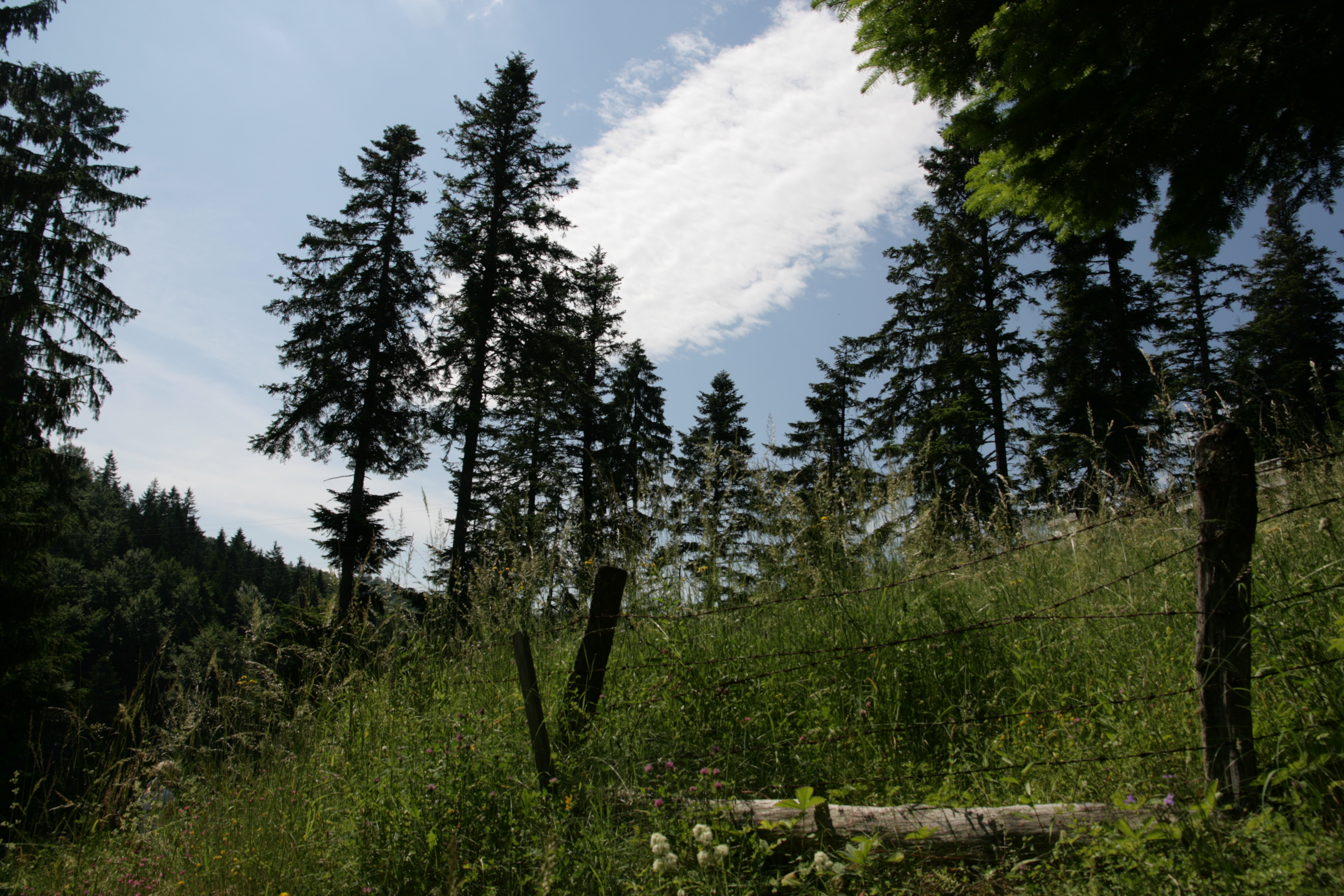
Tara mountain is a part of Dinaric Alps with an average height of 1200 m above sea level and is a typical forested area located in western Serbia. Its forests are among the best preserved and most productive forests in Europe and represent the greatest natural value of Tara. The area has a temperate continental climate with subalpine influences. High humidity is caused by currents from the Drina canyon and daily mist. More than 75% of the area is covered with mixed forest of beech, fir and spruce. Tara is a well known refugium for many relict and endemic plant species among which the most valuable and recognizable is the endemic and relict Serbia spruce, Picea omorica (Pancic) Purkyně with very limited range to about only 60 ha.
-
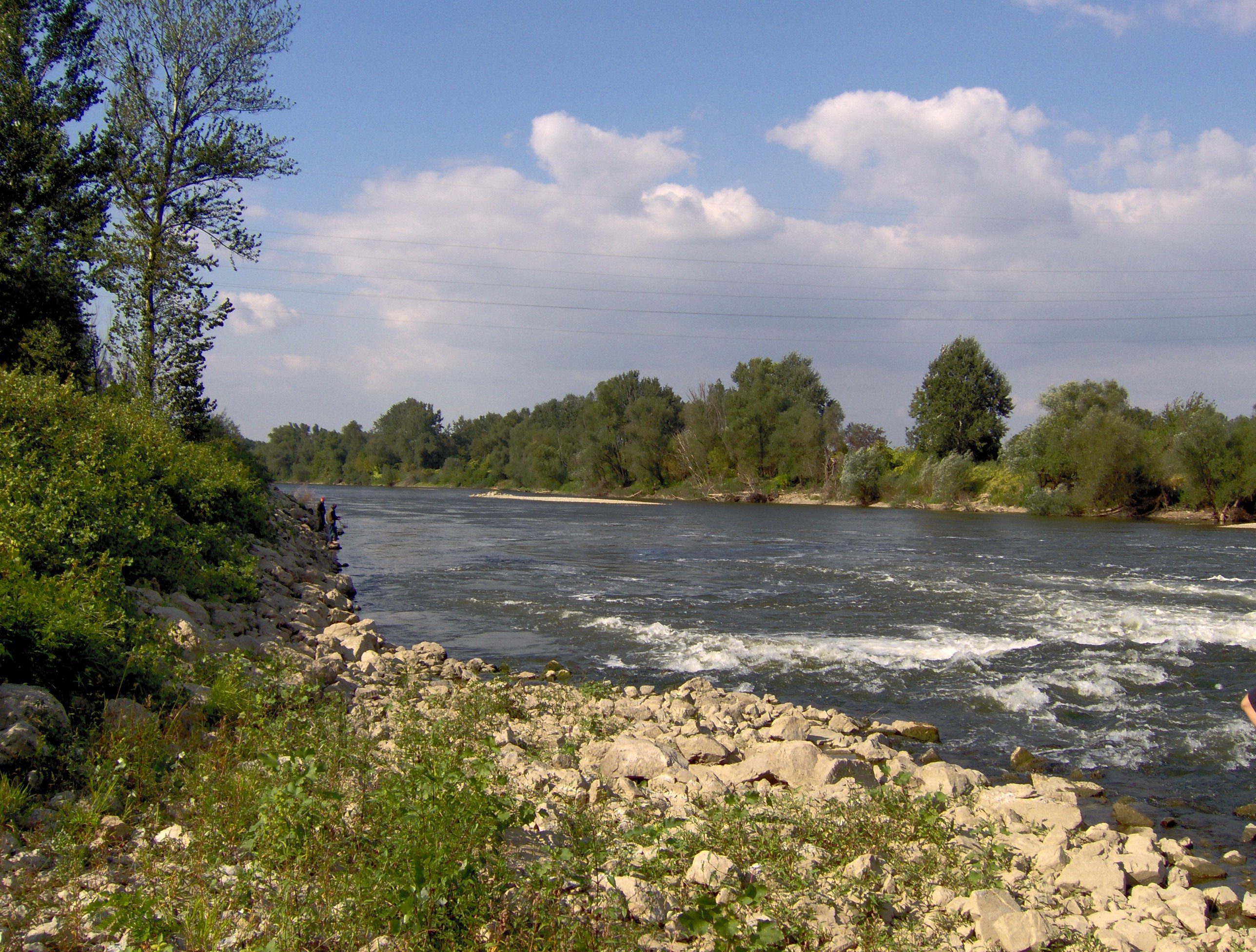
Velika Morava is 175 km long river originating from Western and Southern Morava Rivers. The whole catchment area (including Western and Southern Morava) is about 38.000 km², while the basin area of Velika Morava is 6.760 km². The mean annual flow is 245 m³ s-1 (gauge station Ljubicevo, near to the mouth of the Danube - Annual Water Quality Reports 1999-2008). Based on the size of catchments area and its flow, Velika Morava is one of the major tributaries of the Danube. Over 95% of the basin is located at the territory of the Republic Serbia. The water regime is unimodal, characterized by the prominent seasonal fluctuations. In the spring the river can be almost torrential (the mean flow near to the mouth 560 m³/s), while in the rest of the year there is a "low water" period, particularly in the autumn, when mean flow does not exceed 100 m³/s. The riverbed is 80-200 m wide, and up to 10 m deep, although average depth usually does not exceed 2 m. The silicates are the dominant geological substrate in entire catchment area. According to the main geographical features the river could be divided into two main parts. The lower one, from confluence with Dunav to the Resava River mouth (near Svilajnac), is 85 km long typical lowland watercourse (altitude lower the 100 m), with 0.35 ‰ declination, and with sand and mud/silt as dominant fractions of the riverbed. This part of the Velika Morava River belongs to Ecoregion 11 (ER11_Ser). The upper one, from the Resava river mouth to Stalac (the confluence of Southern and Western Morava Rivers), is 90 km long. The mean altitude is over 100 m a.s.l. (to 135 m), declination is 0.44 ‰ and in the riverbed the dominant part are sand and gravel fractions. Upper part belongs to Ecoregion 5 (ER5_Ser). Velika Morava river basin has four permanent monitoring sites. The area is densely populated and the river is under the influence of various pollution sources (organic, agricultural, industrial), as well as hydromorphological pressures (meander cutting, shortening, channeling, as well as gravel and send extraction).
-
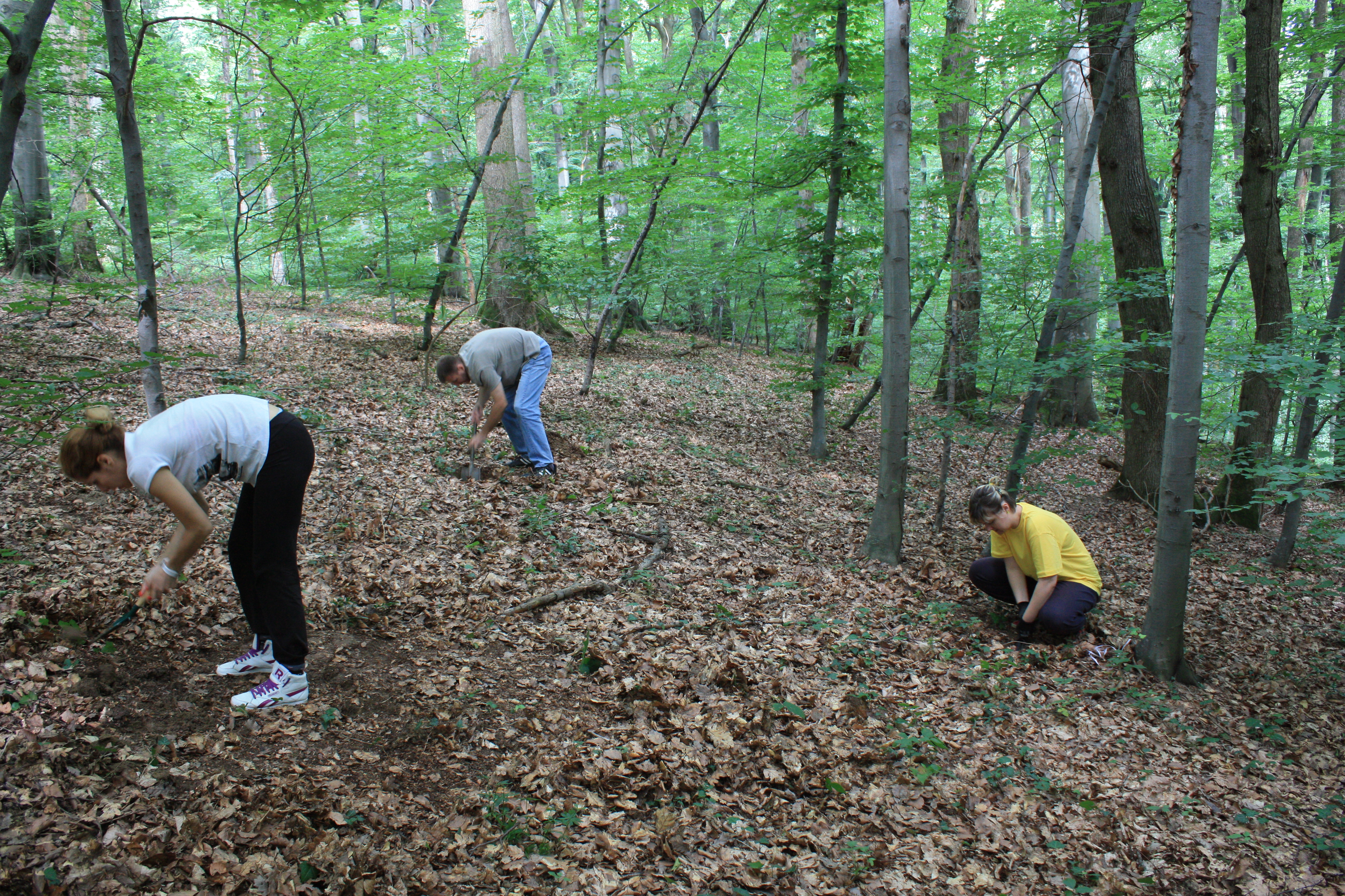
LTER site Fruška gora is located on Fruska gora mountain, an isolated island mountain in Pannonia plain, completely surrounded by lowland. Its highest peak Crveni cot has 549m. Its location, specific geological history and different microclimatic conditions (from lowland semiarid climate to the relatively cold and humid submontane climate) are of great interest to researchers. Thanks to unique and very rich deposits of fossil fauna and flora, Fruška gora is called the 'mirror of geological past'. More than 90% of the area is covered by deciduous forests with varied types of climatogenous forest communities that have been under constant and increasing pressure from surrounding urban areas, building, traffic, agriculture and economic use. The dominant forests are mesophillous mixed forests of sessile oak (Qeuercus petraea) and European hornbeam (Carpinus betulus), orographically conditioned beech forests, as well as thermophilous forests of Turkey oak (Quercus cerris), pubescent oak (Quercus pubescens) and (Quercus frainetto). Fruska gora counts around 1500 of plant species which is more than 1/3 of the total Serbian flora.