
Long-Term Ecosystem Research in Europe
Type of resources
Available actions
Topics
Keywords
Contact for the resource
Provided by
Years
Formats
Representation types
-
This site is part of the BFW project "Klimaforschungswald". The aim of this research project is to evaluate which tree species will fullfil the important tasks and functions of the forest ecosystem in the future. Furthermore, temperature and precipitation fluctuations in particular are to be documented in order to be able to map a possible trend and the influence of the growing vegetation. A total of 13 different deciduous tree species were planted in the “Klosterwald” area. In the middle of the area, a classic oak-hornbeam row afforestation was planted.
-
Bird census survey (abundance and diversity)
-
Ubicada al final de la cuenca del Río Actopan (ladera oriente del Cofre de Perote con fragmentos de bosque mesófilo de montaña, agroecosistemas y poblados), La Mancha es el último refugio de selva mediana subcaducifolia en la vertiente del Golfo. Contiene otros importantes ecosistemas costeros (manglar, dunas, selva baja, arrecifes, laguna costera), y es sitio de paso y descanso de aves migratorias. Presenta alta biodiversidad y una dinámica ecosistémica compleja. Es la zona costera del Golfo de México más estudiada en el país. Sitio RAMSAR desde 2005. Se localizan los últimos relictos de selva desarrollada sobre suelos arenosos y es ruta de aves migratorias rapaces mas importante a nivel mundial.
-
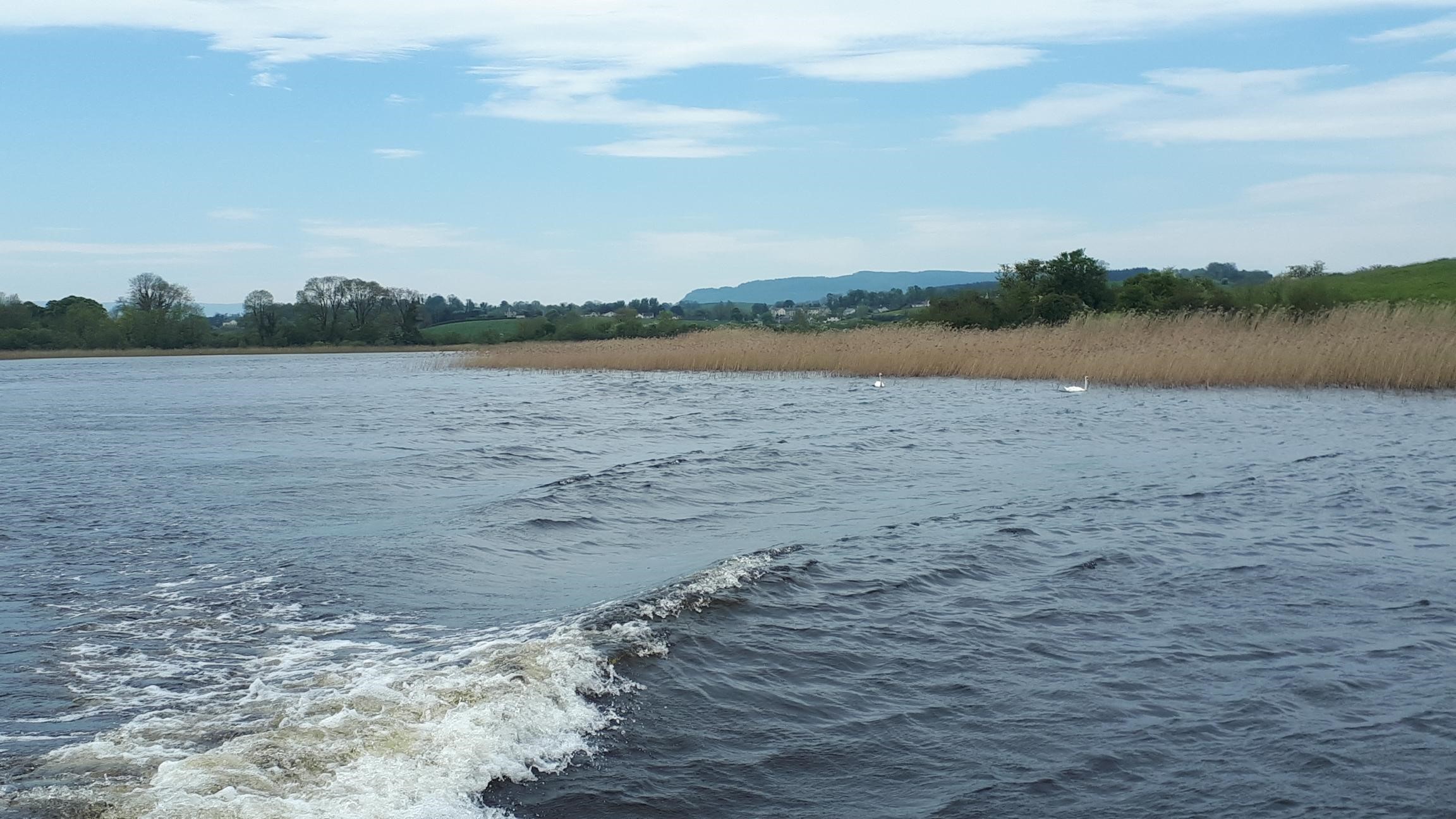
UK ECN site. The shallower regions of Lower Lough Erne (109.5 km2), present an example of a flooded drumlin landscape which has created an intricate mosaic of land and water. As a consequence of differences in depth and area, the water retention time of the Lower Lough is four months. The phytoplankton abundance in the deep open water of the Lower Lough is more typical of a mesotrophic water body despite comparatively high phosphorus concentrations (58 mg P l-1, 2017). The paucity of phytoplankton in this region is attributed to a high back-ground light attenuation from the peat-stained water and the greater depth of the mixed water zone (>35 m). The lake supports a fish population dominated by the introduced roach, as well as pike, perch, bream, trout and pollan. The Zebra Mussel is a relatively recent introduction (1996) which has impacted significantly on the lake ecology. Water monitoring is undertaken at the deepest portion of Lower Lough Erne.
-
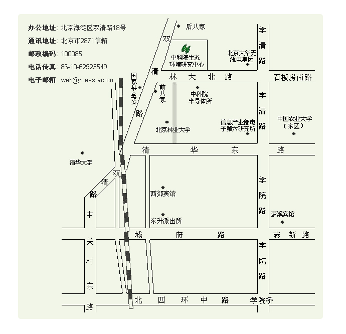
Beijing Urban Ecosystem Research Station is located in Beijing. Urban ecosystem is a complex social-economic-ecological system dominated by human beings. Urban ecological elements, including climate, atmosphere, hydrology, soil, organisms, etc, and ecological process such as material flow, energy flow, etc, are products of interaction between human activity and natural environment. These will evolve with variation of the human-nature relation as well. Beijing is the center of policy, economy, culture, science and technology in China and it is also an international metropolis. Beijing covers 16,400 km2 (built area is 1204 km2) with population of more than 15, 810,000 in 2006. Beijing urban ecosystem research station was based on State Key Laboratory of Urban and regional Ecology, Research Center for Eco-Environmental Sciences, Chinese Academy of Sciences and started constructing in 2001, consisting of monitoring net, indoor specimen analysis and conservation room, information data management and analysis room and official documentation room. Up till now, laboratories concerning air, water, soil and microorganism have been set up engaging in research of Beijing urban ecosystem’s structure, typical process and function.
-
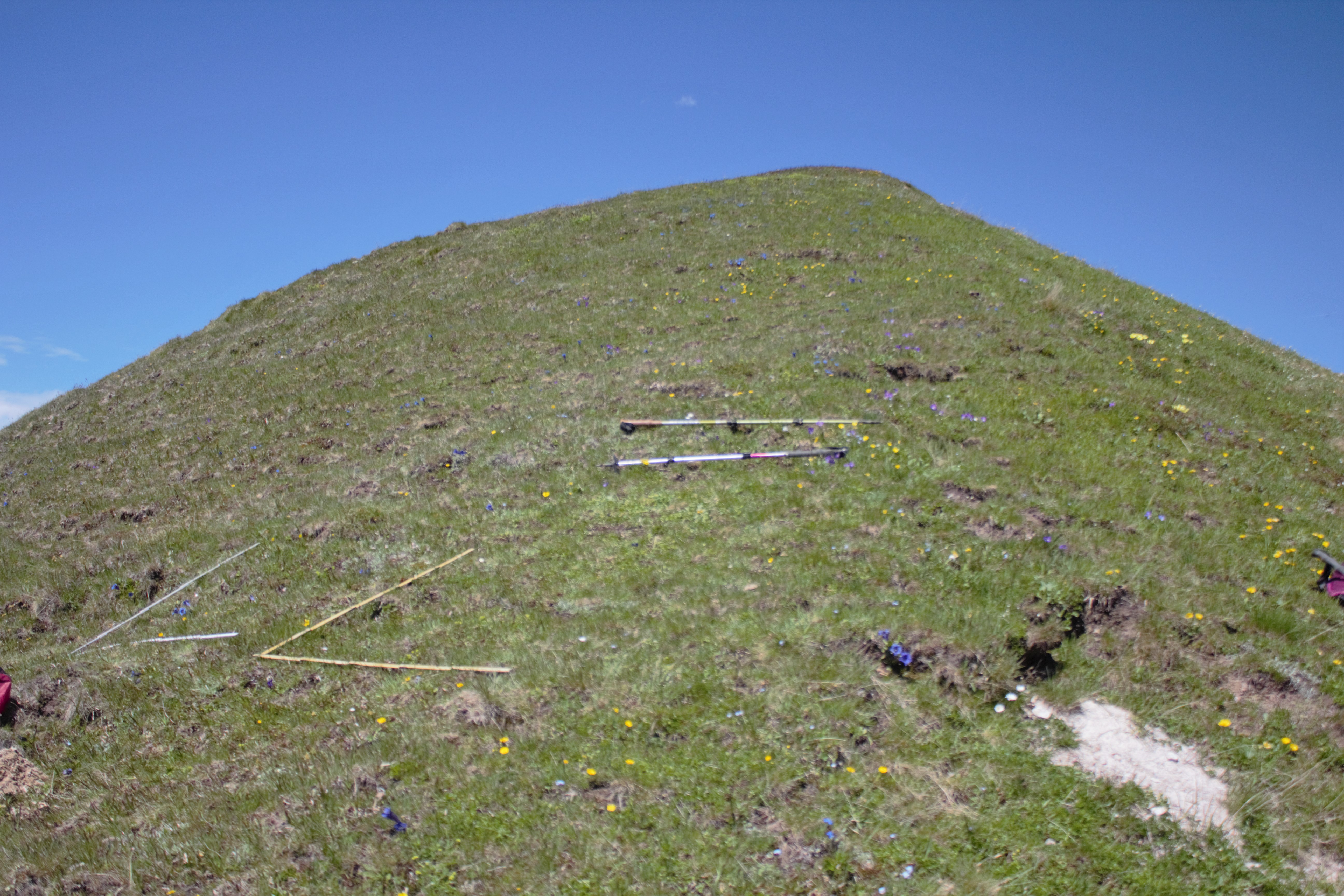
second lowest summit of GLORIA target region SN2 in the area of the Swiss National Park on silicious rock
-
The Sesc Baía das Pedras Park is one of the units of the Sesc Pantanal Ecological Resort and is located in the municipality of Poconé, in the immediate vicinity of the Hotel Sesc Porto Cercado. It covers an area of 4,200 hectares
-
This is one of the most vast and important wetland in the western Mediterranean. It also holds one of the most important fishing grounds for fisheries. It has international importance for the flora, especially halophilous and aquatic communities including a large number of rare and threatened species. Several endemic and threatened fish species can be found here. Particularly important is the waterbird community reaching 56000 breeding pairs of several species and more than 200000 individuals wintering here, including species coming from northern Europe. Among the breeding species, the site holds more than 60% of total world population of the Audouin's gull, a threatened endemic seabird of the Mediterranean region.
-
Here we describe the characteristics of an observation plot within Mediterranean Forests LTER Italy site. The name of the plot is SIC1 Ficuzza. It belongs to the Italian branch of the ICP Forests Network (CONECOFOR) but it is managed by the Sicily Agency
-
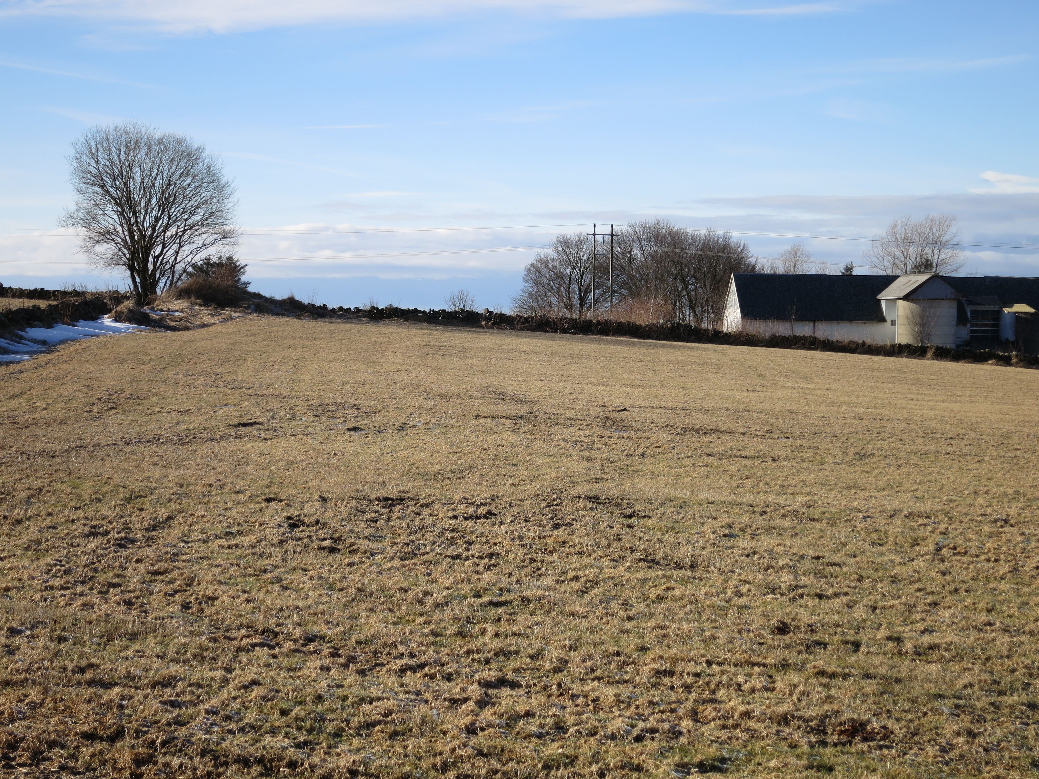
grass dominated catchment located at the south-western coast of Norway, monitored by The Norwegian Agricultural Environmental Monitoring Programme (JOVA)