
National Research Institute for Agriculture, Food and Environment (INRAE)
Type of resources
Available actions
Topics
Keywords
Contact for the resource
Provided by
Years
Formats
Representation types
-
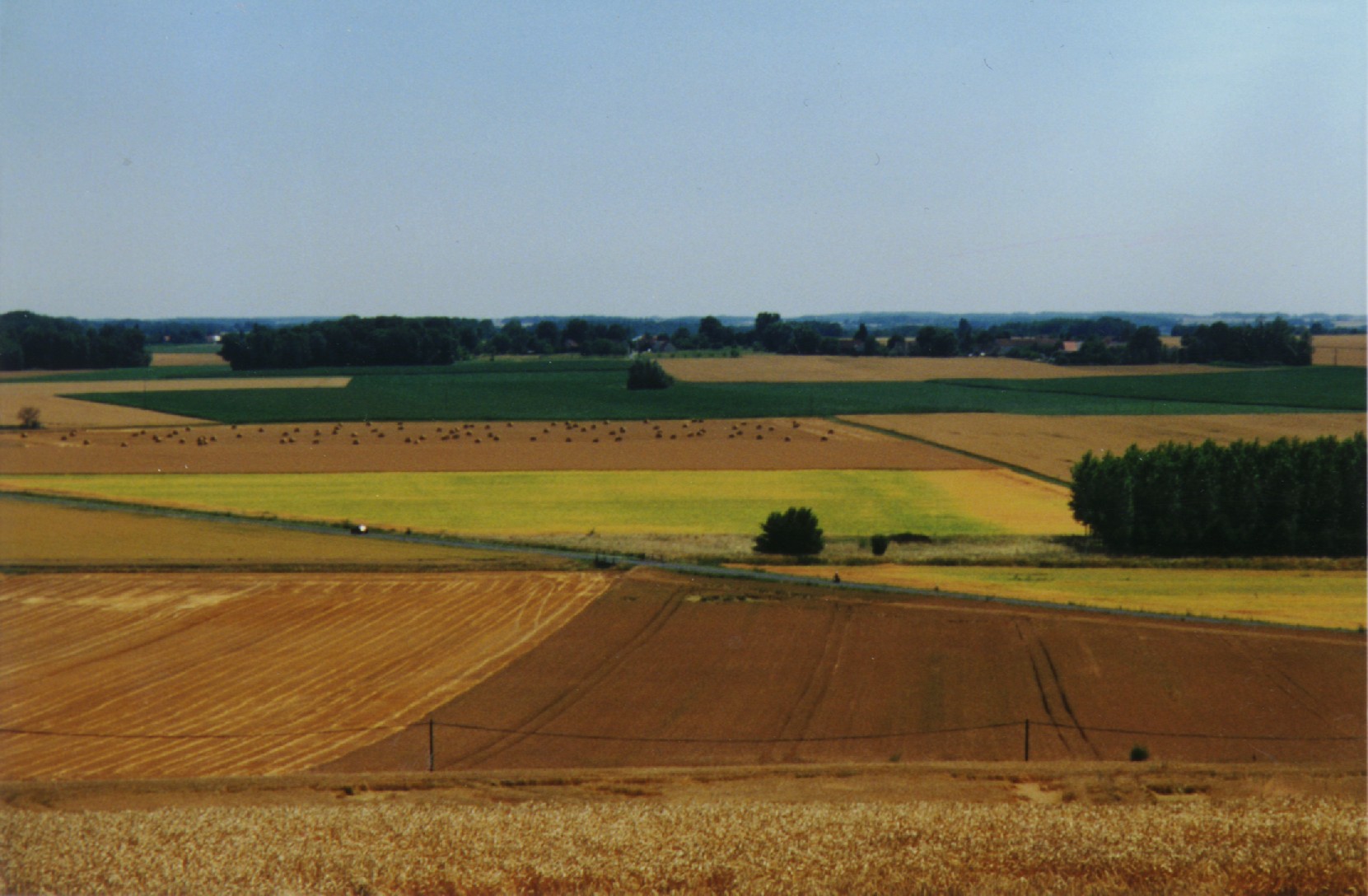
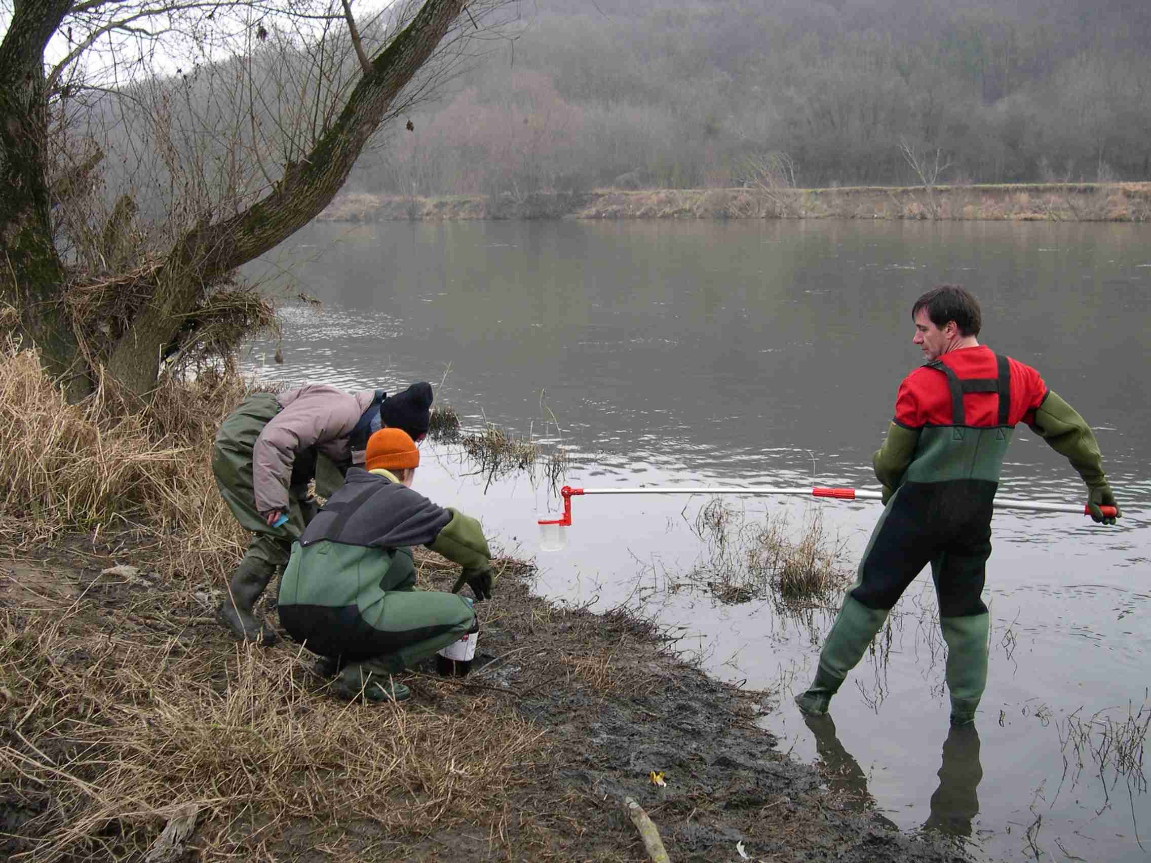
The ORACLE observatory is located 70 km East of Paris, France. Most of the area, in a sedimentary basin, is made of a relatively flat plateau (Alt. 140 m a.m.s.l.), which is incised by the Grand Morin and the Petit Morin rivers (Alt 100m). Several aquifers are associated with layered tertiary formations (Eocene and Oligocene). The Morin Rivers are affluents of the Marne River, known to have contributed to large historical floods in Paris in the 20th century. The observatory is mainly rural (76%) with small towns, villages and hamlets, the whole covering 7% of the area. Forests cover up to 20% of the area. The dominance of agricultural activity within the catchments means that diffuse pollution is regarded as the main environmental pressure. Several perennial device of environment observation are installed since 1962. This site is used for multivariable observations (water cycle, water quality, biodiversity, agricultural practices, sociology…) and multiscale observations (from the canopy to the aquifer, from one m² to 1200 km²). Temporary observations also exist, like soil property measurements, remote sensing data, depending on the specific collaborative projects between different research and operational units. These two observation approaches, the perennial and the temporary ones, are a real advantage to investigate environmental issues. The Observatory and its embedded sub-catchments allow to conceptualize the change in scale and to study sub-catchments with different behaviors.
-
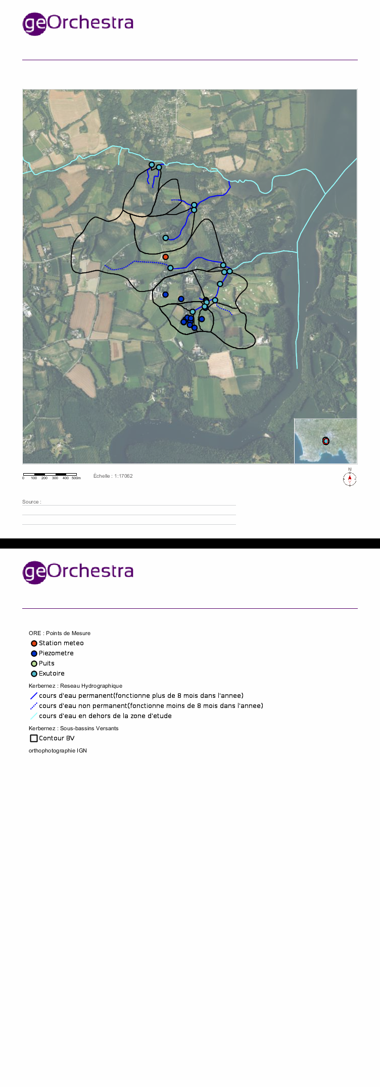
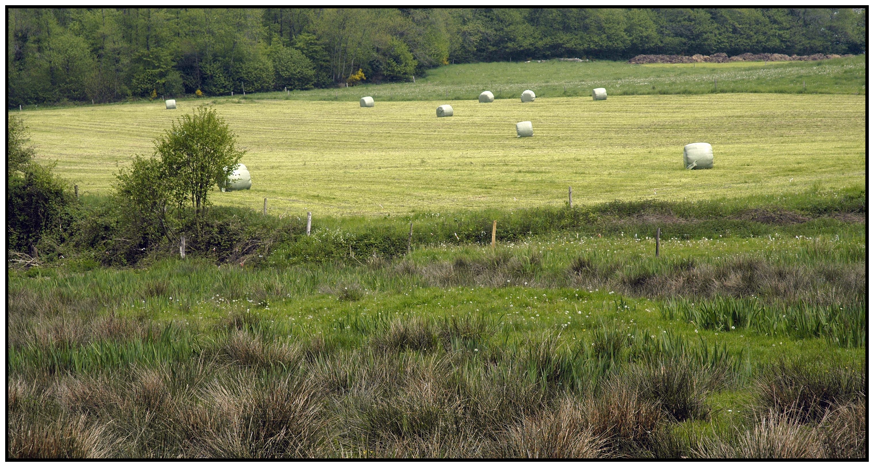
Located in South West of Brittany, western France, the elementary catchments of Kerbernez are underlain by old bedrock and is characterised by a oceanic, humid and temperate climate and by an intensive agriculture. In every catchment, the hydrology is controlled by a shallow aquifer made of the unconsolidated weathered bedrock. The water table in the aquifer is close to the soil surface in bottom land areas of catchment. During storm event, surface runoff occurs mainly over the saturated soils of bottom lands. The Environmental Research Observatory (ERO) AgrHyS focuses on the response times of changing Agro-Hydro-Systems (defined as a catchment influenced by agricultural activity) for hydro-chemical fluxes.
-
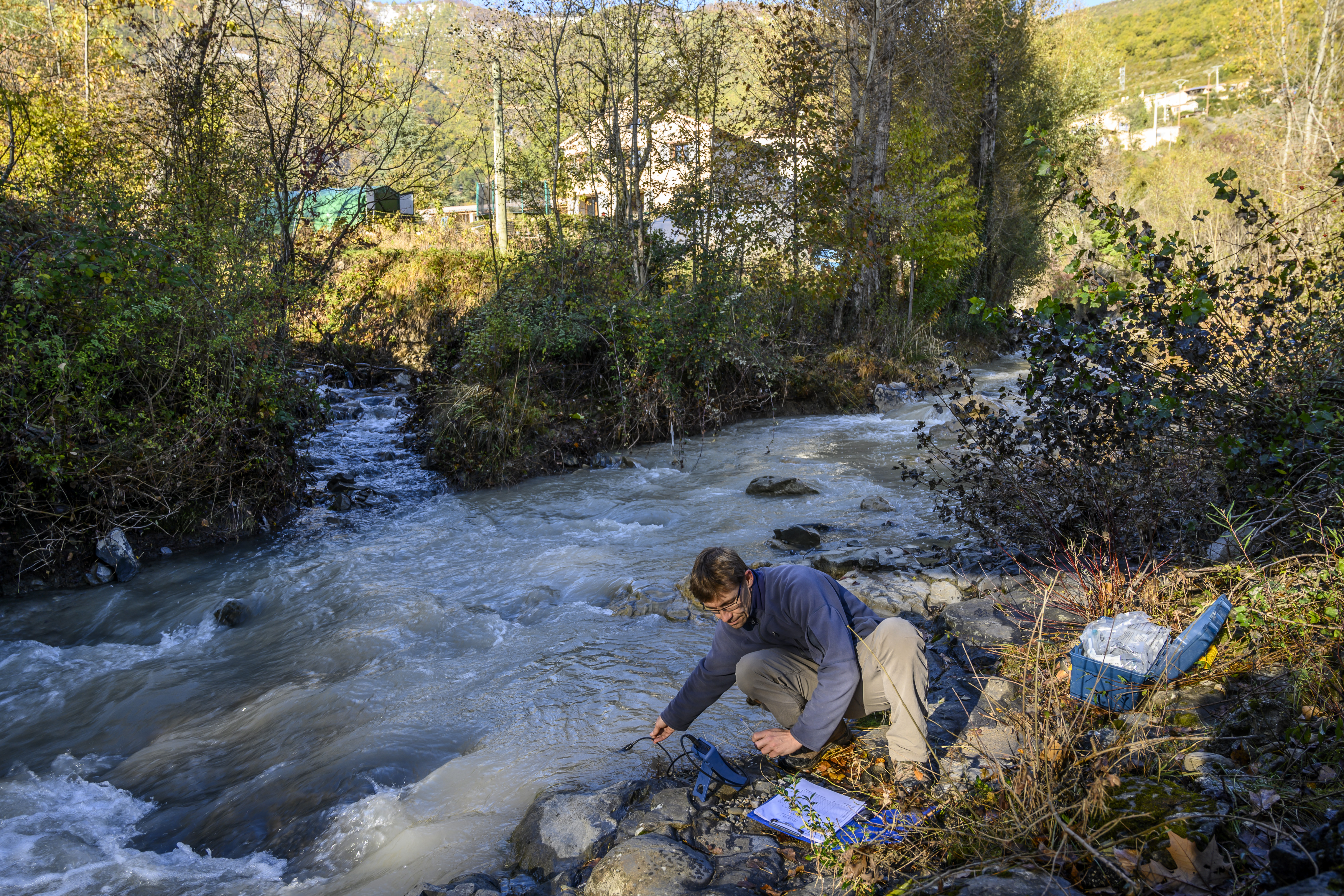
The Galabre site is part of Draix-Bleone observatory, located in the French South Alps, upstream of Digne, on the right side of the Bleone river. The hydrosedimentary station of La Robine-sur-Galabre was created in 2008 to measure water of sediment fluxes from the Galabre catchment, 20 km2. This catchment integrates a diversity of lithologies and land use that are characteristic of the Pre-Alps. The climate is mountainous and Mediterranean. The site is characterized by intense erosion and intermittent sediment fluxes. The variables that are monitored on the long-term include rainfall and meteorology, high-frequency water discharge and suspended sediment concentration (10 minutes), some physico-chemical properties of stream water and sediments.
-
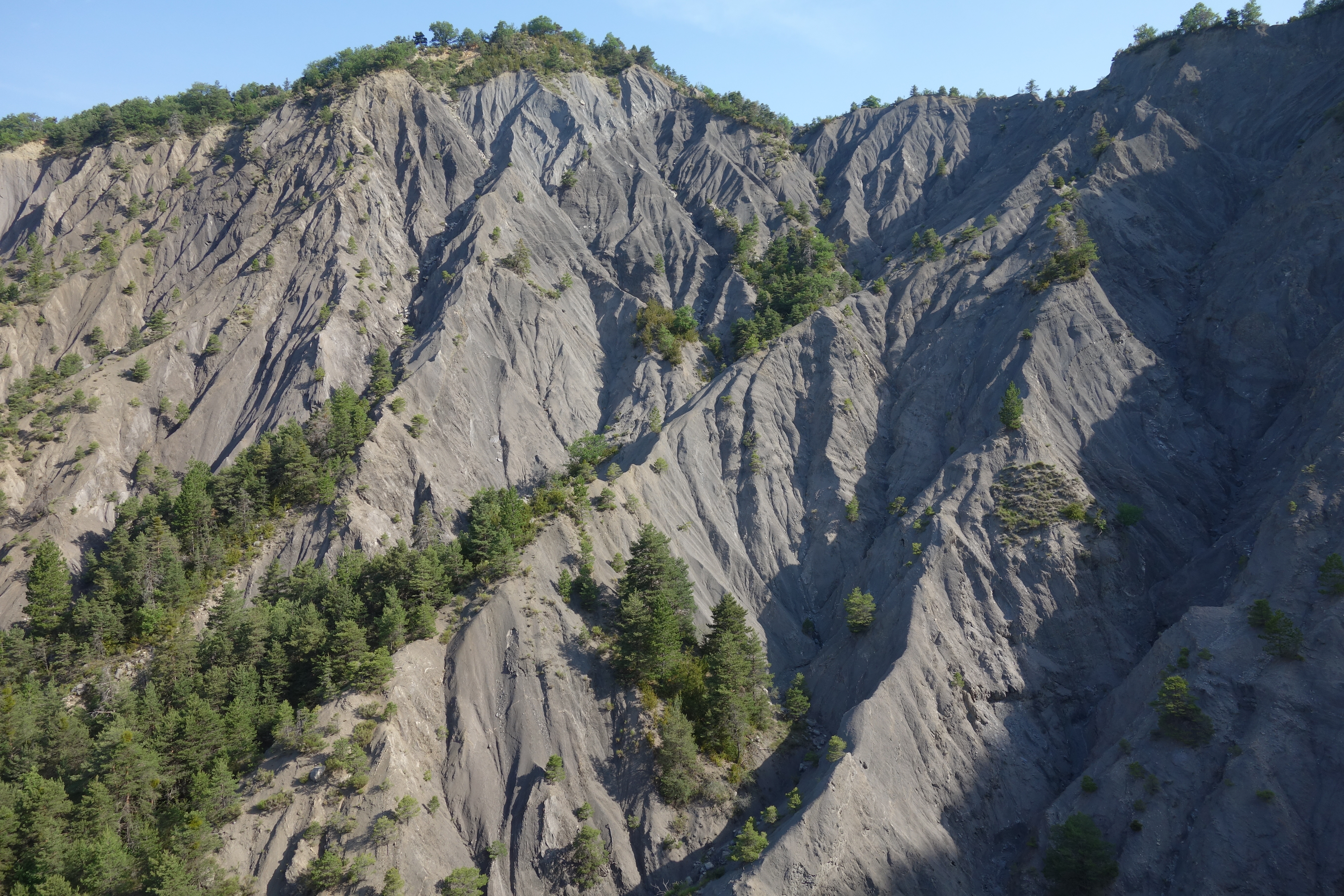
Draix site is part of Draix-Bleone observatory, located in the French South Alps, upstream of Digne, on the left side of the Bleone. Draix site was equipped in 1983 to study mountain erosion and sediment transport. It is composed of 4 catchments, which are equipped to measure water and sediment fluxes, at spatial scales ranging from 0.001 km2 to 1 km2, with contrasted land cover. These catchments are entirely situated on black marls that are very sensitive to weathering and erosion, resulting into a badland topography. One catchment was reforested at the end of the XIXth century whereas the other are mostly denuded. This site is characterized by intense erosion and intermittent sediment fluxes. The variables that are monitored on the long-term include rainfall and meteorology, high-frequency water discharge and suspended sediment concentration (1-10 minutes), event-scale bedload transport, and some physico-chemical properties of stream water and sediments.
-
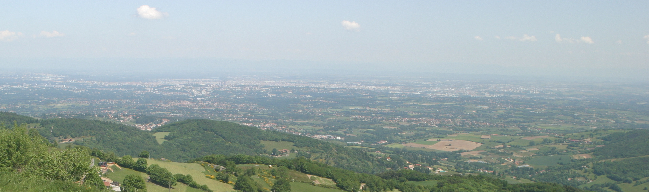
The Yzeron catchment (150 km2) is located to the south-west of Lyon city, France. It forms part of the Observatoire de Terrain en Hydrologie Urbaine (OTHU, 2011) long term observatory. It is representative of French periurban areas and is characterised by a marked topography. The outlet reaches the Rhône river at the elevation of 162 meters and the highest point culminates at 917 m above see level. The slope map calculated from a 25 m resolution Digital Elevation Model (DEM), derived from IGN BDTopo® shows that more than 50% of the catchment has slopes larger than 10%. The geology is contrasted with crystalline formations (granite, gneiss ) in the western part of the catchment and more alluvial and glaciar formations in the eastern part. The land use is heterogeneous. The upstream and western part of the basin is limited by a range of hills covered with forests. The intermediate part is mainly covered with grassland and cultivated lands, mixed with urban nucleus. Thin green corridors remain along rivers, covered with deciduous trees. The downstream part is mainly covered with densely urbanized areas. A fast progression of urbanisation is observed since the eighties. The area is prone to sharp Mediterranean-type flood events due to its steep topography in the upstream part and limited soil water storage capacity overall. The water coming from combined sewer overflow devices is rich of sediments and pollutions, causing quality problems in the rivers, especially during summer storms, where most of the water reaching the river comes from urbanised areas via SODs. Increased erosion of the river banks has also been evidenced with impact on the ecosystems. The catchment is instrumented since 1997 in particular in two sub-catchments with different land uses (Mercier: agriculture and forest) and Chaudanne (agriculture and urban) with rainfall and discharge data. Some information about physico-chemical characteristics are also available.
-
The VCG platform is an area of molassic foothills, covering the Louge, Touch and Save watersheds; it is bounded to the south, east and north by the Garonne. The platform is located inside the Zone Atelier Pyrénées-Garonne, and it includes the Auradé watershed site.
-
The LTSER Zone Atelier Armorique belongs to LTER-France network and is located in Brittany, north-western France. The ZA Armorique conducts an interdisciplinary exploration of landscapes from urban areas to rural countryside, integrating social and environmental dynamics.
-

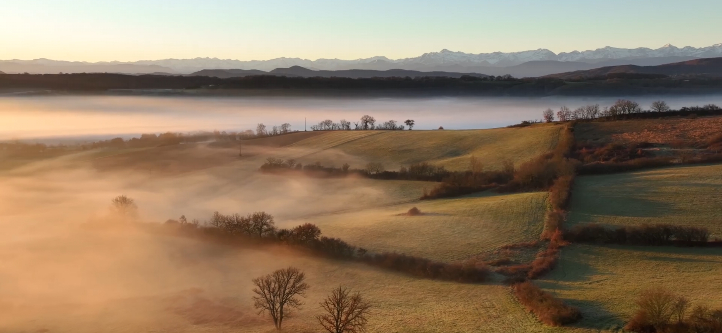
The ZA PYGAR covers the whole Garonne river basin up to the upper part of the Gironde estuary (La Reole station). Within this territory, research is structured around 4 main sites: the Pyrénées mountains, covering the upstream part of the Garonne river basin (PYRénées site), the farmland of the foothills of the Pyrénées (Vallées et Coteaux de Gascogne site), the Garonne river (Axe Fluvial Garonne site) and the basin of two tributaries of the Garonne river in the Massif Central moutains (Aveyron-Viaur site).
-
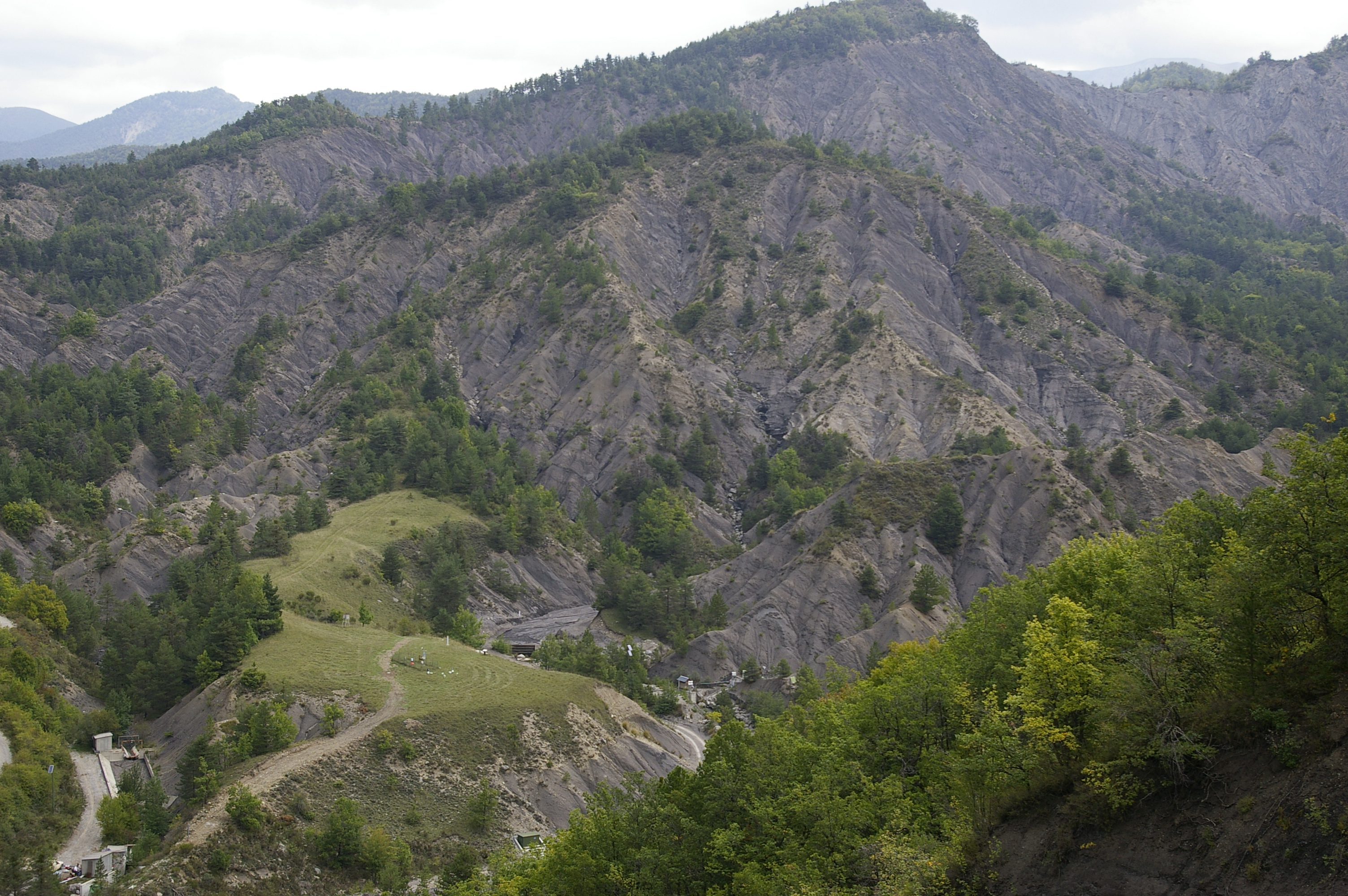
Draix-Bleone observatory was created in 1983 to study mountain erosion and sediment transport. It is located in the French South Alps, upstream of Digne, on the left side (Draix site) and right side (Galabre site) of the Bleone river. Several catchments are equipped to measure water and sediment fluxes, at spatial scales ranging from 0.001 km2 to 34 km2, with contrasted land use and land cover. The smallest catchments are entirely situated on black marl that are very sensitive to weathering and erosion, resulting in a badland topography. The Bouinenc and Galabre catchments integrate a larger diversity of lithologies and land use that are characteristic of the Pre-Alps. The climate is mountainous and Mediterranean. These sites are characterized by their intense erosion and intermittent sediment fluxes. The variables that are monitored on the long-term include rainfall and meteorology, high-frequency water discharge and suspended sediment concentration (1-10 minutes), event-scale bedload transport, some physico-chemical properties of stream water and sediments. Draix-Bleone Observatory is managed by IGE and is funded by INRAE, INSU and OSUG. It is a member of the French research infrastructure OZCAR. The GIS Draix-Bleone gathers all research teams involved on these sites.
-
The LTSER Zone Atelier Bassin de la Moselle belongs to LTER-France network and is located in eastern France, Lorraine / Moselle. The ZAM acquires knowledge for better controls the impact of human activities on the quality of the water resources in Lorraine County (France), in the watershed of the Moselle River.