
University of Sassari
Type of resources
Available actions
Topics
Keywords
Contact for the resource
Provided by
Years
Formats
Representation types
-
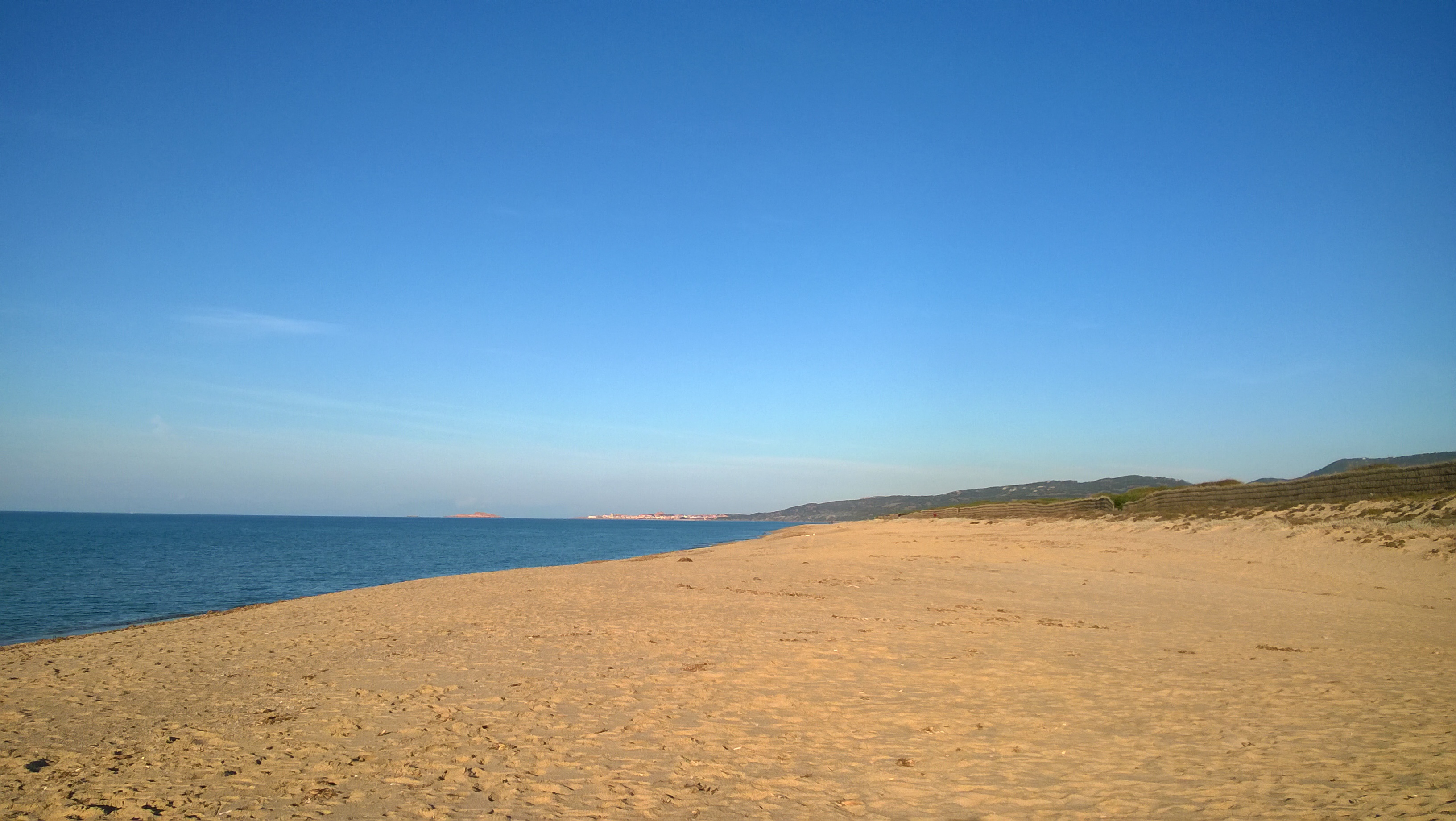
The site is divided into two different types of environments: 1. Coastal marine environments. Marine coastal areas of Sardinia, in particular, the Gulf of Asinara in the north and the Gulf of Olbia in the north-east, affected by different types and intensities of human impact and by the resulting presence of different environmental conditions from the point of view of water quality. 2. Lagoons and coastal ponds. Lagoons and coastal ponds located along the west-central coast of Sardinia, in the Gulf of Oristano. These sites are all important wetlands included in the Ramsar Convention, are IBA (Important Birds Area) and SIC and ZPS. The ownership of the sites is the Regional Government of Sardinia. Fisheries and aquaculture are generally the most important human activities, and there are also educational and recreational activities. They are affected by various environmental issues, mostly related to the process eutrophic.
-
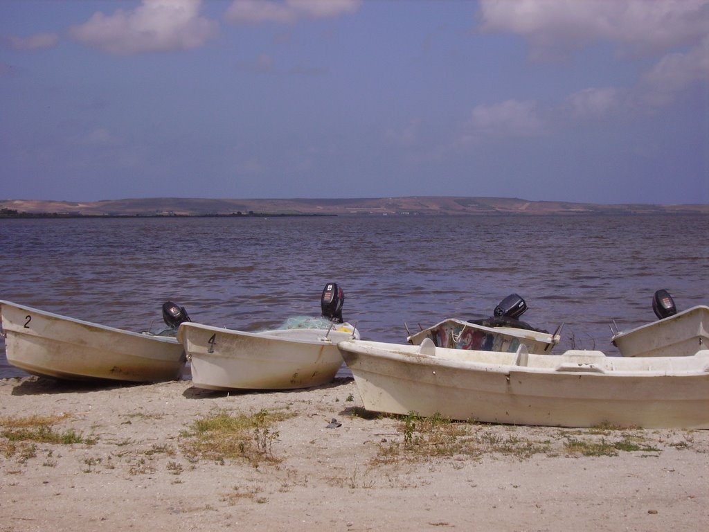
Cabras Lagoon is located on the west coast of Sardinia (Italy), in the Gulf of Oristano (39°56’37’’N, 08°28’43’’E), and occupies about 2280 ha, with a mean water depth and maximum of 1.6 and 3 m respectively. The watershed of the site extends over approximately 430 km2. The input of freshwater into the lagoon is scarce and irregular because of the semi-arid Mediterranean climate. Most of the freshwater comes from the small Mare ‘e Foghe River, located in the north. The predominance of agriculture in the region and the release of poorly depurated urban waste account for the high nutrient loads deposited in Cabras Lagoon. The resident population of about 38,000 inhabitants is grouped in 19 urban centres, the largest being Cabras, which is located on the southeast coastal side of the lagoon. During the twentieth century, the lagoon and its watershed underwent several modifications as a consequence of human activities that affected the hydrology and hydraulics of the region. In addition, in the late 1970s, water exchange with the sea was altered by the dredging of a large canal, the Scolmatore (spillway), which connected the lagoon with the adjacent Gulf of Oristano. The canal was constructed to avoid flooding of adjacent land during the heavy rainfall that occurs in winter. In addition, a cement dam was built into the Scolmatore to prevent further increases in the lagoon’s salinity and artificial barriers were constructed to control the fish catch, thereby impeding direct communication between the lagoon and the sea. Now the only link to the sea is via four very narrow creeks that flow into the large canal from the southern part of the lagoon over the barrier. The lagoon has a high economic rating due to ex¬tensive fishery activities, involving about 300 people and those involved in related enterprises. In the site, in addition to the guard houses and warehouses of fishermen, there is also a restaurant, where the products of fishery in the lagoon are offered. In 1998, fish productivity reached 40,000 kg km-2, corresponding to a catch of 850 tonnes but these values fell to around 20,000 kg km-2 and less than 80 tonnes after 1999. In fact, its high trophic status has often exposed the lagoon to important dystrophic crises, which have caused large reductions in its fishing productivity. Scientific monitoring has been carried out since the strong dystrophic crisis that affected Cabras Lagoon during the summer of 1999, killing the whole aquatic biota. A long-term series of data is available and derives from high-frequency measurements and samplings to assess environmental and biological parameters. In particular the data concern the main trophic descriptors (Secchi depth, temperature, pH, conductivity, dissolved oxygen and saturation, alkalinity, NH4-N, NO2-N, NO3-N, total nitrogen, soluble reactive phosphorus, total phosphorus, dissolved silica) and phytoplankton abundances, as chlorophyll a, cell densities and biomass, class and species composition. The activity was interrupted in 2009.
-
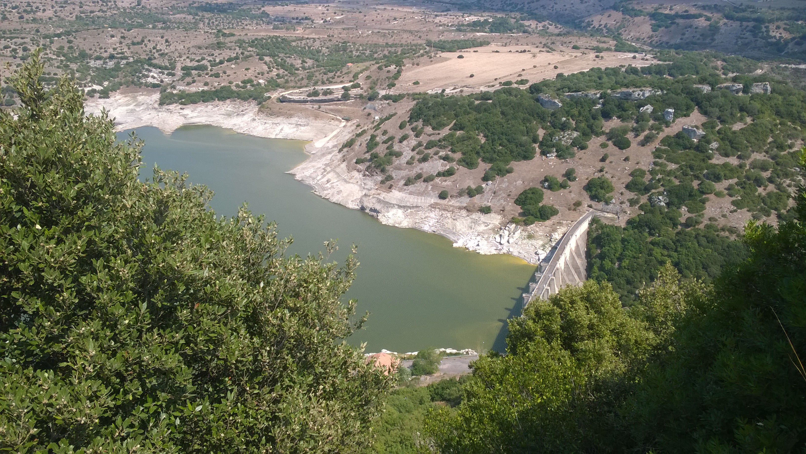
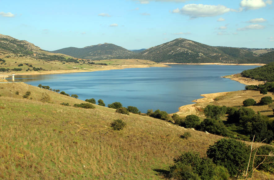
Lake Temo (IT10-006-A) is located in north-west Sardinia. The construction of the dam began in 1971 and ended in 1984. The reservoir lies at 226 m a.s.l. and has an area of 4.81 km2, a mean depth of 15.8 m and a maximum capacity of 91 x 106 m3. Its catchment extends for 142 km2.
-
Lake Cuga (IT10-003-A) is located in the north-western part of Sardinia. The reservoir was built in 1965, but its first filling was in 1975. It lies at an altitude of 114 m a.s.l. and is extended for about 58 x 106 m2, with a maximum and average depth of 45 m and 11 m, respectively. It has a volume of 34 x 106 m3. The waters are used mainly for irrigation and drinking supplies. Cuga Lake is classified as eutrophic since the early years of its filling.
-
Lake Monte Lerno (IT10-004-A) is located in the North East part of Sardinia in the municipality of Pattada. Its construction was completed in 1980. The catchment area is extended for 160 km2. The reservoir lies at 563 m a.s.l. and has a maximum area of 4.4 km2, a mean depth of 14.9 m and a volume of 89.5 x 10⁶ m3 of water. Its waters are used for drinking and irrigation. Lake Monte Lerno is classified as eutrophic.
-
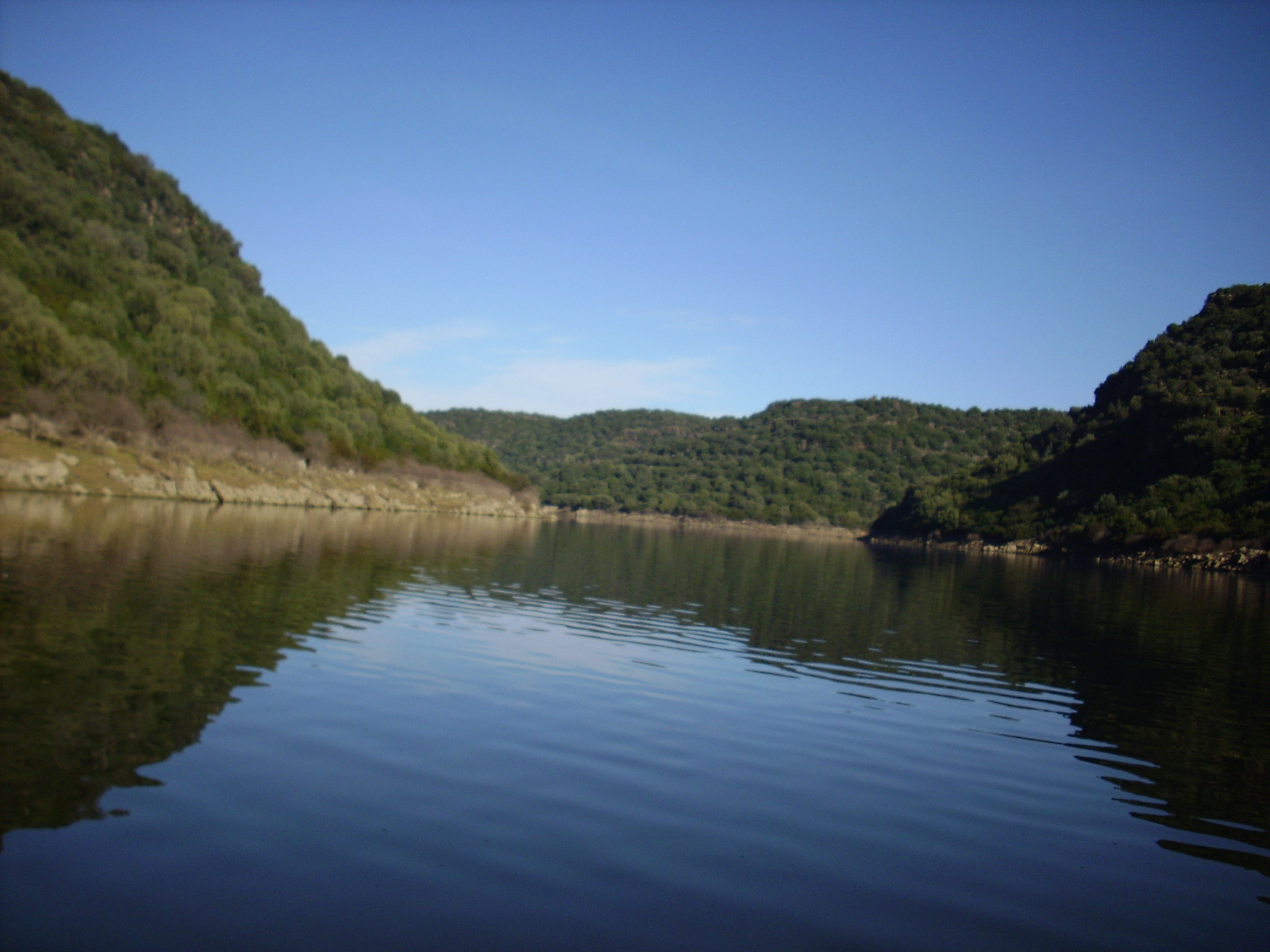
Lake Cedrino (IT10-002-A) is the result of the dam on the Cedrino River built in 1984. The lake is located in the eastern centre of Sardinia. It has a surface area of 1.5 km2 and a volume of 20 x 106 m3 when it is filled to the maximum share (103 m a. s.l.), and a mean depth of 26.5 m. The catchment covers about 627 km2.
-
Santa Giusta occupies an area of 8 km2, with a mean depth of 1 m. Rio Pauli Maiori and Rio Pauli Figu are the two primary freshwater inputs, both located on the lagoon’s east side (Fig. 1b). Santa Giusta also experienced substantial human modification during the 20th century, resulting in profound ecosystem alterations. The Pesaria channel, which originally connected the lagoon to the sea through the Tirso River outlet was deepened, widened, and separated from the river. An industrial harbour was subsequently built, which was connected to the lagoon through an industrial canal controlled by bulkheads. A fish catch system was constructed in the final portion of the Pesaria channel. In 1995, a diversion canal for Oristano urban wastes (the main urban town in the catchment) was built. Despite the canal, the high inorganic nutrient concentrations and algal biomass remained unchanged (Sechi et al. 2001). Macrobenthic algae and phytoplankton are the most important primary producers in Santa Giusta. Sechi et al. (2001) reported several fish kill events associated with harmful algal species blooms in this lagoon. Santa Giusta sediments show high levels of TOC and OM, especially in surface layers (1‒2 cm) in the north and south lagoon areas (Magni et al. 2008). Lugliè et al. (2002) showed Santa Giusta sediment grain sizes exhibited a degree of heterogeneity, but the finer fractions were primarily located in the south-central lagoon area, consistent with central and peripheral canals dredged in the 1970s to facilitate seawater flow into the lagoon. From 1990, the trophic status of the lagoon was always kept under control. It was thus possible to monitor the course of the trophy after the waste was diverted. Even recently (summer 2010) serious events of fish death there were. A long-term series of data is available and derives from high-frequency measurements and samplings to assess environmental and biological parameters. In particular the data concern the main trophic descriptors (Secchi depth, temperature, pH, conductivity, dissolved oxygen and saturation, alkalinity, NH4-N, NO2-N, NO3-N, total nitrogen, soluble reactive phosphorus, total phosphorus, dissolved silica) and phytoplankton abundances, as chlorophyll a, cell densities and biomass, class and species composition.
-
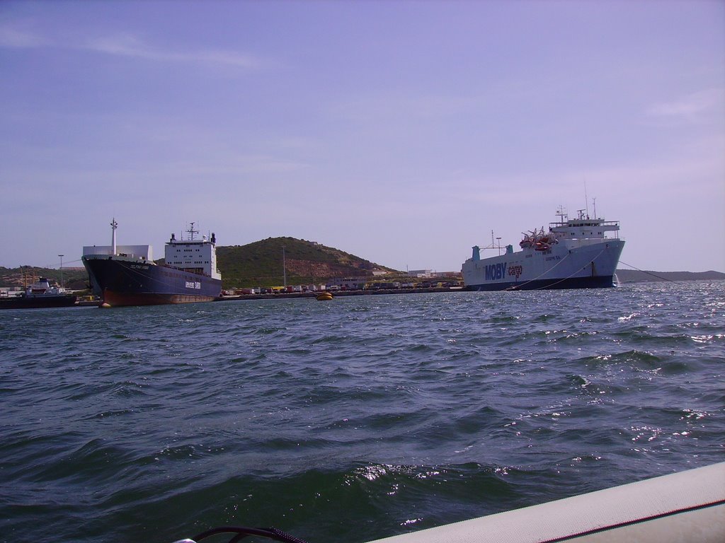
The Gulf of Olbia is situated on the eastern coast of Sardinia. Morphologically, it is a typical ria, long 5 km, wide 2 km and with a total area of 600 ha, a mean depth of 5 m and a maximum depth of 10 m. The gulf receives a freshwater flow from the Padrongianus River in its southern part. The town of Olbia, located in the inner part of the Gulf, is one of the most important passenger harbors in the Mediterranean (about 4 million passengers per year) with in addition a commercial and an industrial harbor. It is also the largest mussel- and clam-farming area in Sardinia (5000 t yr−1). Mussel and clam farming is strongly affected by the presence of toxic algae. Since the early 1990s, the Gulf of Olbia has been monitored with respect to its trophic state and phytoplankton abundance and composition, in particular, the presence of toxic or harmful species of genus Alexandrium (Dinophyceae). However, the first data were collected in 1987, in connection with a discoloration event due to phytoplankton and with an extensive fish death. A long-term series of data is available and derives from high-frequency measurements and samplings to assess environmental and biological parameters. In particular the data concern the main trophic descriptors (Secchi depth, temperature, pH, conductivity, dissolved oxygen and saturation, alkalinity, NH4-N, NO2-N, NO3-N, total nitrogen, soluble reactive phosphorus, total phosphorus, dissolved silica) and phytoplankton abundances, as chlorophyll a, cell densities and biomass, class and species composition. Data collection started in 1992 for only phytoplankton data, then, other environmental variables are added in 1996, with some time gaps of various sizes up to 2008. The collection of only phytoplankton data has continued without interruption since 2008.
-
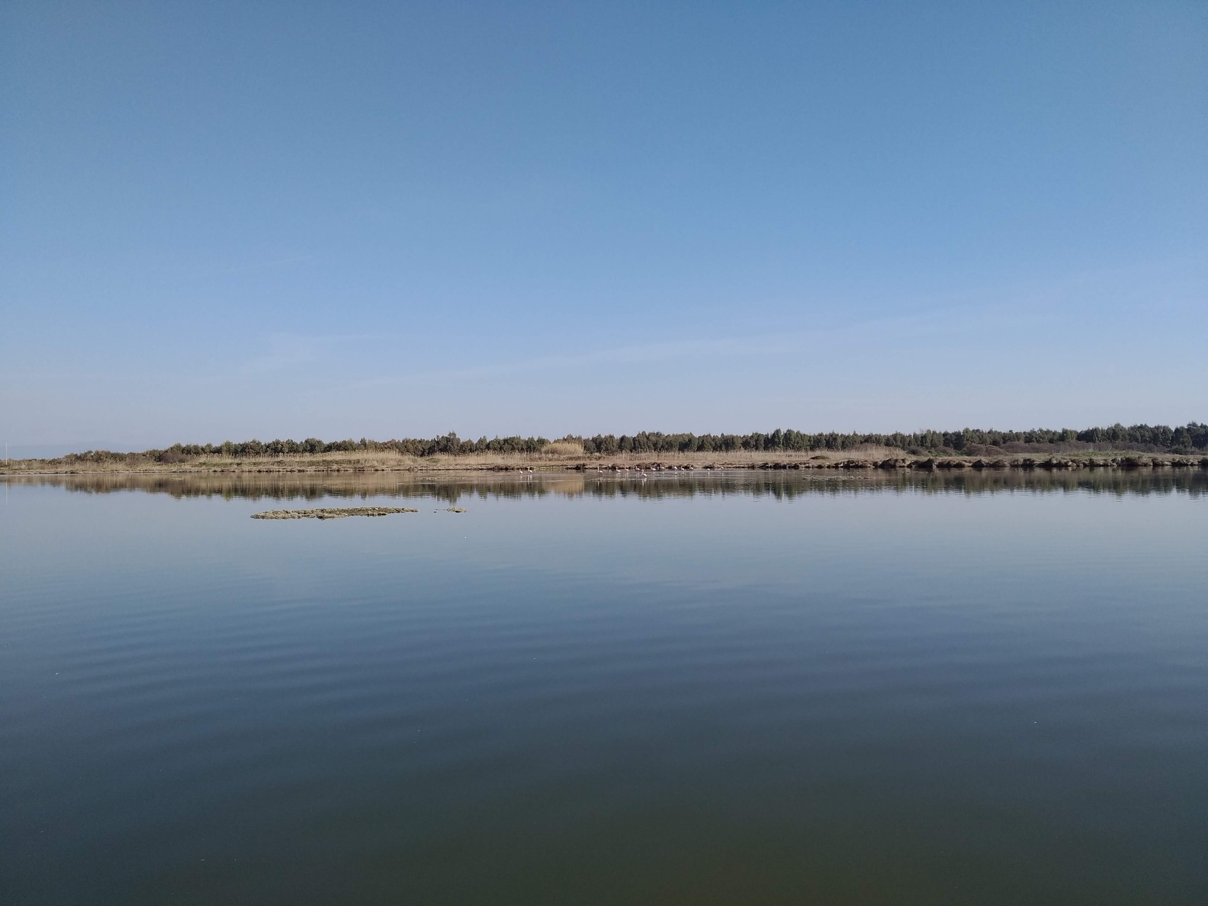
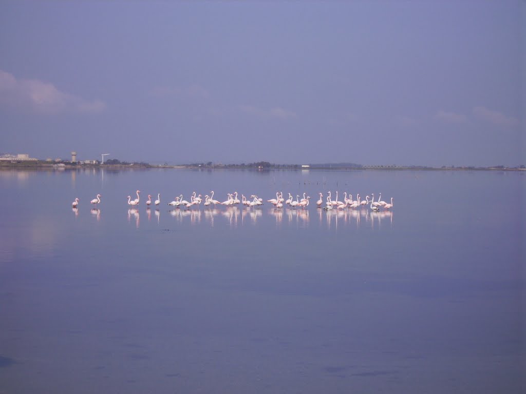
S’Ena Arrubia Lagoon is located along the central western coast of Sardinia (39.83° N, 8.57° E); it is 1.2 km2 in area and has a mean depth of 40 cm. Freshwater input is supplied from the watershed by two rivers: Rio Sant’Anna (also called Diversivo), which drains an area of 78.4 km2 and showed no runoff from April 2001 to March 2002; and the Canale delle Acque Basse (also called Idrovora), which drains 50 km2 mostly originating from the drying up of a pond over 3000 ha wide and dedicated mainly to farming and cattle-breeding. This channel is below sea level and water is pumped from it into the lagoon. A large part of the catchment area is used for intensive arable farming and cattle breeding, and as a result, the freshwater in the Idrovora canal is very rich in nutrients. The water in the lagoon is exchanged with sea water by means of a sea-mouth canal built in the 1970s (length = 230m, width = 25m, depth = 1.3m). Engineering works were carried out in 2000 to widen the sea mouth of the lagoon in order to improve tidal flushing and thus reduce its high trophic levels and improve its hydrodynamics. The dimensions of the new inlet vary in different places. It is 30 m wide and 0.70 m deep near the lagoon, 60 m wide and 2 m deep in the central part and 32 m wide and 1.30 m deep at the sea mouth. Climate is Mediterranean with long hot summer and short mild rainy winter, generally precipitation and consequent water inflows are low, the year average is 650 mm. S’Ena Arrubia Lagoon is very eutrophic because of the intense arable and stock-rearing activities in its watershed and dystrophic crises and fish kills occur occasionally. Anoxia and dystrophic crises were observed as early as the 1960s. The principal human activities in this wetland are fishing, outdoor recreation, education and scientific research. From 1990, a long-term series of data is available and derives from high-frequency measurements and samplings to assess environmental and biological parameters. In particular the data concern the main trophic descriptors (Secchi depth, temperature, pH, conductivity, dissolved oxygen and saturation, alkalinity, NH4-N, NO2-N, NO3-N, total nitrogen, soluble reactive phosphorus, total phosphorus, dissolved silica) and phytoplankton abundances, as chlorophyll a, cell densities and biomass, class and species composition. The collection of data was interrupted in 2003.
-
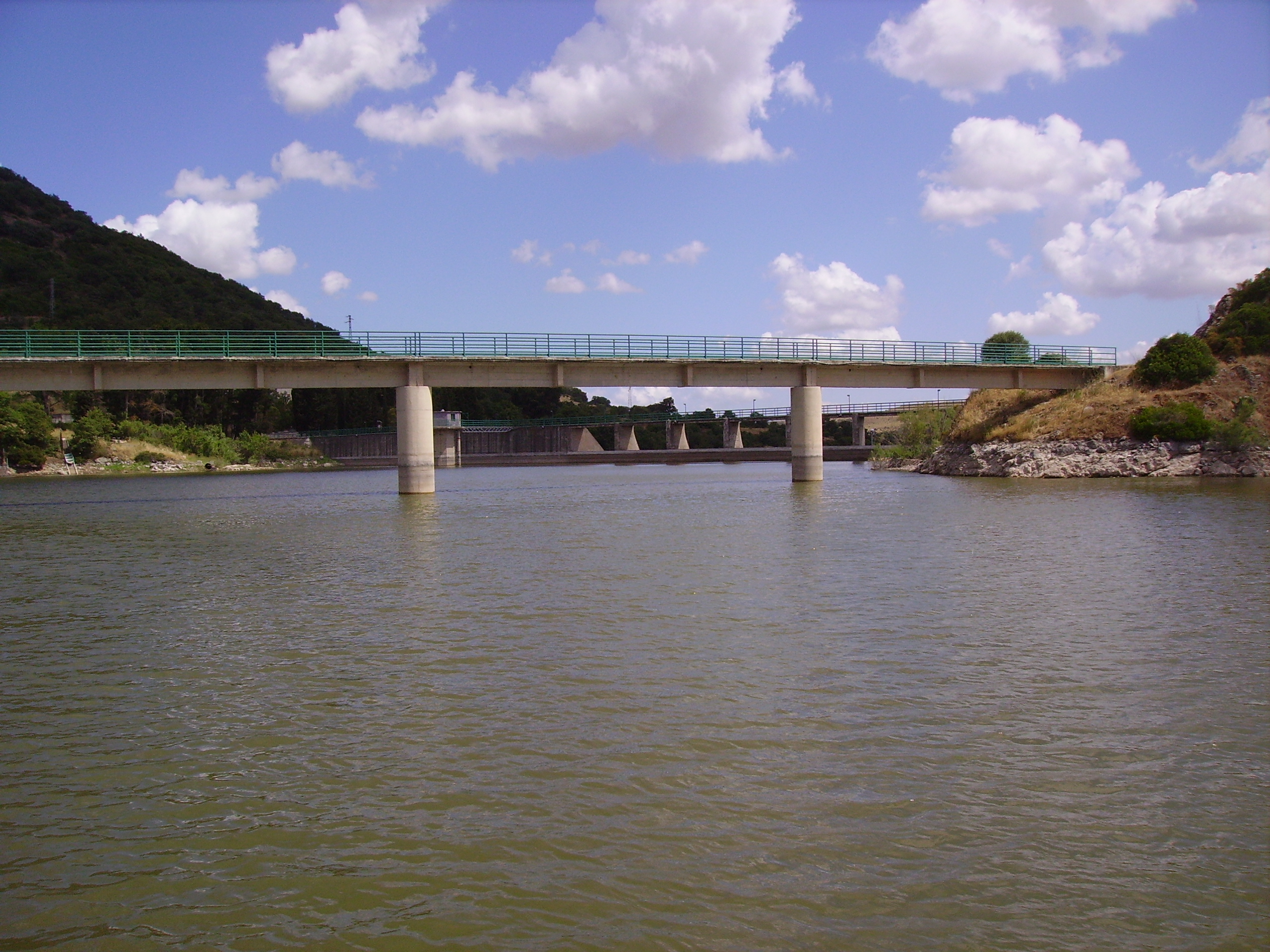
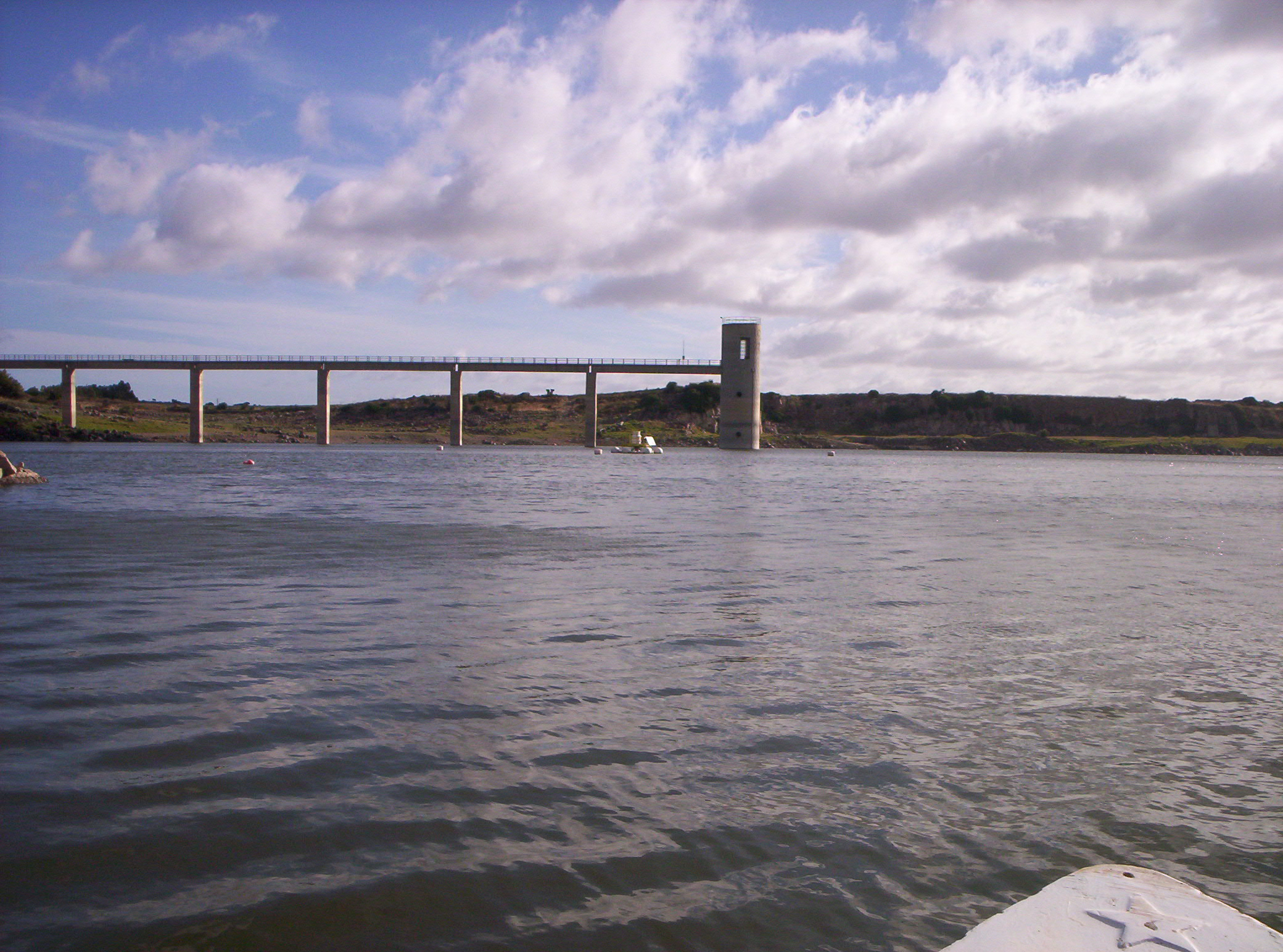
Bidighinzu Lake is a warm monomitic and hypereutrophic reservoir located in northwestern Sardinia at 334 m a.s.l. Built in 1956, it is mainly used for drinking water for a population of about 160,000 users. Bidighinzu Lake covers a surface area of 1.7 × 10⁶ m² and has a maximum volume of 12.2×10⁶ m³ and a mean depth of 7.3 m. According to ECOSTAT, it belongs to the LM7 category (altitudes <800 m a.s.l., mean depths >15 m, conductivity <2.5 mS cm−1). Its watershed has a surface area of 52 km² with a geological substrate consisting of basalt, limestone, and shale. The supplies of water from the catchment to the lake are insufficient to make up for the losses and human demands. Consequently, the lake receives additional water from Temo Lake and Rio Mannu-Su Tulis river lock, localized in different watersheds. Problems of potabilization have arisen since the early years of the reservoir’s use, particularly in summer-autumn, because of hypolimnic deoxygenation and the excessive presence of algae in the epilimnion. To face this situation, different restoration actions were carried out in Bidighinzu Lake. Among the most important: the installation in 1966 of an aeration system in the area around the water intake tower and in 1987 the reduction of nutrient loads from the watershed by the diversion of civil and industrial wastewater downstream of the dam. A comparison among data collected from just before to about 10 years after this last action the site did not show any improvement in the trophic status. Since 2006, the lake is managed by the Sardinia Water Authority (ENAS) and is part of LTER-Italy. The site has real-time remote monitoring station equipped with a multiparameter probe housed on floating platform. The main scientific purposes at present concern the relationships between trophic status, abundance of cyanobacteria and the presence of toxins; the assessment of climate change and local factors on the phytoplankton dynamics; the development of territorial indicators related to the trophic conditions based on the land cover and use of catchment areas. Recently in Lake Bidighinzu it was conducted an experimental activity, with an aeration system with micro-bubbles. The aim was to maintain sufficient oxygen in the hypolimnetic waters, especially in the summer months, in order to improve the purification process, prevent phosphorus release from sediments and mitigate eutrophication. Available data sets include information on phytoplankton and limnological variables since the last 70.