
environment
Type of resources
Available actions
Topics
Keywords
Contact for the resource
Provided by
Years
Formats
Representation types
Update frequencies
status
Scale
Resolution
-
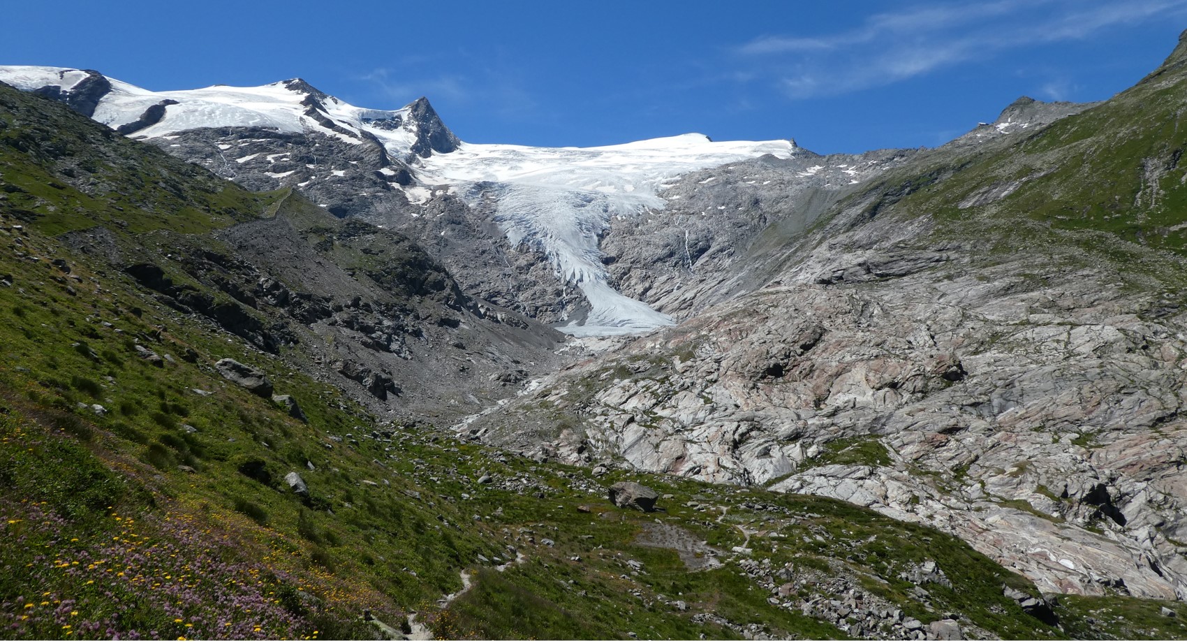
The Hohe Tauern National Park (NPHT) and its region has been conducting specific monitoring programs for research purposes for years, all with links to eLTER. The platform includes a number of measuring facilities, which are all described in specific research sites each, i.e. LTER Hohe Tauern National Park (NPHT), Sonnblick Observatory, Oberes Stubachtal, Mullwitzkees, Venedigerkess and Pasterze. This LTSER platform picks up all possible monitoring acvities within the NPHT region and makes them available for eLTER. The platform is able to carry out and promote natural and social science work.
-
Vegetation data from ICP Integrated Monitoring. Sub program VG. Gårdsjön IM Intensive plot 2 - vegetation
-
None
-
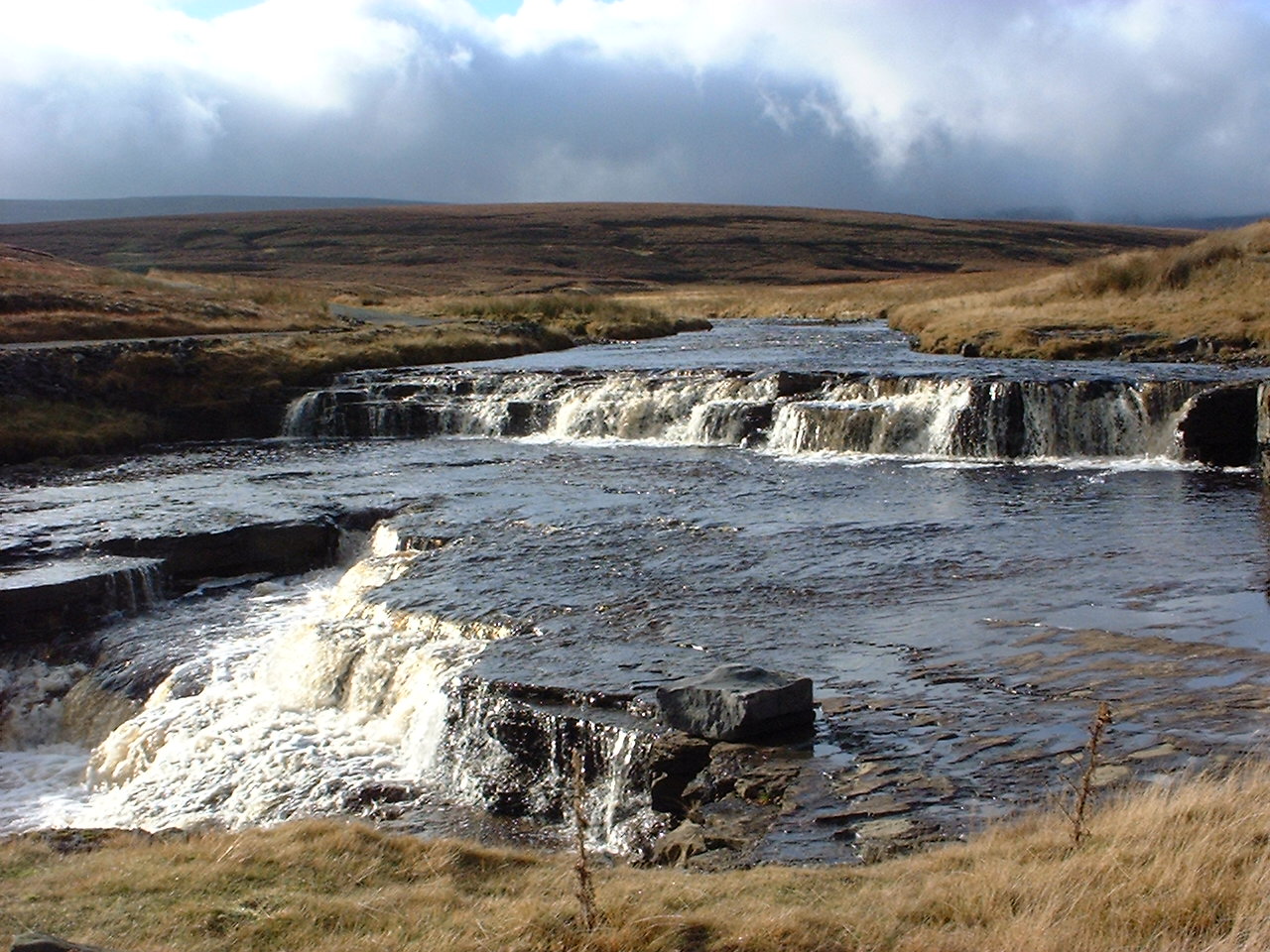
UK ECN site. The Trout Beck is a headwater stream of the River Tees, which drains Great Dun Fell, Hard Hill and Knock Fell in the North Pennines. The ECN sampling point (Grid Ref NY758335) is at 535m altitude and the catchment above this covers 1146 ha, rising to 848m altitude. The geology is alternating strata of Carboniferous limestones, sandstone and shales. Blanket peat covers 90% of the catchment with skeletal soils towards the fell tops and small areas of limestone soils and alluvial soils. Vegetation is dominated by ling heather (Calluna vulgaris), cotton grass (Eriophorum spp) and Sphagnum moss. The catchment lies in Moor House National Nature Reserve which is owned by Natural England. Discharge is measured at a gauging station operated by the Environment Agency. The pH of Trout Beck has wide fluctuations associated with the discharge. The site has a long history of ecological research. Note: this site is a single point sampling location on a river. The site is co-located with the Moor House-Upper Teesdale ECN site (the catchment lies entirely within this site). It is also included in the UK's Upland Waters Monitoring Network (UWMN). The shape file indicates the Moor House-Upper Teesdale ECN site.
-
DE-Okd is a permanent grassland site on drained organic soil located within the bog complex “Gnarrenburger Moor” in Northwest Germany, approximately 60 km north of the city of Bremen. The site has been used for fodder production over at least the last 30 years. The field is intensively managed with four to five grass cuts each year in combination with high nitrogen fertilization rates. The bog complex is located in a dairy region with about 80% of its area nowadays being used as grassland. The site is deeply drained with a horizontal drain spacing of 8 m and a drainage depth of about 0.7 m. Each drain pipe discharges into deep ditches at the edges of the field. The grass species composition consists mainly of Lolium perenne and to a lower extent of Festuca pratensis, Phleum pratense, and Poa pratensis. The soil/peat profile is classified as Ombric Drainic Fibric Histosol (Hyperorganic; IUSS Working Group WRB, 2015). Total peat depth at the site is at least 2.4 m. Peat type within the first five centimeters is amorphous peat, below 5 cm it is Sphagnum peat. In all horizons below 5 cm, the C:N ratio ranges between 48 and 76, pH values are <4, and the bulk density is <0.13 g cm-3.
-
None
-
The Lettosuo station (ICOS code FI-Let) is a nutrient-rich peatland forest (originally a fen-type peatland), located in southern Finland, few kilometers from highway 2. The site was drained for forestry in 1969 and partially harvested in March 2016. After drainage, the stand has developed to a mixture of Scots pine (Pinus sylvestris L.) and pubescent birch (Betula pubescens Ehrh.) in the d
-
None
-
Located in Jingdong County, Yunnan Province, China. The annual mean air temperature was 11.3 °C, with a minimum monthly mean temperature of 5.7 °C in January and a maximum monthly mean temperature of 15.6 °C in July. Average annual rainfall was 1778 mm, with 86.0% of this falling in the rainy season (May–October). The dominant tree species in the forest are Lithocarpus xylocarpus, Lithocarpus hancei, and Castanopsis wattii.
-
The station Mejusseaume (ICOS code FR-Mej) is located on managed agricultural land (grazed grassland with occasional maize cropping seasons), around 10 km West of the city of Rennes in Brittany, NW France. The measurement site is part of the INRAE-PEGASE dairy experimental farm (IEPL) at Méjusseaume. The field is roughly rectangle-shaped (approx 170 m * 280 m), aligned NW-SE, with a surface area of 4.72 ha, at the centre of which the EC mast is located. The upwind distance to the field edge (fetch) in the prevailing wind direction (SW) is in the range 90-110m. There is also a significant contribution by NE winds at the site (generally late winter and spring). The field is surrounded by similarly managed fields - mostly grazed grassland -, except for a small woodland patch to the North-West. Intensively-managed grazed grassland, with rotational cattle grazing phases 4-6 times per year. Grassland ploughed up every 5 years in spring, followed by one-season maize crop, sown back to grassland in autumn the same year. Surrounded by fields with similar land use (permanent grassland, or long-term grassland-maize rotation). Tree hedges on 3 out of 4 field boundaries. Organic and mineral fertilization (average 100 kg N ha-1 yr-1).