
2020
Type of resources
Available actions
Topics
Keywords
Contact for the resource
Provided by
Years
Formats
Representation types
Update frequencies
status
Scale
-
Air temperature at 2m measured in a raised bog ecosystem (treed bog community) by ROTRONIC HygroClip S3 (temperature logger), 2010-continues, 30 min frequency, several gaps in data, N60.89164 E68.67690, as part of meteorological monitoring in Mukhrino Field Station (https://mukhrinostation.com/).
-
Average values along the water column of reactive silica collected in the Lake Bidighinzu
-
Air temperature at 2m measured in a raised bog ecosystem (ridge) by Baro-Diver (DI 500), 2006-2016 (with several breaks) as part of meteorological monitoring in Mukhrino Field Station (https://mukhrinostation.com/).
-
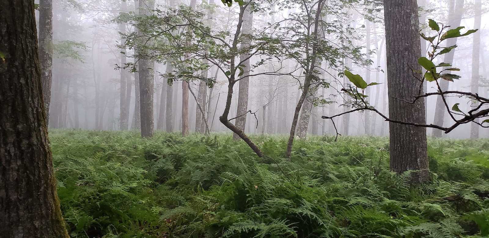
Mountain Lake Biological Station is located in a remote, but accessible southern portion of the Appalachian Mountain Chain in southwestern Virginia, approximately 20 km northwest of Blacksburg, VA. The Jefferson National Forest is contiguous to the station, with 42.5 km2 of woodland is designated as NFS Wilderness. The relocatable terrestrial NEON site is comprised of three parcels of land, with the northern two segments owned by the US Forest Service and the southern portion hosted by the University of Virginia. The 11.14 km2 site is situated on the elevated divide between the Atlantic and Mississippi drainage basins and is characterized by abrupt changes in environmental gradients and fine-scale variances in ecological niches. It is the only NEON Appalachians & Cumberland Plateau Domain site located in Virginia, as the other four domain 07 sites are found in Tennessee. Remote sensing surveys of this field site collect lidar, spectrometer and high-resolution RGB camera data. The flux/meteorological tower at this site is 94 with 6 measurement levels. The tower top extends above the vegetation canopy to allow sensors mounted at the top and along the tower to capture the full profile of atmospheric conditions from the top of the vegetation canopy to the ground. The tower collects physical and chemical properties of atmosphere-related processes, such as humidity, wind, and net ecosystem gas exchange. Precipitation data are collected by a tipping bucket at the top of the tower and a series of throughfalls located in the soil array. This site has five soil plots placed in an array within the airshed of the flux tower. Field ecologists collect the following types of observational data at this site: Terrestrial organisms (birds, ground beetles, mosquitoes, plants, small mammals, soil microbes, ticks), Biogeochemical data, and soil data. Total data products planned for this site: 115
-
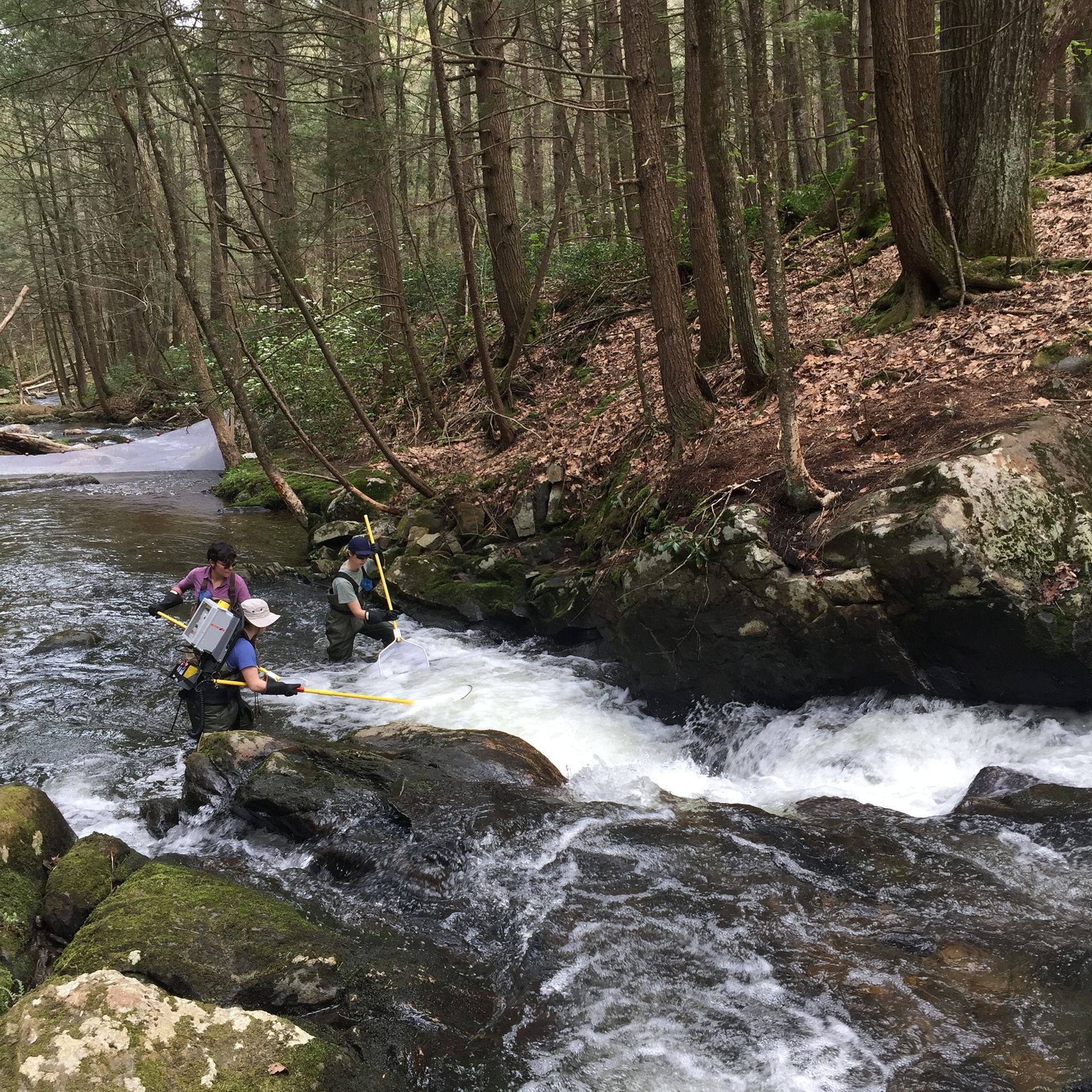
The Lower Hop Brook is a core aquatic site in Domain 01 Northeast in Massachusetts. HOPB site is a 3rd-4th order wadeable stream that flows into the Quabbin Reservoir in central Massachusetts. The section of stream selected by NEON flows from Shutesbury Road to the inlet of reservoir. Several beaver dams and ponds characterize the area upstream of Shutesbury Road. The Lower Hop Brook site is a clear-water, moderate gradient stream with gradient increasing as the stream approaches the reservoir. Minimal beaver activity (dams, ponds) is anticipated in the upper portions of the reach during the life of the NEON project. Large debris dams characterize the reach downstream. Substrate ranges from sand to cobbles, boulders, and finally bedrock outcrops downstream. The stream canopy is predominantly a mixed deciduous, northern hardwood forest with beech trees near the stream. Total data products collected at this site 78.
-
The dataset contains records of bats (Chiroptera) collected in the lower valley of River Sabor, in the scope of the long-term Ecological Monitoring Program (PME) of the Baixo Sabor Hydroelectric Dams (AHBS), promoted by EDP – Energias de Portugal, S.A. Sampling was carried out between August 2008 and September 2014 in selected sampling points, in the framework of the regular monitoring of feeding habitats for Chiroptera. As part of the monitoring program of Compensatory Measures (MC 5.7), sampling was also carried out between July 2010 and September 2104 close to small weirs located in the tributaries of the River Sabor, above the area to be flooded by the reservoirs. The latter sampling included both extant weirs and locations where weirs were planned to be built in the future for improving feeding resources for bats. Overall, regular field sampling was performed at a total of 97 sampling points within a 5-km radius buffer around the limits of the area flooded by the reservoirs in the lower valley of River Sabor. The presence and identity of bat species were assessed by acoustic sampling of the echo-location calls emitted in fligth. The records include taxa identified at the species, genus, family or order level, as well as groups of species that share common calls but cannot be identified to any taxonomic level, and that were thus assigned to acoustic “species complexes”.
-
The dataset contains records of bats (Chiroptera) collected in the lower valley of River Sabor (NE Portugal), in the scope of the long-term Ecological Monitoring Program (PME) of the Baixo Sabor Hydroelectric Dams (AHBS), promoted by EDP – Energias de Portugal, S.A. Specifically, this dataset includes results of surveys made in the scope of the monitoring of the project of Compensation Habitat of Vilariça valley for Chiroptera (MC1). Data were collected between April 2013 and August 2014, during field visits to 2 selected points located along the Vilariça stream, a tributary of the Sabor river, located near its mouth. The presence and identity of bat species were assessed by acoustic sampling of the echo-location calls emitted in fligth. The records include taxa identified at the species, genus, family or order level, as well as groups of species that share common calls but cannot be identified to any taxonomic level, and that were thus assigned to acoustic “species complexes”.
-
Long-term studies allow to evaluate all the significant changes which an ecosystem encounters with time. In this respect, the Mar Piccolo of Taranto represents a good example for the studies on the phytobenthos. Indeed: in the Twenties the first researches were carried out; up to the Seventies they were occasionally performed; in the Eighties they became continuous and are still ongoing as such. Therefore, the presence of historical series of data gives the chance of assessing both qualitative and quantitative modifications, which occurred against the phytobenthic communities of the basin. Irma Pierpaoli was the first phycologist in Taranto. She was a young teacher of Natural Sciences from Ancona, who taught in Taranto in a secondary school from 1920 to 1925, dabbling in picking seaweeds along the Mar Piccolo shore before going to school in the morning. Of this activity, she left two published papers and an herbarium. Up to the second half of the Eighties’, no phycological information are available on the Mar Piccolo. But, in 1986, the Phycological Laboratory was set up at the Istituto Talassografico, now CNR-IRSA, and the orderly study of the Mar Piccolo phytobenthos began from both a floristic and a vegetational point of view. Also the collection of quantitative data started. From 1987 up today several series of different data became available.
-
The meteorological sensors are located on the roof of the main building of the Biological Station (N 47,7691; E 16,7662; Position (elevation): 122 msl) in the close vicinity of Lake Neusiedl. The parameters that are on-line recoded every 15 minutes are as follows: Air humidity (%RH), Global radiation (W/m²), Air temperature (°C), Wind speed ([Average] (km/h), Wind direction (°), Rain yearly (mm), Precipitation (mm); time resolution: 15 minutes. There are also two traditional weather stations at the station and on the jetty, which are maintained by the Hydrolographic Service Burgenland and enable parameters such as temperature, humidity, precipitation and water level to be recorded. In addition to the Adcon weather station on the roof of the station, there are currently 3 other stations in operation in Seewinkel. These positions are: • Unterer Stinkersee (N 47,8018; E 16,7842) • Neudegg (N 47,7029; E 16,8098) • Östliche Fuchslochlacke (N 47,7907; E 16,8624)
-
Discharge at the main measuring weir (Station 551) at LTER Zöbelboden as calculated based on the gauging station’s rating curve and 15 min water level sensor data. When using the data, please take into account, that this is a karst area with uncertain catchment boundaries. The runoff at the main measuring weir does therefore not represent the true total runoff of the catchment. The best estimate of the catchment area representing the main measuring weir is 576000 m². For more details see Hartmann, A.; Kralik, M.; Humer, F.; Lange, J.; Weiler, M. Identification of a karst system’s intrinsic hydrodynamic parameters: upscaling from single springs to the whole aquifer. Environmental Earth Sciences 2011, 1–13, doi:10.1007/s12665-011-1033-9.