
methane concentration
Type of resources
Available actions
Topics
Keywords
Contact for the resource
Provided by
Years
Formats
Representation types
-
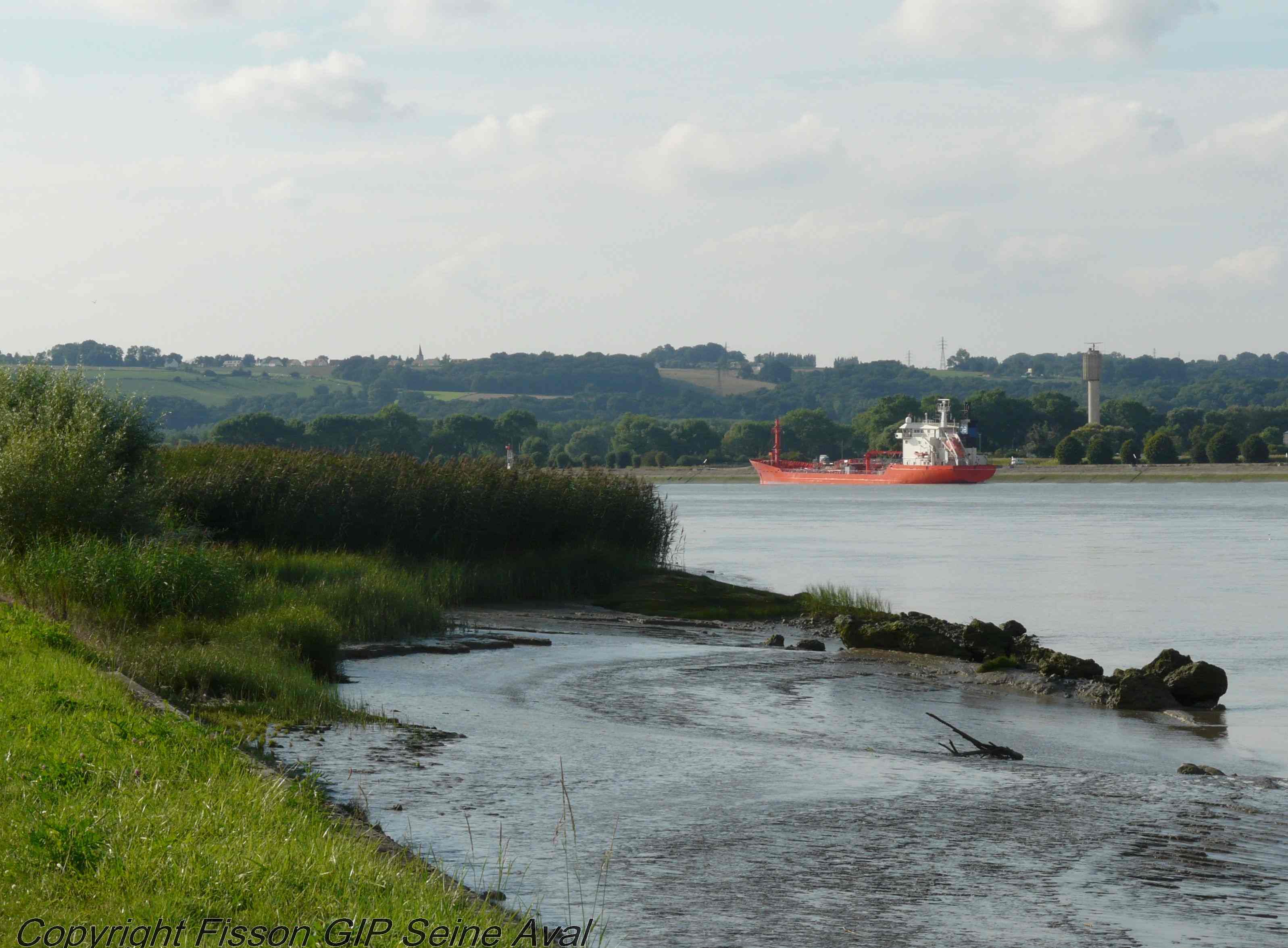
The LTSER Zone Atelier Seine belongs to LTER-France network and is located in Seine River Basin. The ZA Seine general aim is the study of a whole region. How its inhabitants construct the aquatic environment, as well as the quality of surface- and ground-waters may be seen as the dominant scientific question. The question is posed at various scales in space (from sub-catchments to the whole basin), and in time (from historical analysis starting in the Middle-Age to prospective studies for the next century).
-
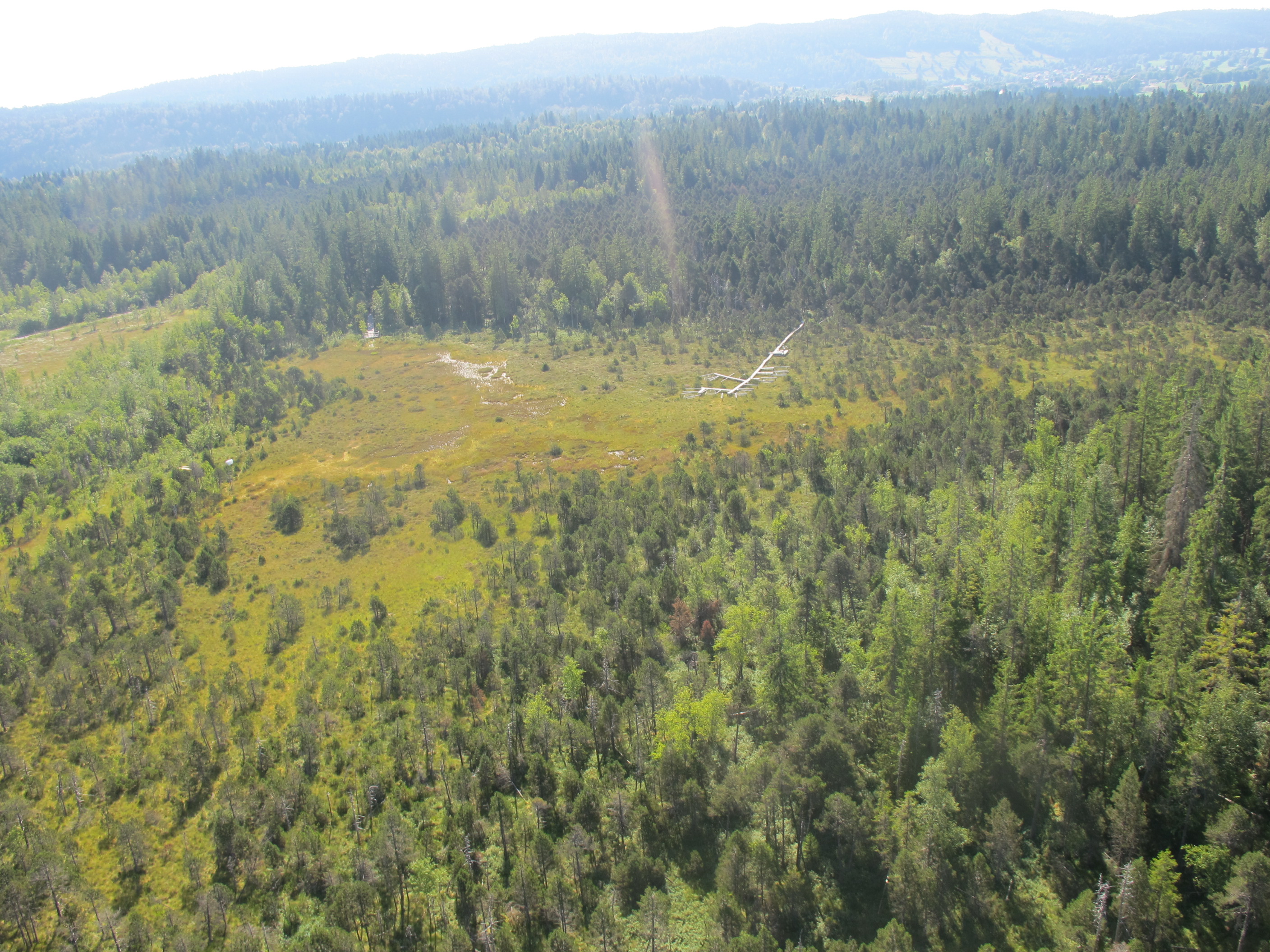
This is a Sphagnum dominated bog, which is part of a mire complex.
-
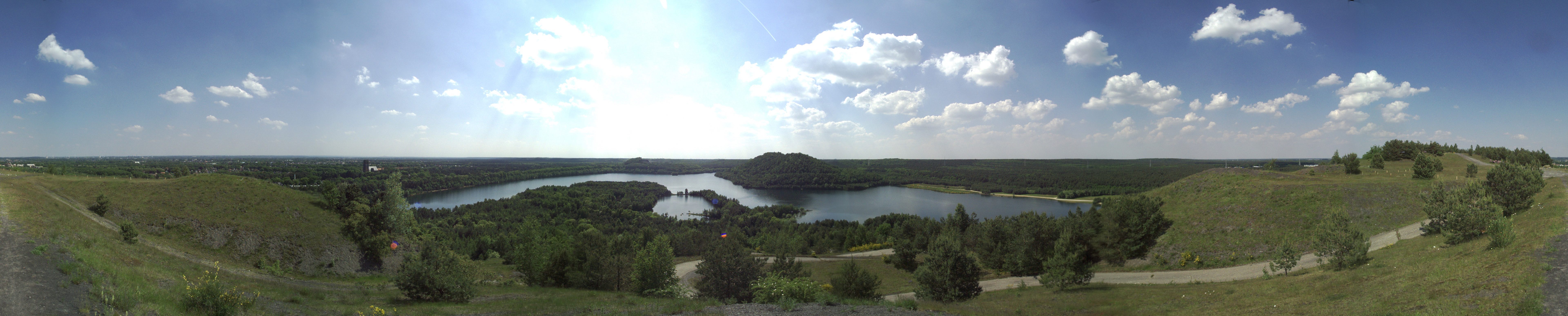
The total NPHK is currently (since 2020) about 12,000 ha, but the eLTER site corresponds to the former perimeter of the NPHK and represents an urbanised protected area of about 60km2 (or 6,000ha) located in the Province of Limburg in the East of Belgium. The NPHK (inaugurated in 2006 and extended from 6000ha to its current 12000ha in 2020), located in a former coal mining area is surrounded by 10 municipalities with more than 200,000 inhabitants, equivalent to a population density of 450/km2 . The park covers a rich variety of habitats, including heathlands, deciduous forest, coniferous forest and fens and evidently the corresponding diversity of fauna and flora. Several research groups from universities and institutes are monitoring and measuring abiotic and biotic parameters throughout the different ecosystems. Research on ecosystem services are also playing a major role, including tourism and mobility.
-
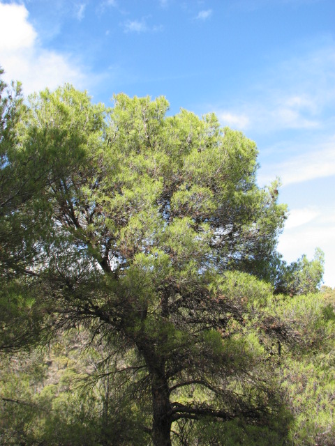
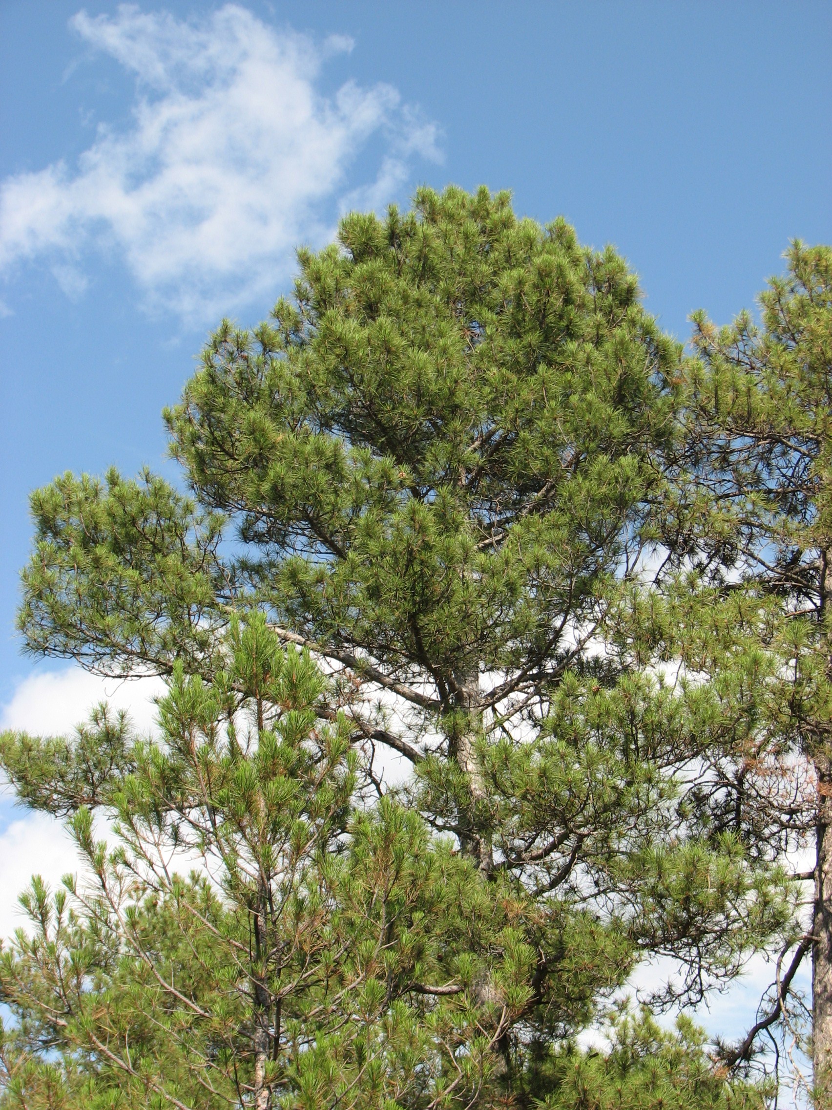
The Intensive Monitoring of Forest Ecosystems (ICP-Forests Level II network) consists currently in 14 monitoring plots representing important Spanish Forest Ecosystems distributed throughout the Spanish mainland showing the most common forest situations of each country and representing rare or endemic situations. The Plot 25 Ph represents a Pinus halepensis pine forest located in the East of the Iberian peninsula. It is a mature monoespecific regular forest. Climatic gradient is Mesomediterranean. The soil is calcareous, shallow and extremely rocky.
-
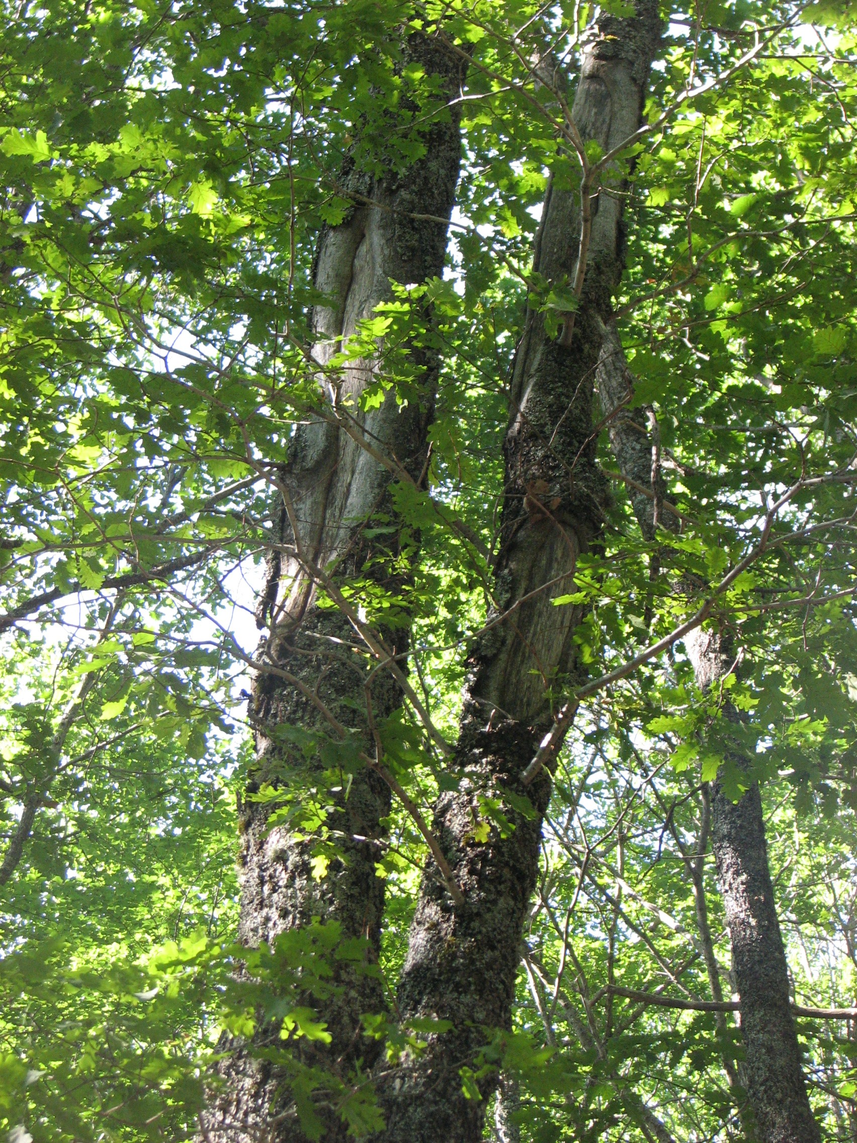
The Intensive Monitoring of Forest Ecosystems (ICP-Forests Level II network) consists currently in 14 monitoring plots representing important Spanish Forest Ecosystems distributed throughout the Spanish mainland showing the most common forest situations of each country and representing rare or endemic situations. The plot 33 Qpe represents the oak Quercus petraea forests in the Cantabrian region. It is a forest stand with high density. There are several beech trees mixed with an understory of holly trees and heather. Climatic gradient is montane, in the Eurosiberian region, The soil is made up of ferruginous slates.
-
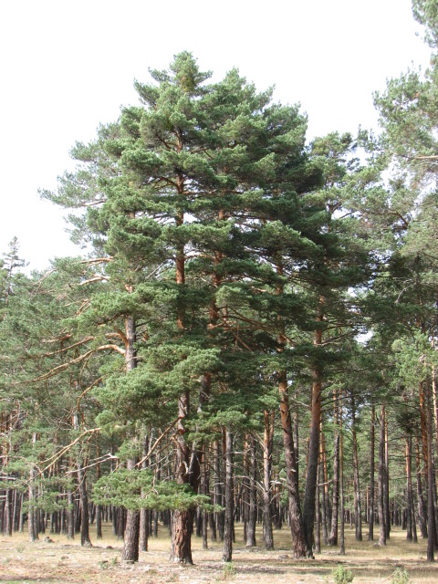
The Intensive Monitoring of Forest Ecosystems (ICP-Forests Level II network) consists currently in 14 monitoring plots representing important Spanish Forest Ecosystems distributed throughout the Spanish mainland showing the most common forest situations of each country and representing rare or endemic situations. The plot 30 Ps represents an Scots pine (Pinus sylvestris) forest located in Soria province. It is an 81 to 100 years old monoespecific regular forest, with a coverage of 85%. Climatic gradient is Supramediterranean. The topography is flat. The soil is made up of sandstones and conglomerates. it is chemically very poor and with limited thickness.
-
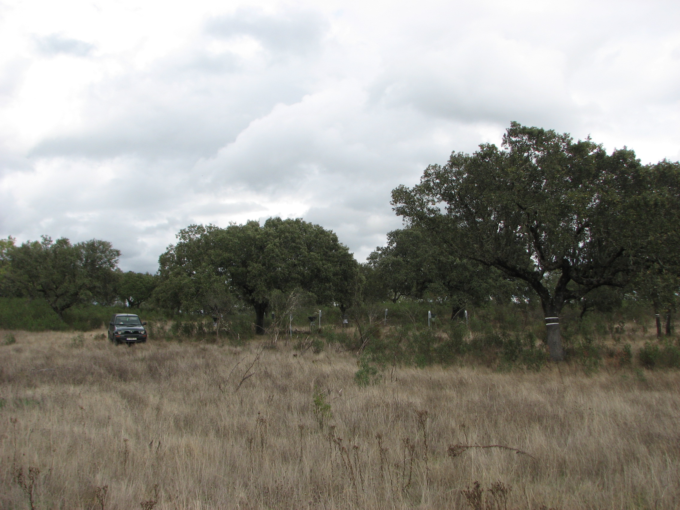
The Intensive Monitoring of Forest Ecosystems (ICP-Forests Level II network) consists currently in 14 monitoring plots representing important Spanish Forest Ecosystems distributed throughout the Spanish mainland showing the most common forest situations of each country and representing rare or endemic situations. The plot represents an Holm oak (Quercus ilex) forest located in the West of the Iberian peninsula. It is a 41-80 years old monospecific regular forest. It is a “dehesa” forest canopy (5 less than fcc less than 20%). Understory formed by Cistus sp and a rich herbal layer. Climatic gradient is Mesomediterranean. Soil is made up of sandstone.
-
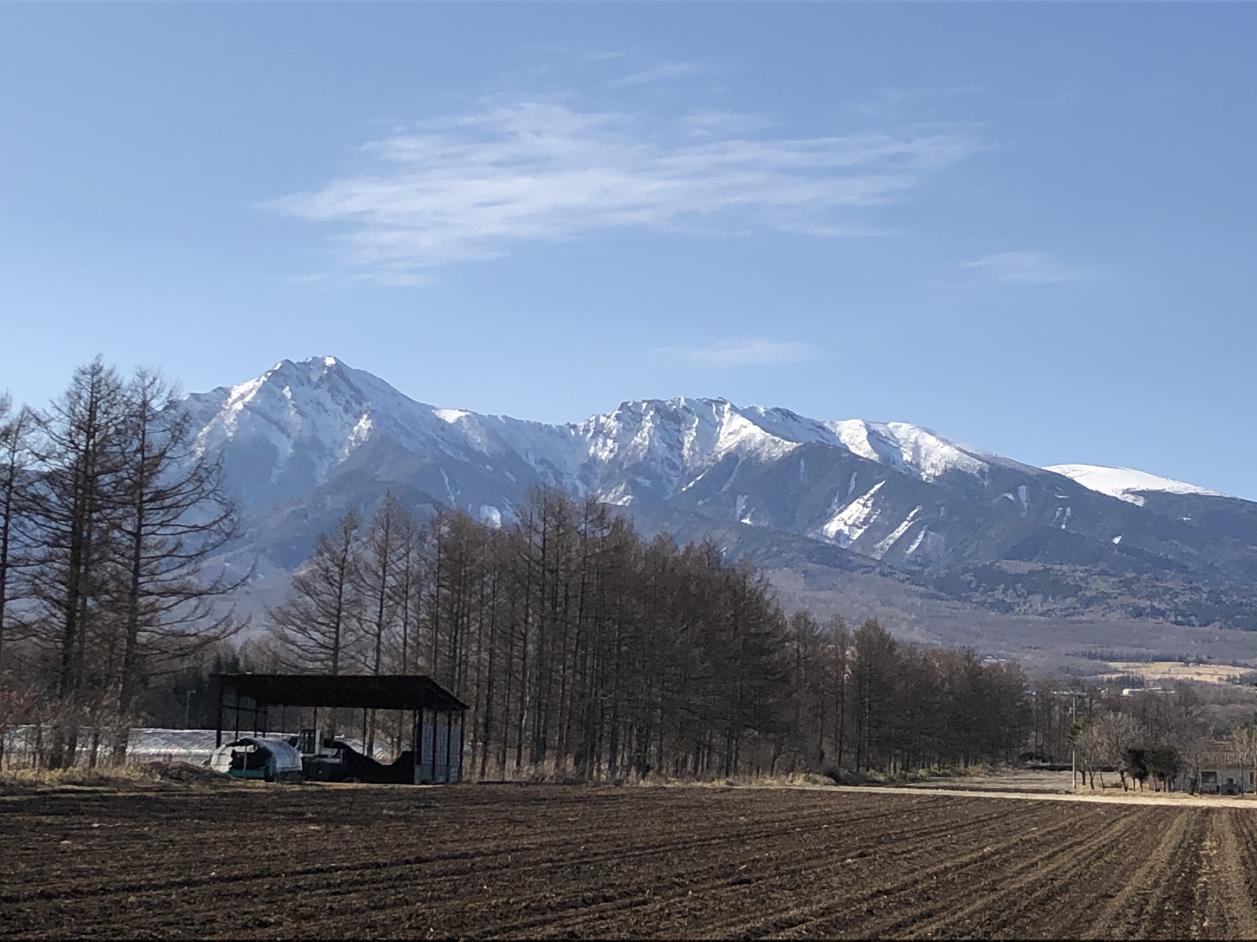
The Yatsugatake-Kawakami Forest of Mountain Science Center, University of Tsukuba, consists of three forest areas: the Yatsugatake Forest (80 ha) located in Minamimaki, Nagano Prefecture, Japan, the "Megumi-no-Mori" (14 ha) on the campus where the administration building is located, and the Kawakami Forest (189 ha) located in Kawakami, Nagano Prefecture, Japan. The Yatsugatake Forest is 1400-1450 m above sea level, and the Megumi-no-Mori is 1350 m above sea level. The forest is characterized by gentle slopes without remarkably topographic change and a mosaic of secondary deciduous broad-leaved forest dominated by oak (Quercus crispula) and Asian black birch (Betula davurica), and intermediate moor characterized by thatch herb (Moliniopsis japonica) and Japanese alder (Alnus japonica). Rare plants such as primrose (Primula sieboldii) and drosera (Drosera rotundifolia) are also found here. Black soil is distributed throughout the Yatsugatake Forest and Megumi-no-Mori. The Kawakami Forest is located between 1360 and 1700 m above sea level. 70% of the forest area is planted with Japanese larch (Larix kaempferi). The rest is a secondary deciduous broadleaf forest dominated by oak and birch. Some of the forests are dominated by a beech (Fagus crenata) stand, a natural Sawara cypress (Chamaecyparis pisifera) stand, and spruce (Picea alcokiana) stand. The forest is covered with brown and black soils, and the topography of the forest is more varied than that of the Yatsugatake Forest, including ridges and valleys. In the Kawakami Forest, an ecological survey of forest mammals is also being conducted. At these three forests, education and research are conducted on ecological surveys of trees, rare plants, and wildlife (population dynamics and conservation ecology), forest meteorological observations, and artificial forest management and operation.
-
The Intensive Monitoring of Forest Ecosystems (ICP-Forests Level II network) consists currently in 14 monitoring plots representing important Spanish Forest Ecosystems distributed throughout the Spanish mainland showing the most common forest situations of each country and representing rare or endemic situations. The Plot 22 Pn represents a Pinus nigra pine forest of Maestrazgo region (Iberian mountain range) . It is an 81 to 100 years old monoespecific regular forest The stand is in the regeneration section, before the final cut. Climatic gradient is Supramediterranean. Plot is located in a hillside, with gentle slope. Soil is calcareous and extremely rocky.
-
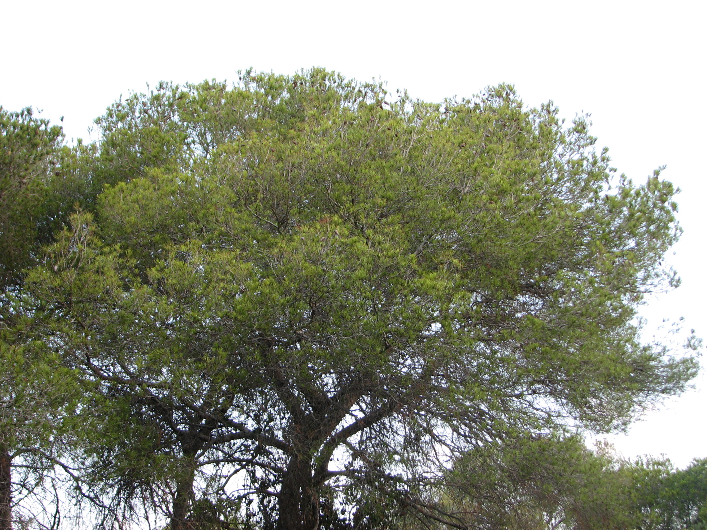
The Intensive Monitoring of Forest Ecosystems (ICP-Forests Level II network) consists currently in 14 monitoring plots representing important Spanish Forest Ecosystems distributed throughout the Spanish mainland showing the most common forest situations of each country and representing rare or endemic situations. The plot 54 Ph represents a Pinus halepensis pine forest located in the eastern part of the Iberian Peninsula, in the coastal zone. It is a regular monospecific stand, a pine forest mixed with some eucalyptus (Eucalyptus rostrata) trees. Climatic gradient is Thermomediterranean. The plot is situated on a gentle slope.