
water turbidity
Type of resources
Available actions
Topics
Keywords
Contact for the resource
Provided by
Years
Formats
Representation types
-
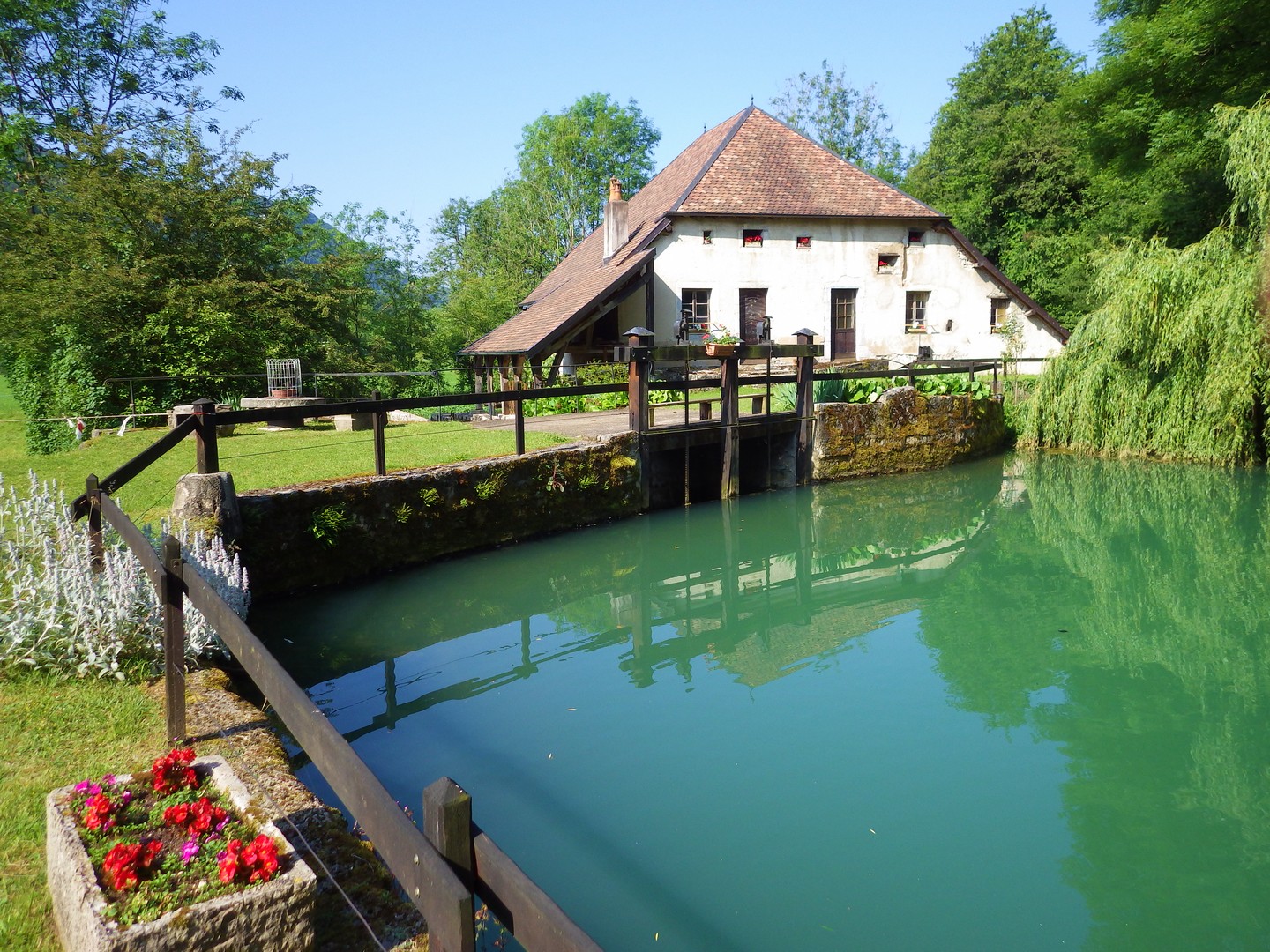
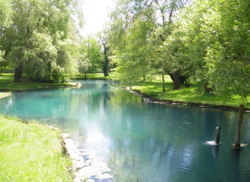
The Jurassic Karst scheme in place since 2009 aims to characterise the long-term evolution of the karst aquifer system of the Jura mountains. The specific topographical context of the Jura mountains allows the study of these aquifers at increasing altitudes along a climatic gradient. The plant cover and soil types vary along this gradient, thereby modulating the biogeochemical functioning of the infiltration zone of the karst hydrosystems. Four karst springs are monitored at sites of increasing altitude: Fourbanne site (Doubs valley, near Baume-les-Dames): altitude 330 m, catchment surface 30 km2; Lods site (upper Loue valley): altitude 380 m, approx. catchment surface 35 km2; Fertans (Amancy plateau): altitude 530 m, approx. catchment surface 1 km2; Mouthe (source of Doubs river): altitude 950 m, approx. catchment surface 50 km2. A number of physico-chemical parameters are monitored continuously on all sites, and supplemented weekly by automatic sampling at Fourbanne, Lods and Fertans. Contact : Marc Steinmann; Chrono-Environment Laboratory – University of Franche-Comté
-
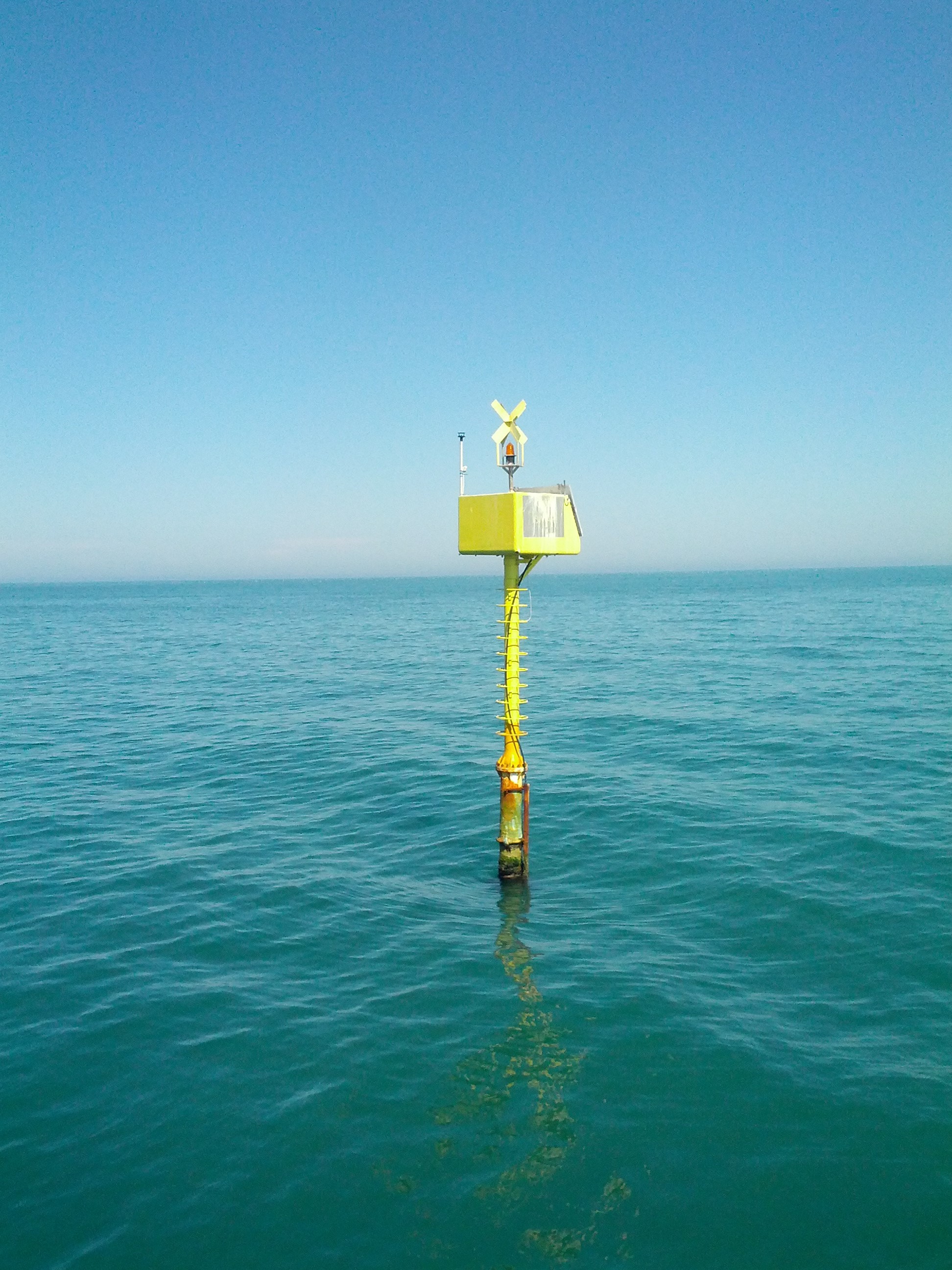
High resolution recording of water quality and water hydrology by two types of sensors monitoring the open lake and reed belt sites at Lake Neusiedl: Hydrolab-Multiparameter sensors measuring temperature, oxygen, pH, conductivity, turbidity and chlorophyll-a; PLSC_sensors for water level, water temperature and water conductivity. The on-line recording of these sensors measures at high time resolution of every three minutes. The two types of sensors are located as follows (in alphabetical order): Hydrolab-Multiparameter_Sensor - Neusiedlersee-Steg: N47°46.208’ & E016°45.129’ Hydrolab-Multiparameter_Sensor - Neusiedlersee-Ruster Poschn: N47°46.631’ & E016°45.187’ PLSC_Sensor - Neusiedlersee-Steg: N47°46.208’ & E016°45.129’ PLSC_Sensor - Bootshafen Biologische Station: N47°46.128’ & E016°45.976’
-
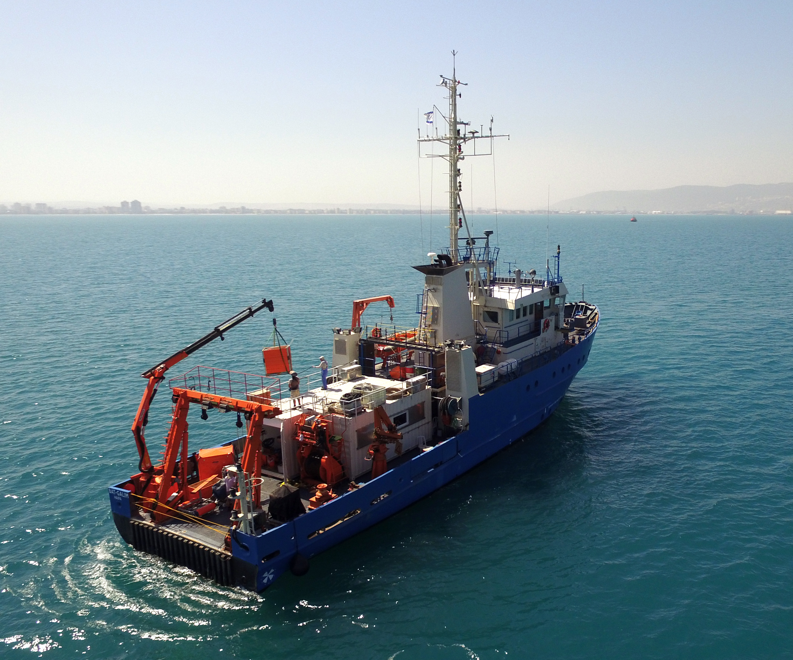
The National Institute of Oceanography (IOLR) is located in Haifa (Tel Shikmona) on the shores of the Mediterranean Sea. The institute engages in research and development in marine sciences and provides information and professional advice to the government and the public sector in the context of the sustainable utilization and conservation of Israel’s marine and coastal resources. The oceanographic studies at the institute are engaged in research, monitoring, and collecting environmental data in the Mediterranean Sea, and in studying natural and unnatural processes. The research topics at the institute include subjects such as; flow and mixing processes; oceanographic models; material cycles; sediment transportation and geological processes; the structure of the seabed; physiology, immunology, and ecology of marine organisms and the populations’ dynamics; the biological diversity in offshore waters and deep seas; effects of human activity on the open sea and coastal environment. IOLR operates advanced instruments and national infrastructures for marine research and monitoring, such as; the national research vessel “Bat Galim”, small ships, and autonomous underwater gliders. A variety of mapping, sampling, data collection, and independent systems are placed at sea for continuous monitoring of environmental variables. In addition, ecological monitoring (community structure, biological diversity, etc.) is carried out in several habitats at a monthly to yearly frequency as follows: • Seasonal ecological monitoring of the Benthos community of the vegetation tables in four sites from north to south since 2009 (also includes a monthly sampling of the water - chlorophyll, nutrients, alkalinity, DIC, temp., pH). • Seasonal ecological monitoring of the benthos community (fish, and biotic cover) of the shallow reefs in the Shekmona/Rash Carmel area. • Annual ecological monitoring of the mesophotic reefs (90-100 meters) at the top of Carmel and the shallow reef. • Monthly zooplankton monitoring at the Hadera station • Monitoring the fish society and the invertebrate community in sandy bottoms • Deep sea monitoring IOLR operates the National Marine Information Center - ISRAMAR, which collects, records, and distributes data and information regarding Israel’s marine environment.
-
Aquitain's karsts observatory (Aquitaine, France) regroups different karst sites located on the edge of the Aquitain sedimentary basin. These karst watersheds range from 0.01 km² (Lascaux cave) and 1 km² (Cussac cave) up to 100 km² (Toulon springs) and the land use consists of forests and agriculture under modified oceanic climate. This observatory consists of various observation and experimentation sites like patrimonial caves and large karstic hydrosystem outlets.
-
Processing of time series of satellite and airborne images, with different spatial and spectral resolution, in order to derive water quality maps based on physically based algorithms parametrised with specific optical properties of lake Garda. Generation of spatial and temporal information of different water quality parameters of surface water column and coastal zone. Dedicated actives of calibration and validation of satellite images, algorithms and products.
-
The Transetto Senigallia-Susak is a transect of sampling stations located in the Northern Adriatic Sea. The IRBIM-CNR in Ancona and the Politechnical University of Marche collects from the end of years 80s physical, chemical and biological data. This is an excellent observing site to analyze the characteristics of water masses entering and leaving the North Adriatic Sea and their possible modification. In the site is also located the TeleSenigallia pylon.
-
The study site starts at the mouth of the river (Vlissingen, the Netherlands) and extends to Gent, 160 km from the mouth, where tidal influence is stopped by sluices. The tributaries the Durme and the Rupel, with the Nete , Dijle and Zenne are also under tidal influence and are considered part of the estuary. The natural inundated areas around the river and the valleys up to 5m TAW are also part of the study system.
-
The LTSER Zone Atelier Bassin de la Moselle belongs to LTER-France network and is located in eastern France, Lorraine / Moselle. The ZAM acquires knowledge for better controls the impact of human activities on the quality of the water resources in Lorraine County (France), in the watershed of the Moselle River.
-
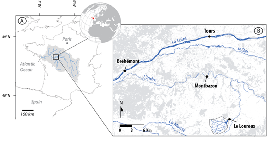
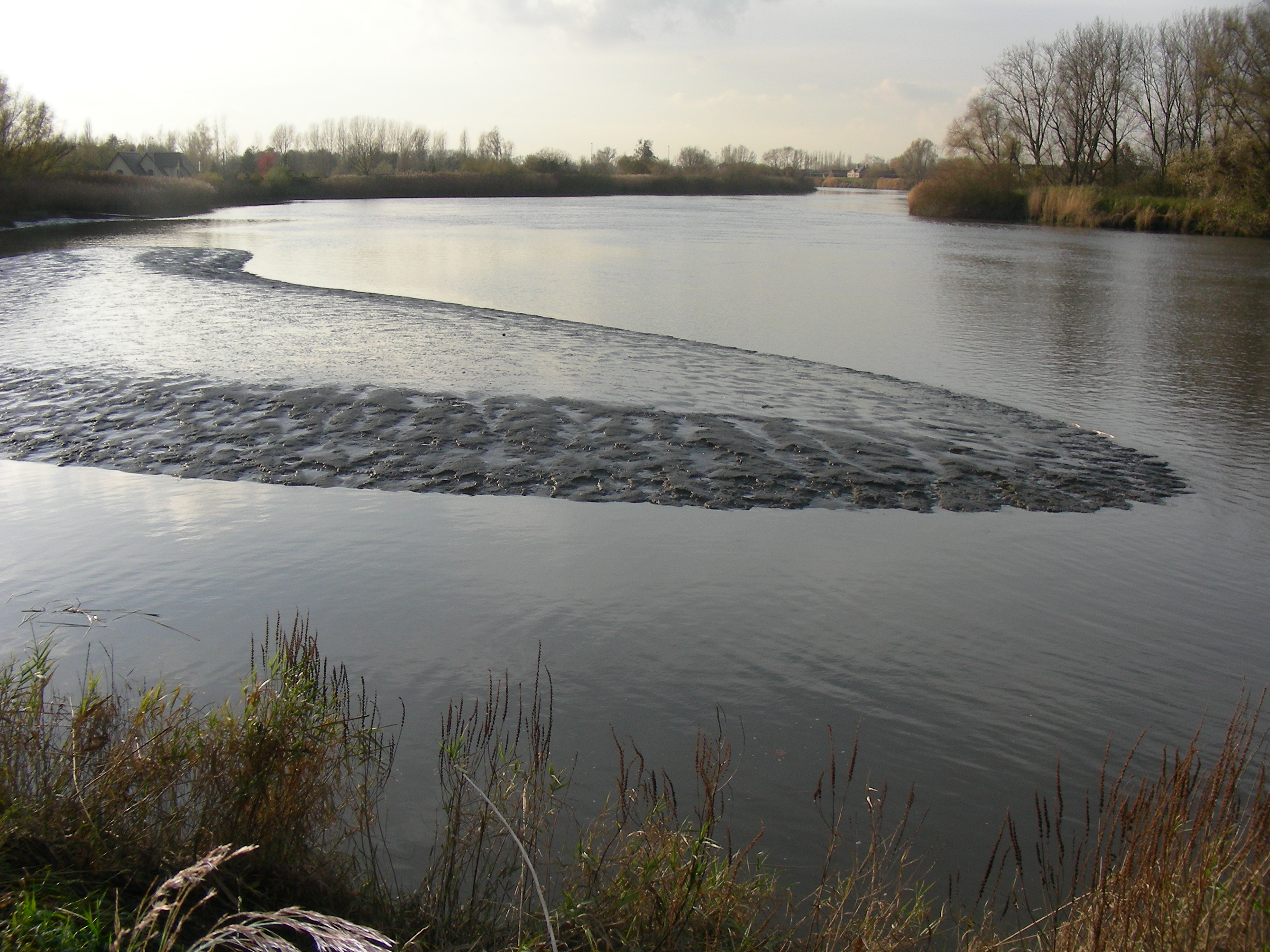
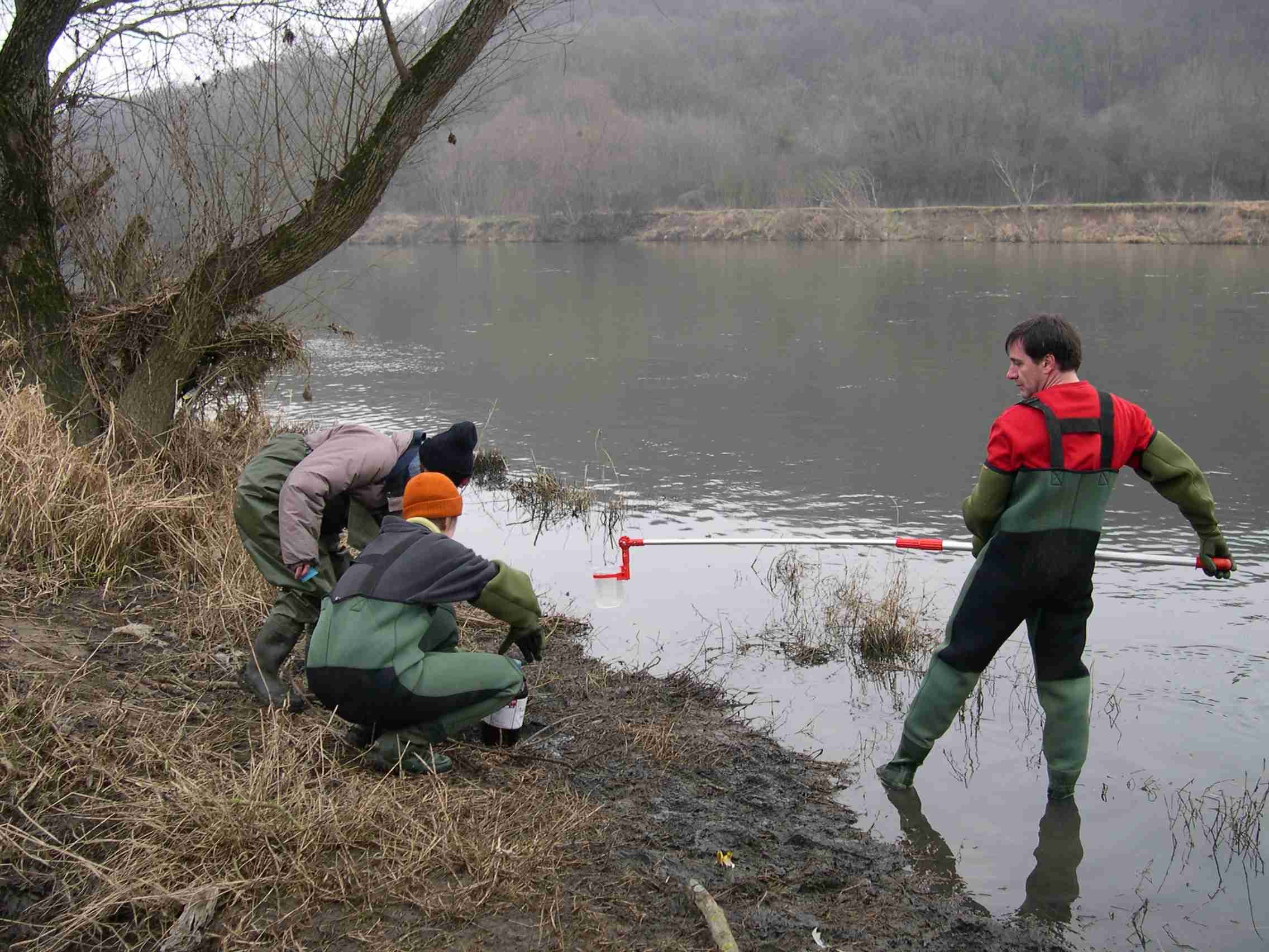
The 25 km² Louroux catchment is located in central France. It is a typical lowland, intensively cultivated catchment with an 11th century pond at its outlet. As in many similar environments, this catchment underwent large landscape changes since the second half of the 20th century: implementation of drainage systems, stream redesign and land reallocation. This resulted in changes in sediment transfer processes and in widespread morphological alterations of water bodies. There is still little combined knowledge on the intensity, processes & sources of sediments in these environments although these are necessary to implement efficient mitigation strategies. Long term sedimentation rates are studied through analysis of sediments accumulated in the pond. Current suspended sediment fluxes are monitored with a high frequency through five hydrosedimentary stations. Fingerprinting techniques are used to trace the origin of sediments.
-
The basis for the Spiekeroog Coastal Observatory (SCO) was established in 2002 as the Time Series Station Spiekeroog. The Coastal Observatory seized preceding research initiatives and grew continuously to the recent observational infrastructure including a multitude of elements and parameters. Today, the SCO and the conducted research around, improve our understanding of environmental change and anthropogenic impacts on coastal areas along the land-sea interface. The unique characteristic of the SCO can be found within this interdisciplinarity of the element sites operated in the largest tidal flat region worldwide.