
2023
Type of resources
Available actions
Topics
Keywords
Contact for the resource
Provided by
Years
Formats
Representation types
Update frequencies
status
-
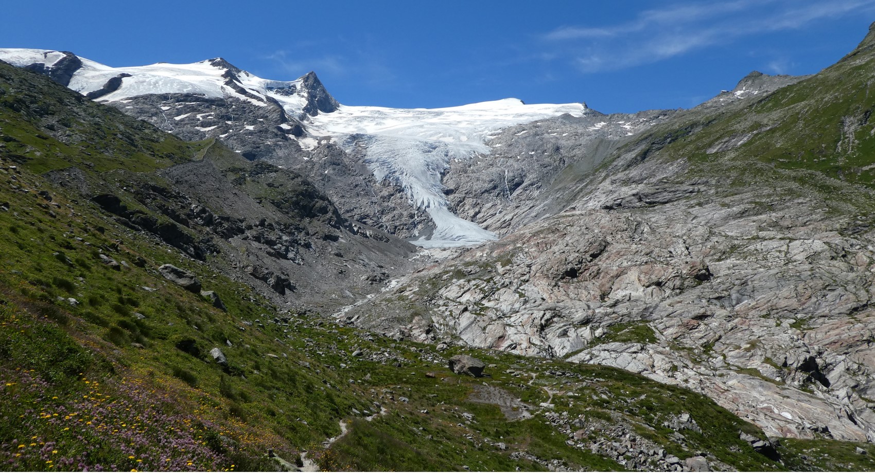
The Hohe Tauern National Park (NPHT) and its region has been conducting specific monitoring programs for research purposes for years, all with links to eLTER. The platform includes a number of measuring facilities, which are all described in specific research sites each, i.e. LTER Hohe Tauern National Park (NPHT), Sonnblick Observatory, Oberes Stubachtal, Mullwitzkees, Venedigerkess and Pasterze. This LTSER platform picks up all possible monitoring acvities within the NPHT region and makes them available for eLTER. The platform is able to carry out and promote natural and social science work.
-
None
-
Situated in the North York Moors, Danby Beck was added to the Network in 2011, when systematic chemical and biological sampling commenced. Surface water acidity data however has been collected since 1990 by Environet, a local volunteer group. The long-term historic pH record plus the site's geographical location in an area of high acid deposition, not originally represented within the original UK Acid Waters Monitoring Network, led to the decision to incorporate Danby Beck into the network. Danby Beck is a sub-catchment in the headwaters of the River Esk. The 77 hectare Danby Beck catchment lies between an elevation of 299m at the sampling point/biological survey section and an altitude of 432m at the trig point to the south east. The site is highly designated. Both the Beck and the catchment lie within the North York Moors SAC, SPA, SSSI and National Park. The catchment also falls within the North York Moors Upland land Management Initiative, a Catchment Sensitive Farming area and is under Entry plus Higher Level Stewardship.
-
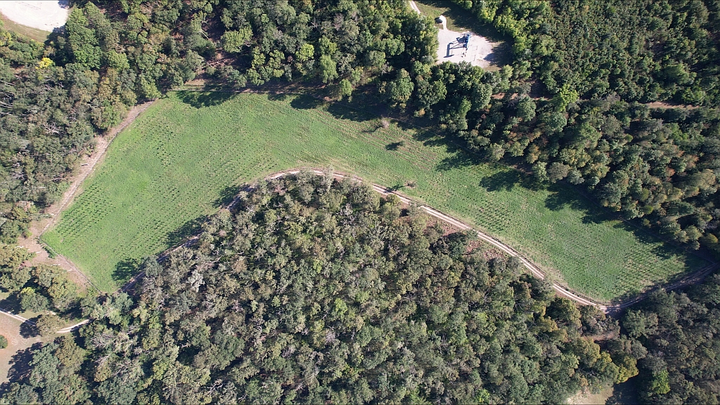
This site is part of the BFW project "Klimaforschungswald". The aim of this research project is to evaluate which tree species will fullfil the important tasks and functions of the forest ecosystem in the future. Furthermore, temperature and precipitation fluctuations in particular are to be documented in order to be able to map a possible trend and the influence of the growing vegetation. A total of 13 different deciduous tree species were planted in the “Klosterwald” area. In the middle of the area, a classic oak-hornbeam row afforestation was planted.
-
This dataset includes records of the long-term monitoring of Doñana’s diurnal butterflies, part of a harmonised protocol of the "Long-term Ecological Monitoring Program of Natural Resources and Processes". The aims is to monitor and assess the dynamics of diurnal butterflies (Papilionoidea) of Doñana.
-
Breeding bird fauna (2006) and bat monitoring (2019) of the Gesäuse-Johnsbachtal site.
-
Basic Services Provision: Education, Health, Social Welfare
-
Meteorological station Schröckalm
-
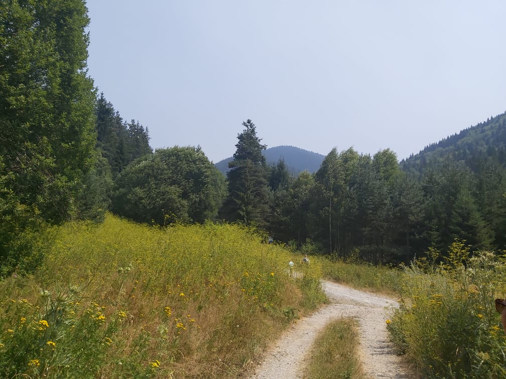
This site is located on the territory of National Park “Rila”, Bulgaria. Parangalitsa has been a reserve since 1933. It is situated on part of the southwestern slopes of Rila mountain, covering 1,509 hectares. It contains some of the oldest pine tree forests in Europe with an average age of over 200 years. The site is a part of the network of bioecological stations of Forest Research Institute – BAS and research is focused on highly productive coniferous forests with unique biomass. In the main experimental plots, long-term complex studies were conducted during the period 1979 - 1998, a large-scale database was created and a number of significant scientific results were obtained. In the period 2000 - 2018, separate targeted studies were carried out - focused on some ecosystem processes, which allows the analysis and evaluation of the functioning of ecosystems to be don
-
Lac de Creteil is located in an urbanized area in the southeast region of Paris France. Its area is 0.4 km2 its perimeter 4 km its length 1.5 km; its width varies between 250 m and 400 m. Its average depth is 4 m with a maximum of 6 m and its volume is 1.9 106 m3. The northern part is shallower than the southern part.